
Former Granary Lightend Barn, granary in Daglingworth, Cotswold, Gloucestershire, UK
Posizione: Daglingworth
Coordinate GPS: 51.75282,-2.00968
Ultimo aggiornamento: 4 luglio 2025 alle 11:07
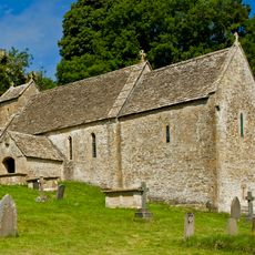
St Michael's Church, Duntisbourne Rouse
891 m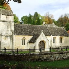
Church of St Margaret
1.8 km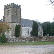
Church of the Holy Rood
1 km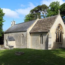
Church of St Peter
2.6 km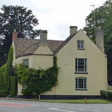
The Bear
2.5 km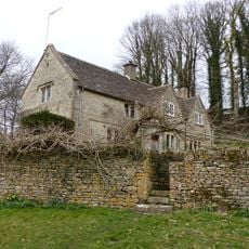
Whitehead's Well
2.7 km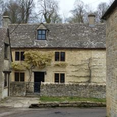
Turner's
2.5 km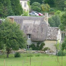
Thatch Cottage
1.8 km
Leigh Cottage
2.5 km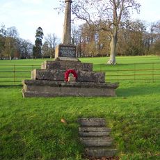
Bagendon War Memorial
1.7 km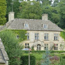
Bagendon Manor or Manor Farm
1.9 km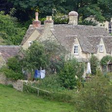
Fairview
1.8 km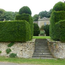
Moor Wood
2.7 km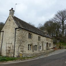
Alice's House
2.5 km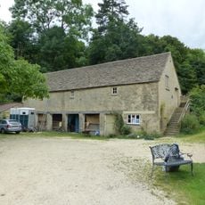
Open-fronted store west of the stables, Moor Wood
2.7 km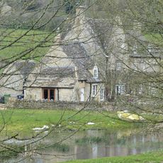
Manor Farmhouse
1.3 km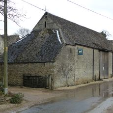
Barn to south of Manor Farmhouse
1.2 km
Trustams Mead
2.5 km
Cartshed and granary with attached cowhouse across road and to south east of Manor Farmhouse
1.2 km
Footbridge to east of ford
1.2 km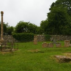
Churchyard cross in St Michael's churchyard
889 m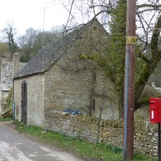
Barn approximately 8 metres south of Duntisbourne Leer Farmhouse
2.5 km
22, Duntisbourne Leer
2.4 km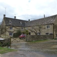
Duntisbourne Leer Farmhouse
2.5 km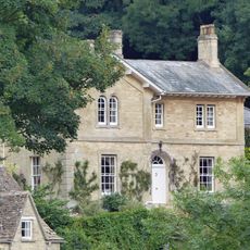
The Old Rectory with service cottage and link wall
1.8 km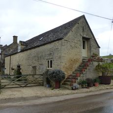
Stables to south east of Manor Farmhouse
1.2 km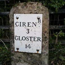
Milestone
375 m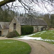
Stables approximately 18 metres south east of Duntisbourne Leer Farmhouse
2.4 kmRecensioni
Ha visitato questo luogo? Tocchi le stelle per valutarlo e condividere la Sua esperienza o foto con la community! Provalo ora! Puoi annullarlo in qualsiasi momento.
Scopri tesori nascosti ad ogni viaggio!
Da piccoli caffè caratteristici a panorami nascosti, fuggi dalla folla e scova i posti che fanno davvero per te. La nostra app ti semplifica tutto: ricerca vocale, filtri furbi, percorsi ottimizzati e dritte autentiche da viaggiatori di tutto il mondo. Scaricala subito per vivere l'avventura sul tuo smartphone!

Un nuovo approccio alla scoperta turistica❞
— Le Figaro
Tutti i luoghi che meritano di essere esplorati❞
— France Info
Un’escursione su misura in pochi clic❞
— 20 Minutes