
Whitehouse Lime Kilns, architectural structure in Nunnykirk, Northumberland, UK
Posizione: Nunnykirk
Coordinate GPS: 55.24072,-1.91991
Ultimo aggiornamento: 5 agosto 2025 alle 11:18
Netherwitton Hall
6.1 km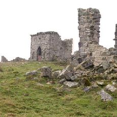
Rothley Castle
5.4 km
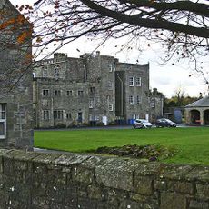
Nunnykirk Hall
3.4 km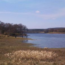
Fontburn
878 m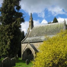
Church of St Giles
6.2 km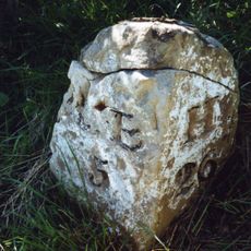
Milestone Circa A Quarter Of A Mile West Of Coltpark
1.5 km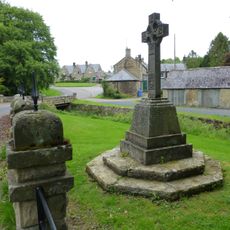
Netherwitton War Memorial
6.1 km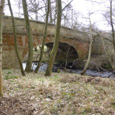
Crossford Bridge Over River Font
5 km
Hartington Hall
6.7 km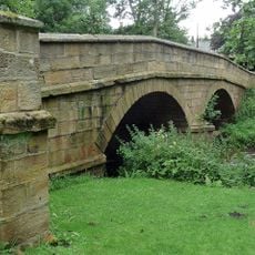
Netherwitton Bridge Over River Font
6.2 km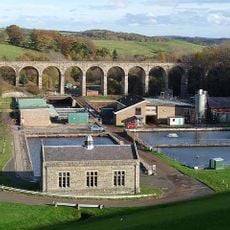
Fontburn Viaduct
323 m
Milestone At Ewesley Station
1.6 km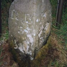
Milestone Circa A Quarter Of A Mile West Of Holling Hill
3 km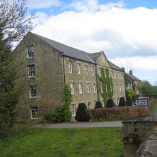
Netherwitton Mill
6.2 km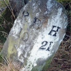
Milestone At Rothley Crossyards
5.8 km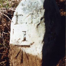
Milestone Circa 1 Mile South Of Rothbury
5.9 km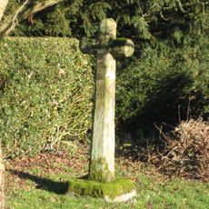
Netherwitton Village Cross In Garden Of Font House
6.1 km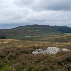
Round cairn on Garleigh Hill, 790m north east of Lordenshaw
5.2 km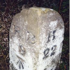
Milestone At Donkin Rigg Road End
4.8 km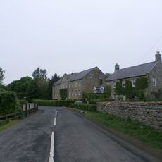
Netherwitton Farmhouse
6.2 km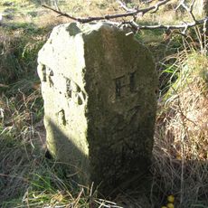
Milestone Circa 200 Yards South West Of Coldside
1.9 km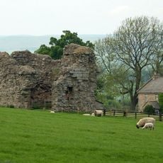
Tosson Tower
6.8 km
Cup and ring marked rock and adjacent stone setting, 820m east of Whittondean Farm
6.1 km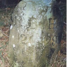
Milestone Circa A Quarter Of A Mile East Of Lordenshaw
4.4 km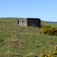
Pill Box At Nu 067005
6.5 km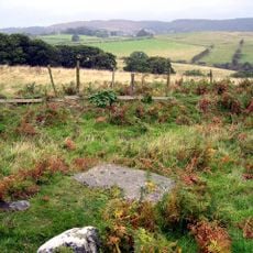
Cup and ring marked rock, 940m south-west of Wagtail Farm
6.2 km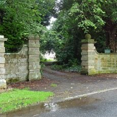
Gate Piers And Screen Walls To South-East Of Netherwitton Hall
6.3 km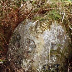
Milestone, Codger Fort
4 kmRecensioni
Ha visitato questo luogo? Tocchi le stelle per valutarlo e condividere la Sua esperienza o foto con la community! Provalo ora! Puoi annullarlo in qualsiasi momento.
Scopri tesori nascosti ad ogni viaggio!
Da piccoli caffè caratteristici a panorami nascosti, fuggi dalla folla e scova i posti che fanno davvero per te. La nostra app ti semplifica tutto: ricerca vocale, filtri furbi, percorsi ottimizzati e dritte autentiche da viaggiatori di tutto il mondo. Scaricala subito per vivere l'avventura sul tuo smartphone!

Un nuovo approccio alla scoperta turistica❞
— Le Figaro
Tutti i luoghi che meritano di essere esplorati❞
— France Info
Un’escursione su misura in pochi clic❞
— 20 Minutes