
Chestnut Farmhouse, farmhouse in Haresfield, Stroud, Gloucestershire, UK
Posizione: Haresfield
Coordinate GPS: 51.79481,-2.27397
Ultimo aggiornamento: 15 luglio 2025 alle 04:50
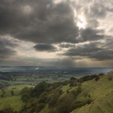
Haresfield Beacon
2 km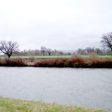
Hardwicke Court
2.6 km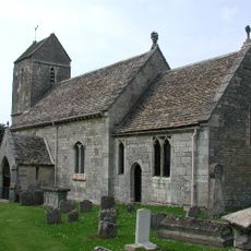
St Swithun's Church, Brookthorpe
2.8 km
Church of St James
3.5 km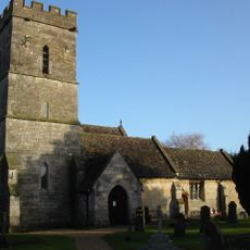
Church of St Nicholas
2.5 km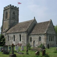
Church of St Margaret
3.6 km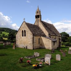
Church of St John the Baptist
2.5 km
Church of St John the Baptist
3.6 km
Church of St Nicholas
2.6 km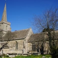
Church of St Peter
365 m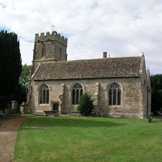
Church of St Stephen
3.4 km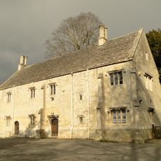
Church House
2.5 km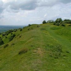
Haresfield Hill camp and Ring Hill earthworks
2.1 km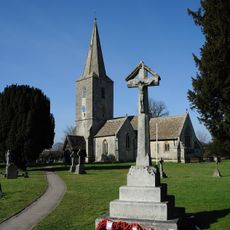
Quedgeley War Memorial
3.5 km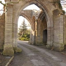
Almory Gateway or Gatehouse
2.6 km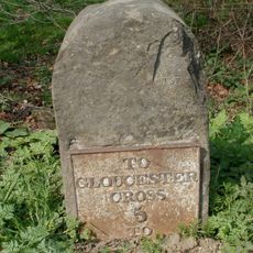
Milestone
1.9 km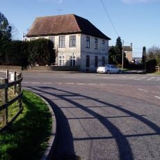
Yew Tree Farm House
3.2 km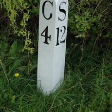
Milepost At National Grid Reference So 796 137
3.4 km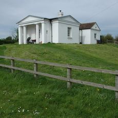
Bridge Keeper's House To North West Of Hardwicke Bridge
3 km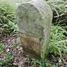
Milestone
3.6 km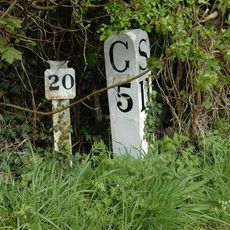
Milepost And Length Marker
3.1 km
Milepost At National Grid Reference So 779 112
3.3 km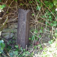
Boundary Post
3.6 km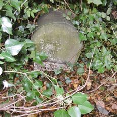
Milestone
2.1 km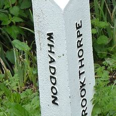
Boundary Post
3.3 km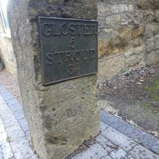
Milestone
2.9 km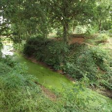
The Mount moated site
288 m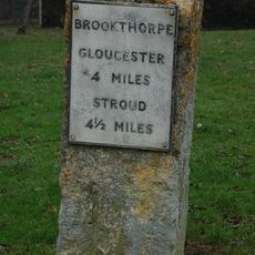
Milestone, Brookthorpe, opp. Fagins PH
2.9 kmRecensioni
Ha visitato questo luogo? Tocchi le stelle per valutarlo e condividere la Sua esperienza o foto con la community! Provalo ora! Puoi annullarlo in qualsiasi momento.
Scopri tesori nascosti ad ogni viaggio!
Da piccoli caffè caratteristici a panorami nascosti, fuggi dalla folla e scova i posti che fanno davvero per te. La nostra app ti semplifica tutto: ricerca vocale, filtri furbi, percorsi ottimizzati e dritte autentiche da viaggiatori di tutto il mondo. Scaricala subito per vivere l'avventura sul tuo smartphone!

Un nuovo approccio alla scoperta turistica❞
— Le Figaro
Tutti i luoghi che meritano di essere esplorati❞
— France Info
Un’escursione su misura in pochi clic❞
— 20 Minutes