
Forecourt Walls And Piers To North Of Newbrough Park And Bridge House
Forecourt Walls And Piers To North Of Newbrough Park And Bridge House, wall in Newbrough, Northumberland, UK
Posizione: Newbrough
Coordinate GPS: 55.00532,-2.19990
Ultimo aggiornamento: 5 marzo 2025 alle 10:00
Carrawburgh
3.7 km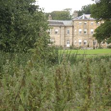
Chesters
4.3 km
Milecastle 29
3.6 km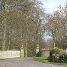
Walwick Grange
3.7 km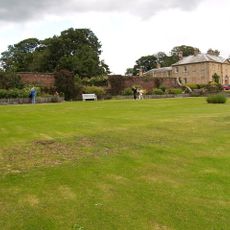
Newbrough Hall
424 m
Milecastle 30
3.7 km
Milecastle 28
4 km
Milecastle 32
4.1 km
Warden Railway Bridge
4.4 km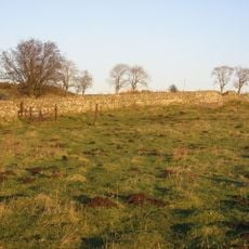
Milecastle 31
3.7 km
Warden Bridge
4.2 km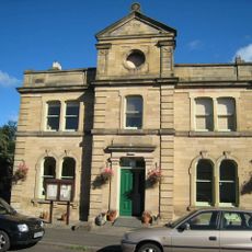
Town Hall
92 m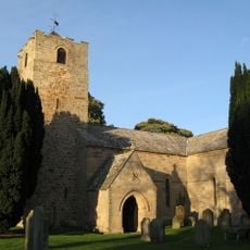
Church of St Michael
4.3 km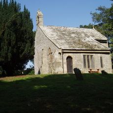
Haydon Old Church
4 km
Coventina's Well
3.6 km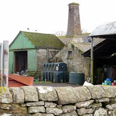
Thornton Tower
501 m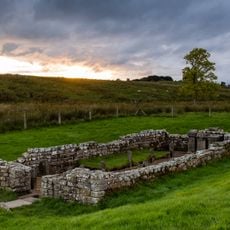
Carrawburgh Roman fort and Hadrian's Wall and vallum
3.6 km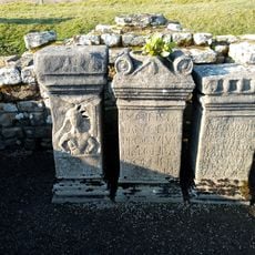
Brocolitia Mithraic temple
3.5 km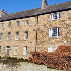
Little Walwick
4 km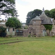
Power House To North East Of Newbrough Hall
477 m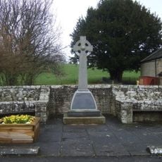
Newbrough War Memorial
78 m
Brocolitia Roman fort
3.6 km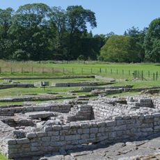
The Roman fort, vicus, bridge abutments and associated remains of Hadrian's Wall at Chesters in wall mile 27
4.2 km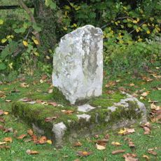
Medieval wayside cross, 780m SSE of Walwick Grange
3.7 km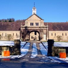
Stable Block 200 Metres North Of Chesters
4.4 km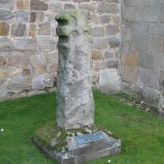
Cross In Churchyard About 3 Metres South Of Tower Of Church Of St Michael
4.3 km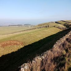
Hadrian's Wall and vallum between the road to Simonburn and the field boundary east of Carrawburgh car park in wall miles 29, 30 and 31
3.6 km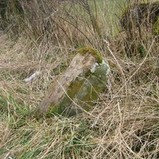
Milestone, Rye Hill, Walwick
3.9 kmRecensioni
Ha visitato questo luogo? Tocchi le stelle per valutarlo e condividere la Sua esperienza o foto con la community! Provalo ora! Puoi annullarlo in qualsiasi momento.
Scopri tesori nascosti ad ogni viaggio!
Da piccoli caffè caratteristici a panorami nascosti, fuggi dalla folla e scova i posti che fanno davvero per te. La nostra app ti semplifica tutto: ricerca vocale, filtri furbi, percorsi ottimizzati e dritte autentiche da viaggiatori di tutto il mondo. Scaricala subito per vivere l'avventura sul tuo smartphone!

Un nuovo approccio alla scoperta turistica❞
— Le Figaro
Tutti i luoghi che meritano di essere esplorati❞
— France Info
Un’escursione su misura in pochi clic❞
— 20 Minutes