
Barn Approximately 12 Metres East Of Humphries End House
Barn Approximately 12 Metres East Of Humphries End House, barn in Randwick, Stroud, Gloucestershire, UK
Posizione: Randwick and Westrip
Coordinate GPS: 51.75297,-2.24519
Ultimo aggiornamento: 27 marzo 2025 alle 16:23
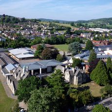
Marling School
1.1 km
Stroud Bowl
2 km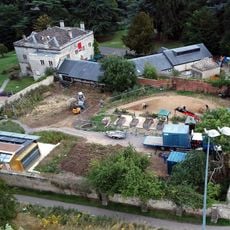
Stratford Park
1.5 km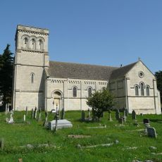
Church of St Paul
1.2 km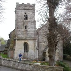
Church of St John the Baptist
770 m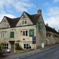
Star Inn
1.2 km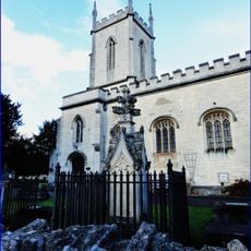
Church of St Matthew
1.1 km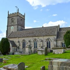
Church of St Mary Magdalene
2 km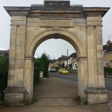
Archway, Formerly To Farm Hill Park
689 m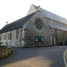
Church of the Immaculate Conception
1.9 km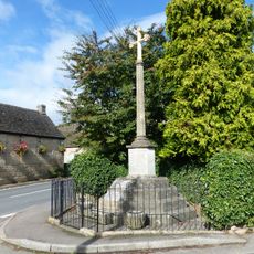
Whiteshill War Memorial
1.2 km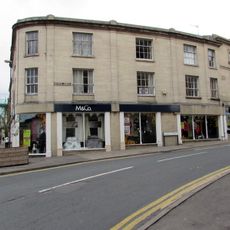
The Cooperative Stores
2 km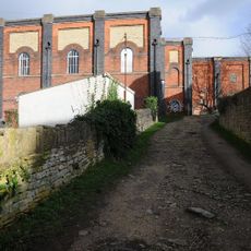
Lodgemoor Mills
1.6 km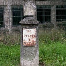
Sundial And Milepost
1.1 km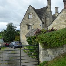
Stokenhill Farmhouse
1.7 km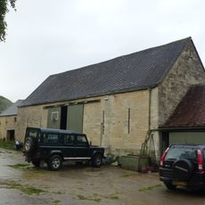
Barn approximately 10 metres south of Ruscombe Farmhouse
899 m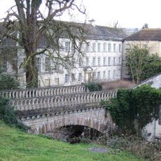
Lodgemoor Mills Bridge
1.6 km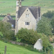
Privy approximately 30 metres west of Stokenhill Farmhouse
1.6 km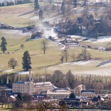
Ebley Mill
1.5 km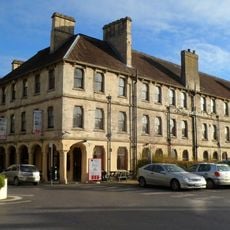
Imperial Hotel
2 km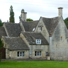
Rock Mill House
1.8 km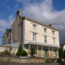
Nos 1 and 2 (Gannicox House) and No 3
1.4 km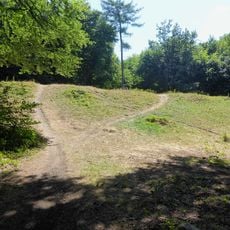
Randwick Hill long barrow, round barrows and dyke
1.1 km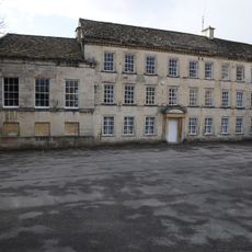
Lodgemoor Mills Office Block
1.6 km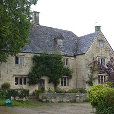
Ruscombe Farmhouse
894 m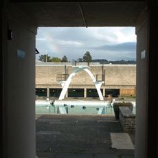
Stratford Park Diving Platform
1.4 km
Numbers 1 to 10 (consecutive) including iron railings to areas of Numbers 1, 2, 3 and 6
2 km
23 And 25, Westward Road
1.2 kmRecensioni
Ha visitato questo luogo? Tocchi le stelle per valutarlo e condividere la Sua esperienza o foto con la community! Provalo ora! Puoi annullarlo in qualsiasi momento.
Scopri tesori nascosti ad ogni viaggio!
Da piccoli caffè caratteristici a panorami nascosti, fuggi dalla folla e scova i posti che fanno davvero per te. La nostra app ti semplifica tutto: ricerca vocale, filtri furbi, percorsi ottimizzati e dritte autentiche da viaggiatori di tutto il mondo. Scaricala subito per vivere l'avventura sul tuo smartphone!

Un nuovo approccio alla scoperta turistica❞
— Le Figaro
Tutti i luoghi che meritano di essere esplorati❞
— France Info
Un’escursione su misura in pochi clic❞
— 20 Minutes