
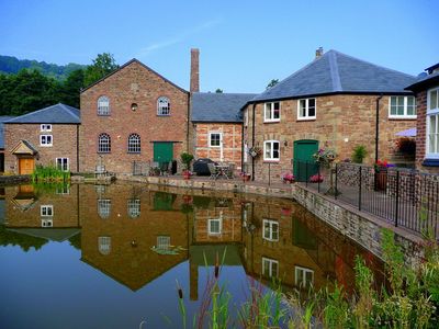
Bill Mills, building in Weston under Penyard, County of Herefordshire, UK
Posizione: Weston under Penyard
Coordinate GPS: 51.89200,-2.54579
Ultimo aggiornamento: 4 marzo 2025 alle 17:25
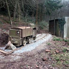
Lea Bailey Light Railway
2.8 km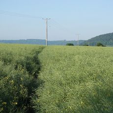
Ariconium
2.7 km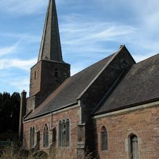
Church of St John the Baptist
3.2 km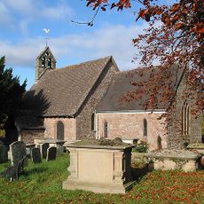
Church of St Michael
2 km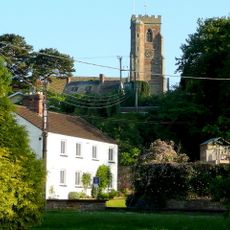
Church of St Lawrence
1.7 km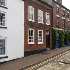
13, Church Street
3.6 km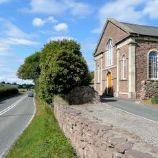
Baptist Church
1.8 km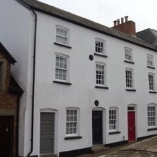
10-12, Church Street
3.6 km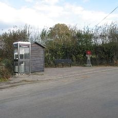
Howle Hill War Memorial
2.3 km
Market House
3.6 km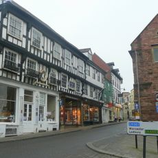
Man Of Ross House
3.6 km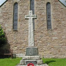
Weston under Penyard War Memorial
1.7 km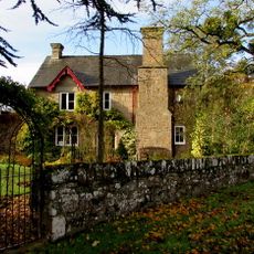
Coughton Mill House
2.4 km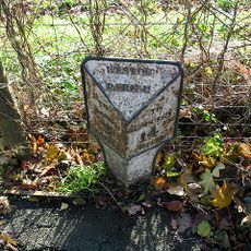
Milestone
1.9 km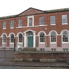
Walter Scott Charity School
3.5 km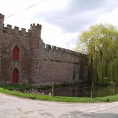
Barn On West Side Of Farmyard And Curtain Wall Enclosing Yard At Bollitree Castle
2.7 km
The Maltings
3.6 km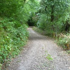
Camp in Chase Wood
2.4 km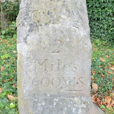
Milestone Approximately 20 Metres East Of Weston House
1.9 km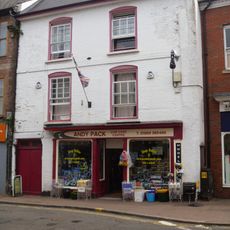
37, Broad Street
3.6 km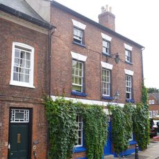
Linden House
3.6 km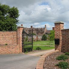
Weston Hall
2.1 km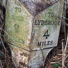
Milestone
3.2 km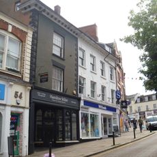
55 And 56, Broad Street
3.6 km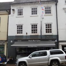
York House Steak Bar
3.6 km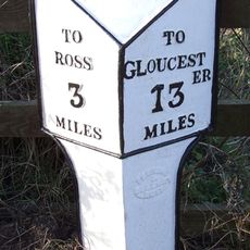
Milepost, Ryeford South
1.8 km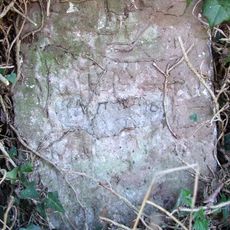
Milestone, Eccleswall
3.2 km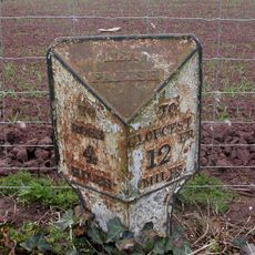
Milepost, 80m S jcn B4224
2.9 kmRecensioni
Ha visitato questo luogo? Tocchi le stelle per valutarlo e condividere la Sua esperienza o foto con la community! Provalo ora! Puoi annullarlo in qualsiasi momento.
Scopri tesori nascosti ad ogni viaggio!
Da piccoli caffè caratteristici a panorami nascosti, fuggi dalla folla e scova i posti che fanno davvero per te. La nostra app ti semplifica tutto: ricerca vocale, filtri furbi, percorsi ottimizzati e dritte autentiche da viaggiatori di tutto il mondo. Scaricala subito per vivere l'avventura sul tuo smartphone!

Un nuovo approccio alla scoperta turistica❞
— Le Figaro
Tutti i luoghi che meritano di essere esplorati❞
— France Info
Un’escursione su misura in pochi clic❞
— 20 Minutes