
Former Granary About 15 Metres North Of Chart Place Cottages
Former Granary About 15 Metres North Of Chart Place Cottages, granary in Chart Sutton, Maidstone, Kent, UK
Posizione: Chart Sutton
Coordinate GPS: 51.21625,0.58231
Ultimo aggiornamento: 17 marzo 2025 alle 18:11
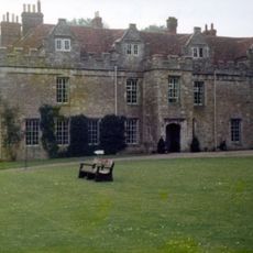
Boughton Monchelsea Place
3.3 km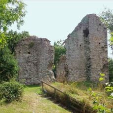
Sutton Valence Castle
1.2 km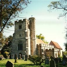
St Peter's and St Paul's Church, East Sutton
2.3 km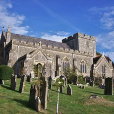
Church of St Peter
3.3 km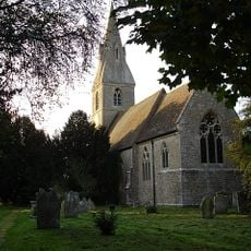
Church of St Mary
2 km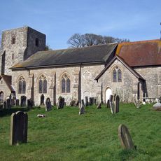
Church of St Michael
93 m
Church of St Mary, Sutton Valence
612 m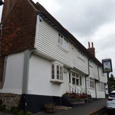
The Swan Public House
1 km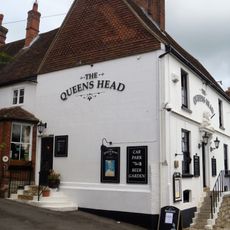
The Queens Head Public House
772 m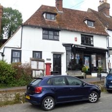
Parish Council Offices The Post Office
1 km
The White House
971 m
Ye Old Poste House
944 m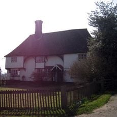
Parsonage Farmhouse
2.9 km
Central Stores Sutton Dene
936 m
Osborne House
769 m
Aylmer House And House Adjoining To Left
1 km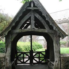
Lychgate
3.4 km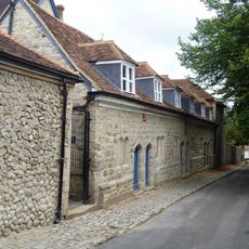
Former Almshouses, Now Part Of Sutton Valence School
870 m
Little Ashurst
2.2 km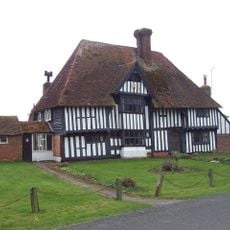
Rabbit's Cross Farmhouse
2.9 km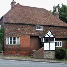
Hillside House
723 m
Linden House
960 m
Lady Mor The Old Bakery
987 m
2 And 3, Tumblers Hill
1.1 km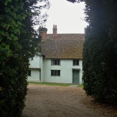
Court House
1.1 km
4, Tumblers Hill
1.1 km
Holbrook
2.7 km
Manor Farmhouse
664 mRecensioni
Ha visitato questo luogo? Tocchi le stelle per valutarlo e condividere la Sua esperienza o foto con la community! Provalo ora! Puoi annullarlo in qualsiasi momento.
Scopri tesori nascosti ad ogni viaggio!
Da piccoli caffè caratteristici a panorami nascosti, fuggi dalla folla e scova i posti che fanno davvero per te. La nostra app ti semplifica tutto: ricerca vocale, filtri furbi, percorsi ottimizzati e dritte autentiche da viaggiatori di tutto il mondo. Scaricala subito per vivere l'avventura sul tuo smartphone!

Un nuovo approccio alla scoperta turistica❞
— Le Figaro
Tutti i luoghi che meritano di essere esplorati❞
— France Info
Un’escursione su misura in pochi clic❞
— 20 Minutes