
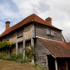
Mill House, house in Wittersham, Ashford, Kent, UK
Posizione: Wittersham
Coordinate GPS: 51.01315,0.71018
Ultimo aggiornamento: 27 aprile 2025 alle 21:36
Smallhythe Place
2.9 km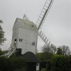
Stocks Mill
1.1 km
Houghton Green Cliff
5.8 km
Flatropers Wood
5.6 km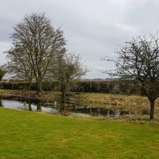
National Trust
2.9 km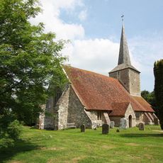
The Parish Church of St Michael
5.9 km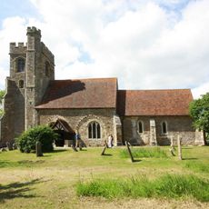
The Parish Church of All Saints
3.7 km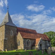
The Parish Church of St Peter and St Paul
5.6 km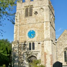
Church of St Peter and St Paul
5.9 km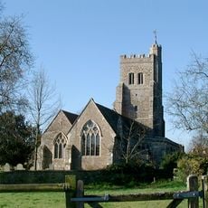
Parish Church of St John the Baptist
534 m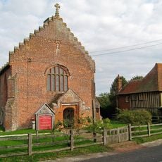
Church of St John the Baptist
3 km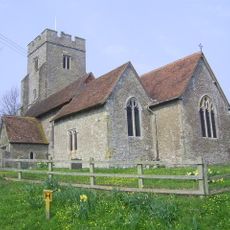
Parish Church of St Mary the Virgin
3.8 km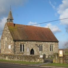
Church of St Mary
3.9 km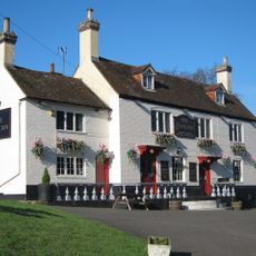
The Cock Inn
4.6 km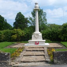
Wittersham War Memorial
159 m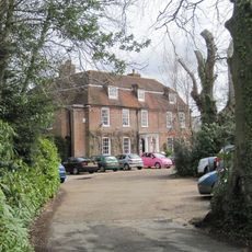
Flackley Ash
4.5 km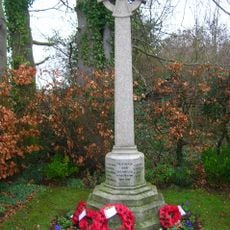
Iden War Memorial
3.7 km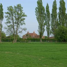
Ashenden
4.2 km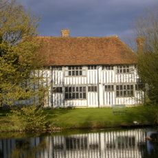
Maynard's Farmhouse
5.8 km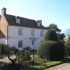
The Hall
1.3 km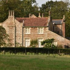
Peasmarsh House
5.5 km
Becket's House
5.7 km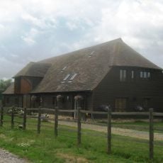
Barn Circa 50 Yards West Of Becket's Barn Farmhouse
6.1 km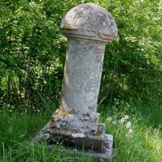
Royal Military Canal, Iden Lock to Kent Ditch
4.4 km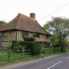
Priest's House
3 km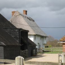
Oxenbridge Farmhouse
3 km
Milestone, 20m W jcn Buddens Green
5.5 km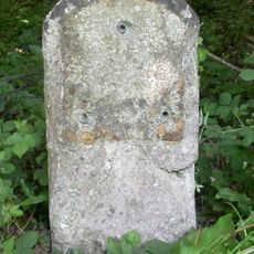
Milestone, Wish Wood
4.9 kmRecensioni
Ha visitato questo luogo? Tocchi le stelle per valutarlo e condividere la Sua esperienza o foto con la community! Provalo ora! Puoi annullarlo in qualsiasi momento.
Scopri tesori nascosti ad ogni viaggio!
Da piccoli caffè caratteristici a panorami nascosti, fuggi dalla folla e scova i posti che fanno davvero per te. La nostra app ti semplifica tutto: ricerca vocale, filtri furbi, percorsi ottimizzati e dritte autentiche da viaggiatori di tutto il mondo. Scaricala subito per vivere l'avventura sul tuo smartphone!

Un nuovo approccio alla scoperta turistica❞
— Le Figaro
Tutti i luoghi che meritano di essere esplorati❞
— France Info
Un’escursione su misura in pochi clic❞
— 20 Minutes