
Boundary Stone 100 Metres South-East Of High Shilford Farmhouse
Boundary Stone 100 Metres South-East Of High Shilford Farmhouse, boundary marker in Broomhaugh and Riding, Northumberland, UK
Posizione: Broomhaugh and Riding
Parte di: political border
Coordinate GPS: 54.93888,-1.96733
Ultimo aggiornamento: 28 maggio 2025 alle 05:17
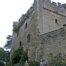
Bywell Castle
3 km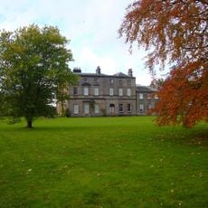
Bywell Hall
2.7 km
Minsteracres
4.9 km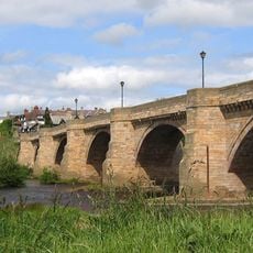
Corbridge Bridge
5 km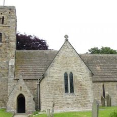
St Andrew's Church, Bywell
2.8 km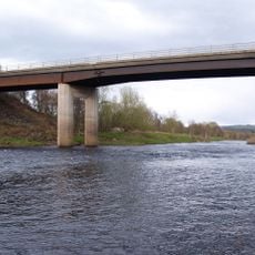
Styford Bridge
1.6 km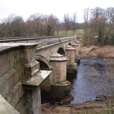
Bywell Bridge
3.4 km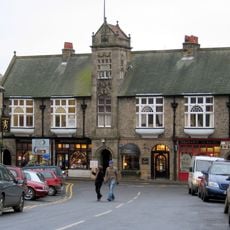
Town Hall With Shops
5.1 km
Hindley Hall
3.1 km
Church of St John
2.2 km
Church of St James
914 m
Church of St Peter
2.9 km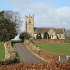
Church of St James
5 km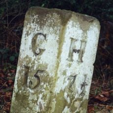
Milestone 200 Metres East Of Broomley Road Junction
2.7 km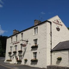
Wellington Inn
1.1 km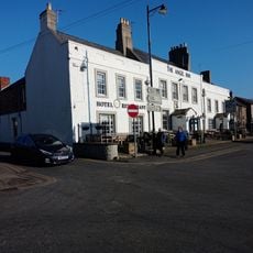
The Angel Inn
5 km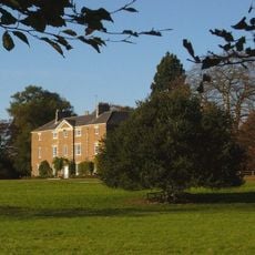
Styford Hall
1.7 km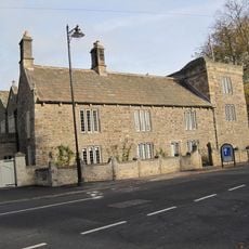
Low Hall
4.9 km
East Portal Of Farnley Scar Tunnel
3.4 km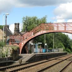
Footbridge at Riding Mill railway station
1.1 km
The Manor House And Wall Attached To Rear
1.4 km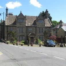
Monksholme
4.9 km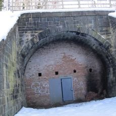
West Portal Of Farnley Scar Tunnel
3.5 km
Milepost 90 Metres East Of Styford Lodge
3.2 km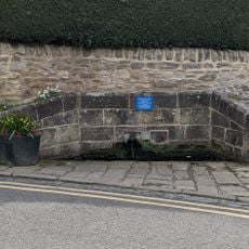
Hydrants And Trough At Junction With Orchard Crescent
5 km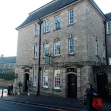
Lloyds Bank
5 km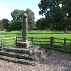
Village Cross
2.9 km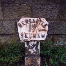
Milepost, approach on S side of bridge
4.9 kmRecensioni
Ha visitato questo luogo? Tocchi le stelle per valutarlo e condividere la Sua esperienza o foto con la community! Provalo ora! Puoi annullarlo in qualsiasi momento.
Scopri tesori nascosti ad ogni viaggio!
Da piccoli caffè caratteristici a panorami nascosti, fuggi dalla folla e scova i posti che fanno davvero per te. La nostra app ti semplifica tutto: ricerca vocale, filtri furbi, percorsi ottimizzati e dritte autentiche da viaggiatori di tutto il mondo. Scaricala subito per vivere l'avventura sul tuo smartphone!

Un nuovo approccio alla scoperta turistica❞
— Le Figaro
Tutti i luoghi che meritano di essere esplorati❞
— France Info
Un’escursione su misura in pochi clic❞
— 20 Minutes