
Spout Well, well in Corbridge, Northumberland, UK
Posizione: Corbridge
Coordinate GPS: 54.97230,-2.01253
Ultimo aggiornamento: 5 marzo 2025 alle 14:26
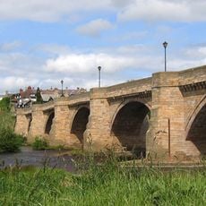
Corbridge Bridge
407 m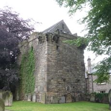
Corbridge Vicar's Pele
455 m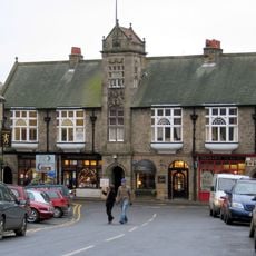
Town Hall With Shops
378 m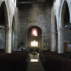
Church of St Andrew
523 m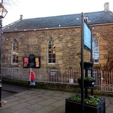
Market Place Chapel And Area Railings
483 m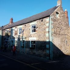
Black Bull Inn
435 m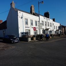
The Angel Inn
372 m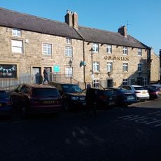
The Golden Lion Public House
393 m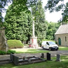
Corbridge War Memorial
944 m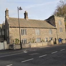
Low Hall
214 m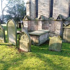
Wilson Tomb 3 Metres East Of Church Of St Andrew
503 m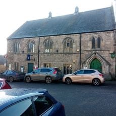
Corbridge Library
396 m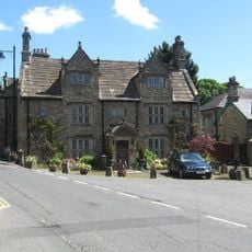
Monksholme
183 m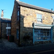
Norma James Dress Shop And Attached Cottage To Rear
412 m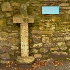
Old Market Cross Set Against Churchyard Wall 2 Metres East Of Vicars Pele
494 m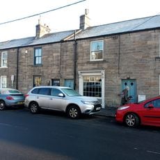
4-6, Watling Street
601 m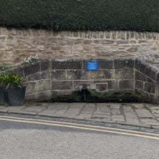
Hydrants And Trough At Junction With Orchard Crescent
330 m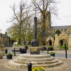
Corbridge Market Cross
506 m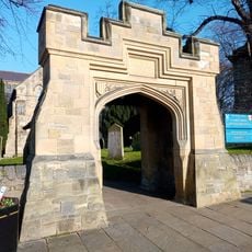
Lych Gate to Churchyard
510 m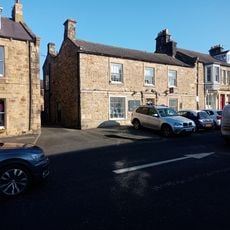
Heron House
450 m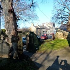
Churchyard Wall With Hearse House And Entrance Gateway
540 m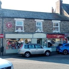
9, Market Place
516 m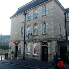
Lloyds Bank
387 m
14,16, Hill Street
439 m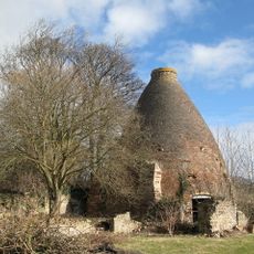
Walkers Pottery: East Bottle Kiln
1 km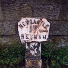
Milepost, approach on S side of bridge
471 m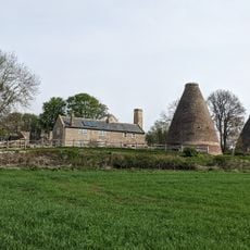
Kilns, Corbridge pottery
1 km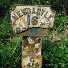
Milepost, Howden Dene, near Cricket Plantation
965 mRecensioni
Ha visitato questo luogo? Tocchi le stelle per valutarlo e condividere la Sua esperienza o foto con la community! Provalo ora! Puoi annullarlo in qualsiasi momento.
Scopri tesori nascosti ad ogni viaggio!
Da piccoli caffè caratteristici a panorami nascosti, fuggi dalla folla e scova i posti che fanno davvero per te. La nostra app ti semplifica tutto: ricerca vocale, filtri furbi, percorsi ottimizzati e dritte autentiche da viaggiatori di tutto il mondo. Scaricala subito per vivere l'avventura sul tuo smartphone!

Un nuovo approccio alla scoperta turistica❞
— Le Figaro
Tutti i luoghi che meritano di essere esplorati❞
— France Info
Un’escursione su misura in pochi clic❞
— 20 Minutes