
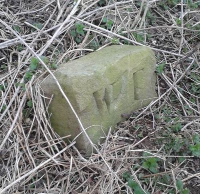
Boundary Stone At Ngr Se 871539, boundary marker in Warter, East Riding of Yorkshire, UK
Posizione: Warter
Parte di: political border
Coordinate GPS: 53.97432,-0.67337
Ultimo aggiornamento: 2 marzo 2025 alle 21:16
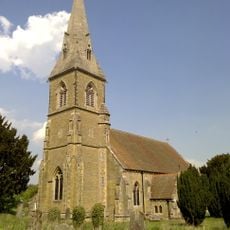
St James' Church, Warter
3.5 km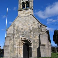
Church of Saint Giles
8.4 km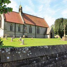
Church of Saint Mary
7.7 km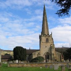
Church of St Edith
7.4 km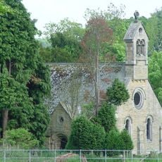
Church of St. Helen
6.1 km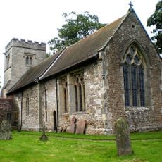
Church of Saint James
6.6 km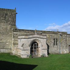
Church of St Mary
5.3 km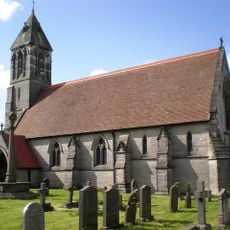
Church of St Mary
7.1 km
Church of St. Mary
1.9 km
Church of Saint Ethelburgh
5.8 km
Church of St Nicholas
8 km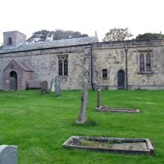
Church of St Margaret
4.6 km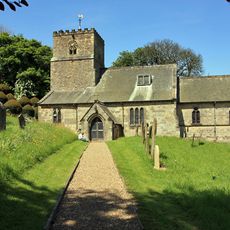
Church of All Saints
7.8 km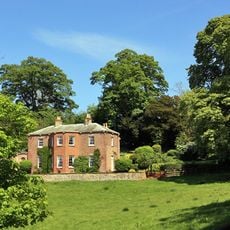
Painsthorpe Hall
7.3 km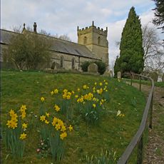
Church of All Saints
6.6 km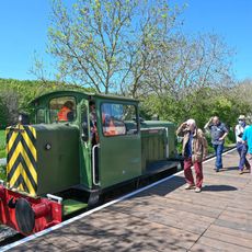
Yorkshire Wolds Railway
7.9 km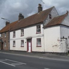
Woods Farmhouse
8.1 km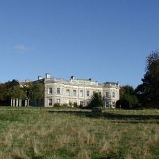
Kilnwick Percy Hall
6.1 km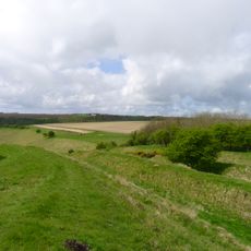
Sections of single and multiple linear boundary dykes on Huggate Pasture and Frendal Dale
2.2 km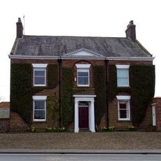
Wetwang House
8.1 km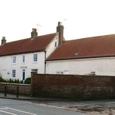
Manor Farmhouse
8.1 km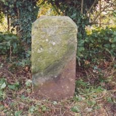
Milestone About 155 Metres West Of Brickyard Cottages
4.3 km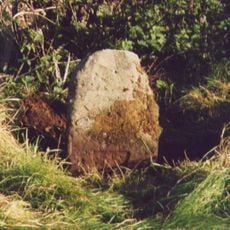
Milestone, W of entrance to Fimber Field Farm
6.1 km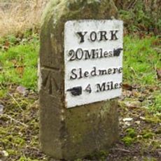
Milestone, E end of Fimber village
7.2 km
Milestone, just N of Middleton on the Wolds
8 km
Milestone, entrance to Wold House Farm (east entrance)
3.9 km
Milestone, ¾mile from Fridaythorpe on Fimber Road
5.8 km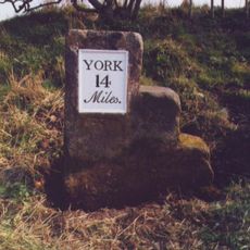
Milestone, 100m E of the Crucification memorial
7.2 kmRecensioni
Ha visitato questo luogo? Tocchi le stelle per valutarlo e condividere la Sua esperienza o foto con la community! Provalo ora! Puoi annullarlo in qualsiasi momento.
Scopri tesori nascosti ad ogni viaggio!
Da piccoli caffè caratteristici a panorami nascosti, fuggi dalla folla e scova i posti che fanno davvero per te. La nostra app ti semplifica tutto: ricerca vocale, filtri furbi, percorsi ottimizzati e dritte autentiche da viaggiatori di tutto il mondo. Scaricala subito per vivere l'avventura sul tuo smartphone!

Un nuovo approccio alla scoperta turistica❞
— Le Figaro
Tutti i luoghi che meritano di essere esplorati❞
— France Info
Un’escursione su misura in pochi clic❞
— 20 Minutes