
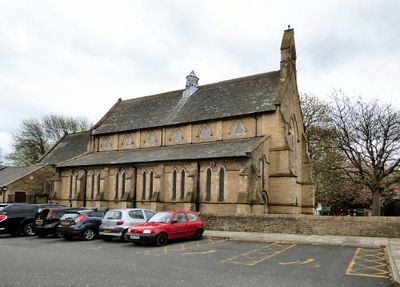
Church of St Mary, church in Droylsden, Greater Manchester, England, UK
Posizione: Tameside
Coordinate GPS: 53.47989,-2.14326
Ultimo aggiornamento: 19 marzo 2025 alle 05:36
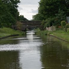
Macclesfield Canal
2.9 km
Clayton Hall
2.4 km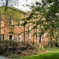
Fairfield Moravian Church
676 m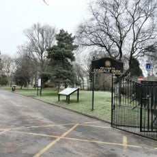
Debdale Park
2.5 km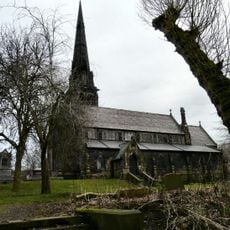
Brookfield Unitarian Church
2.8 km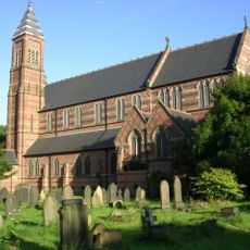
Church of St Cross, Clayton
2.6 km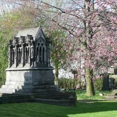
Peacock Mausoleum
2.8 km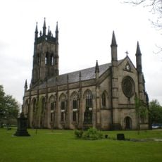
St Peter's Church, Ashton-under-Lyne
2.5 km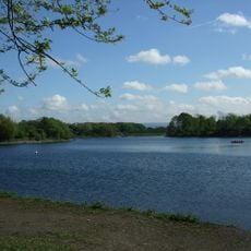
Gorton Reservoirs
2.3 km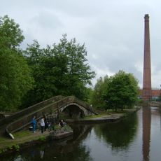
Junction Mills, Ashton-under-Lyne
2.8 km
The Plough, Gorton
2.8 km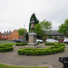
Hugh Mason Memorial Statue
2.8 km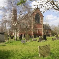
Roman Catholic Church of St Willibrords
2.3 km
Holy Trinity Church
2.8 km
Church of St Stephen
1.9 km
Clayton Hall
2.5 km
Church of St James
2.6 km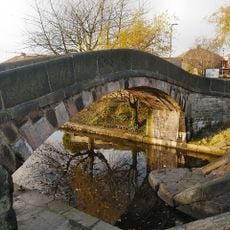
Manchester And Ashton Under Lyne Canal Bridge Number 16
573 m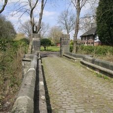
Bridge Over Moat To Clayton Hall
2.5 km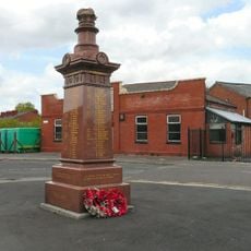
Gorton and Abbey Hey War Memorial
1.9 km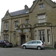
Ryecroft Hall
915 m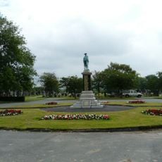
Audenshaw War Memorial
2.7 km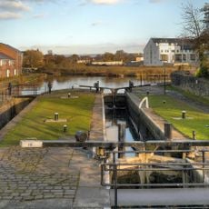
Manchester And Ashton Under Lyne Canal Lock Number 18 (Fairfield Top Lock)
548 m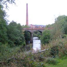
Park Parade Railway Viaduct, Western Crossing of River Tame
2.9 km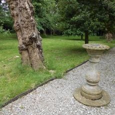
Sundial In Burial Ground South Of Church
712 m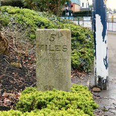
Milestone, Manchester Road; W of junction A6140
1.3 km
Ashton Canal Lock Number 9 Immediately East Of Clayton Lane Bridge
2.7 km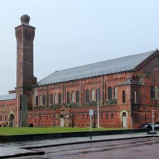
Former Municipal Baths
2.8 kmRecensioni
Ha visitato questo luogo? Tocchi le stelle per valutarlo e condividere la Sua esperienza o foto con la community! Provalo ora! Puoi annullarlo in qualsiasi momento.
Scopri tesori nascosti ad ogni viaggio!
Da piccoli caffè caratteristici a panorami nascosti, fuggi dalla folla e scova i posti che fanno davvero per te. La nostra app ti semplifica tutto: ricerca vocale, filtri furbi, percorsi ottimizzati e dritte autentiche da viaggiatori di tutto il mondo. Scaricala subito per vivere l'avventura sul tuo smartphone!

Un nuovo approccio alla scoperta turistica❞
— Le Figaro
Tutti i luoghi che meritano di essere esplorati❞
— France Info
Un’escursione su misura in pochi clic❞
— 20 Minutes