
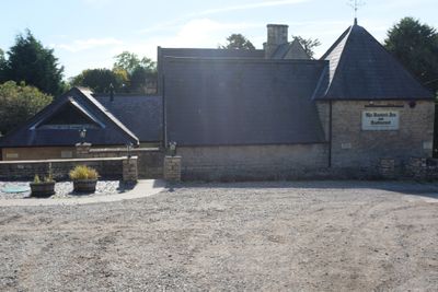
Former Brewhouse And Stables To Bustard Inn
Former Brewhouse And Stables To Bustard Inn, architectural structure in South Rauceby, North Kesteven, Lincolnshire, UK
Posizione: South Rauceby
Coordinate GPS: 52.99803,-0.47311
Ultimo aggiornamento: 4 marzo 2025 alle 11:51
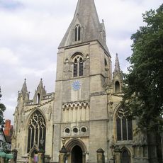
St Denys' Church, Sleaford
4.3 km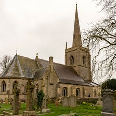
St Botolph's Church
3.1 km
Sleaford Castle
3.9 km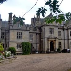
South Rauceby Hall
400 m
Manor House
4.2 km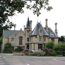
Westholme House
3.9 km
The Packhorse Inn
4.2 km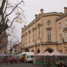
Town Hall (Sessions House)
4.2 km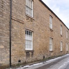
Playhouse, Sleaford
4 km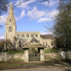
Church of St Peter, North Rauceby
949 m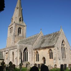
Church of St Andrew
4.3 km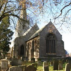
Parish Church of St Denys, Silk Willoughby
4.1 km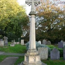
North Rauceby War Memorial
934 m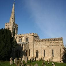
Church of St Mary
3.2 km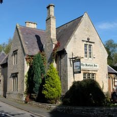
The Bustard Inn
14 m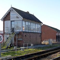
Sleaford East Signal Box
4.3 km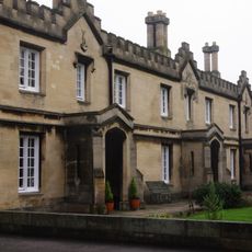
Carre's Hospital. Pump And Sun-dial In The Forecourt And Wall Along Carre Street
4.3 km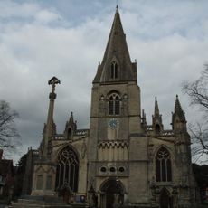
Sleaford, Quarrington and Holdingham War Memorial
4.3 km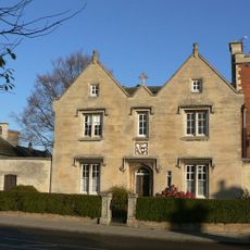
40 Northgate
4.2 km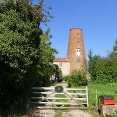
70, Main Street
171 m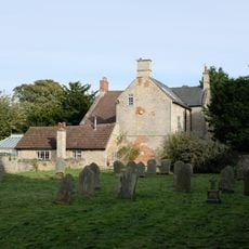
The Old Vicarage
959 m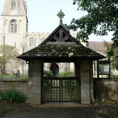
Lych Gate to Church of St Peter
920 m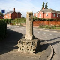
Silk Willoughby village cross
4.1 km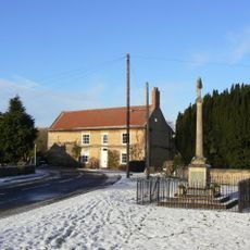
Leasingham War Memorial
4.2 km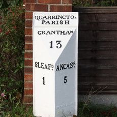
Milepost, Grantham Road, Quarrington, by No. 236
3 km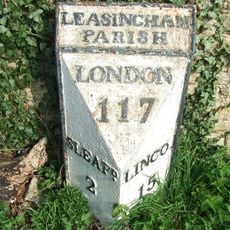
Milepost 3 Metres South Of Hall Farmhouse
4.2 km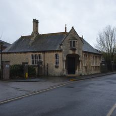
Schoolroom Annexe To Kesteven And Sleaford High School
4.2 km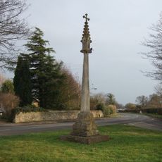
North Rauceby village cross
858 mRecensioni
Ha visitato questo luogo? Tocchi le stelle per valutarlo e condividere la Sua esperienza o foto con la community! Provalo ora! Puoi annullarlo in qualsiasi momento.
Scopri tesori nascosti ad ogni viaggio!
Da piccoli caffè caratteristici a panorami nascosti, fuggi dalla folla e scova i posti che fanno davvero per te. La nostra app ti semplifica tutto: ricerca vocale, filtri furbi, percorsi ottimizzati e dritte autentiche da viaggiatori di tutto il mondo. Scaricala subito per vivere l'avventura sul tuo smartphone!

Un nuovo approccio alla scoperta turistica❞
— Le Figaro
Tutti i luoghi che meritano di essere esplorati❞
— France Info
Un’escursione su misura in pochi clic❞
— 20 Minutes