
Pigeonhouse Farm, agricultural structure in Reigate and Banstead, Surrey, UK
Posizione: Reigate and Banstead
Coordinate GPS: 51.28467,-0.18640
Ultimo aggiornamento: 29 marzo 2025 alle 00:20
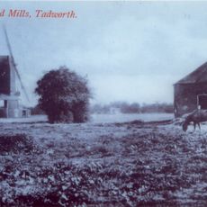
New Mill
2.9 km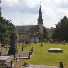
St Andrew's Church
2.8 km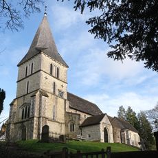
Church of St Katharine, Merstham
3 km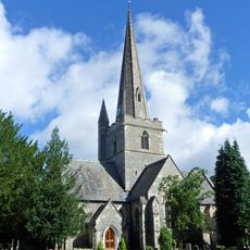
Church of St Andrew
2.3 km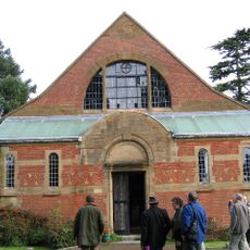
Church of Jesus Christ and the Wisdom of God
2.5 km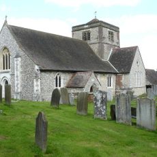
Church of St Margaret, Hooley
2 km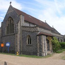
St Mary's
3.3 km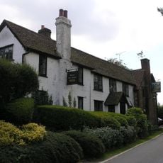
Well House Inn
770 m
Church of the Good Shepherd
3.5 km
Kingswood and Tadworth War Memorial
2.4 km
Coal Tax Post 100 Yards South Of The Sportsman Public House Ngr Tq 24005301
3.6 km
Chipstead War Memorial
1.9 km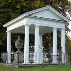
Gatton Town Hall
2.8 km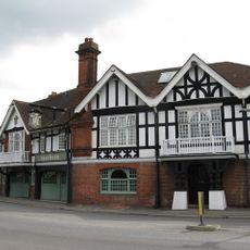
The Feathers Hotel
3.2 km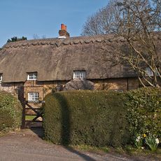
Thatched Cottage
2.1 km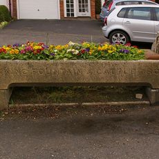
Drinking Fountain And Cattle Trough To East Of Nos 27 And 29
3.2 km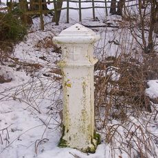
Coal Tax Post Opposite Wooden Cottage
2.3 km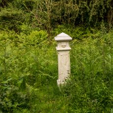
Coal Tax Post At Ngr Tq 23155456
3.5 km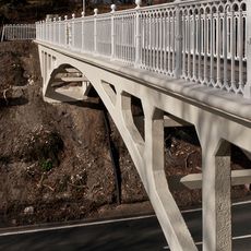
Reigate Hill Footbridge
3.2 km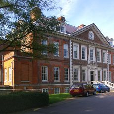
Tadworth Court
2.9 km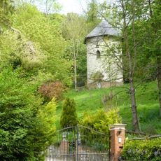
Dovecot In Grounds To North Of Wellhead
2.9 km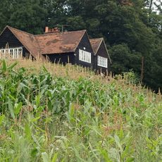
Hoath Farm House
2.3 km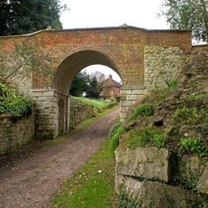
Viaduct
2.9 km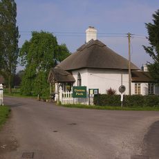
North Lodge, Including Fence And Gate
2.6 km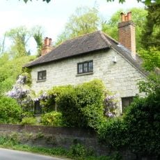
Wellhead
2.9 km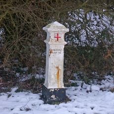
Coal Tax Post At Ngr Tq 23355415
3.5 km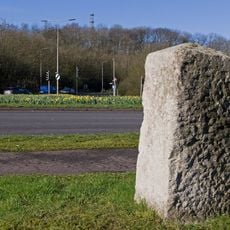
Milestone on Reigate Hill at intersection of M25 with A217 (Junction 8)
3.1 km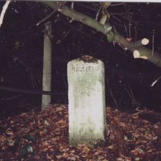
Milestone, Brighton Road, nr Tadworth Court
2.9 kmRecensioni
Ha visitato questo luogo? Tocchi le stelle per valutarlo e condividere la Sua esperienza o foto con la community! Provalo ora! Puoi annullarlo in qualsiasi momento.
Scopri tesori nascosti ad ogni viaggio!
Da piccoli caffè caratteristici a panorami nascosti, fuggi dalla folla e scova i posti che fanno davvero per te. La nostra app ti semplifica tutto: ricerca vocale, filtri furbi, percorsi ottimizzati e dritte autentiche da viaggiatori di tutto il mondo. Scaricala subito per vivere l'avventura sul tuo smartphone!

Un nuovo approccio alla scoperta turistica❞
— Le Figaro
Tutti i luoghi che meritano di essere esplorati❞
— France Info
Un’escursione su misura in pochi clic❞
— 20 Minutes