
49 And 51, High Street, building in Shrivenham, Vale of White Horse, Oxfordshire, UK
Posizione: Shrivenham
Coordinate GPS: 51.59809,-1.65610
Ultimo aggiornamento: 8 luglio 2025 alle 22:52
Beckett Hall
818 m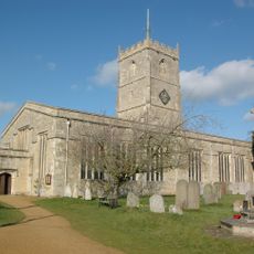
Church of St Andrew
265 m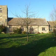
Church of St Mary
3.9 km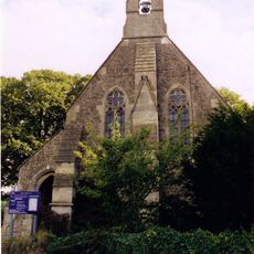
Church of St Thomas
1.6 km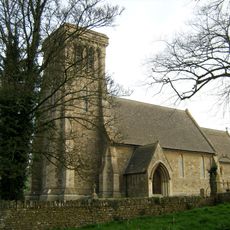
Church of St James
3.3 km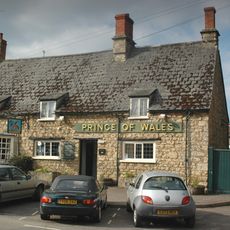
Prince Of Wales Public House
237 m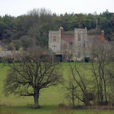
Strattenborough Castle
3.3 km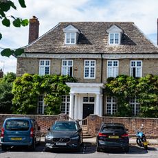
Elm Tree House
171 m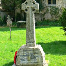
Longcot War Memorial
3.9 km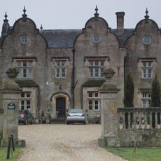
Bourton Grange
1.8 km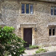
Sevenhampton House
3.4 km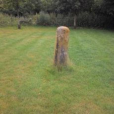
Milestone On Friars Hill
2.9 km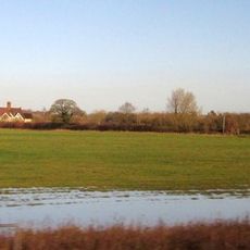
Cowleaze Farmhouse
1.1 km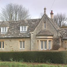
Barnacle Lodge
438 m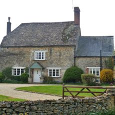
36, Sevenhampton
3.7 km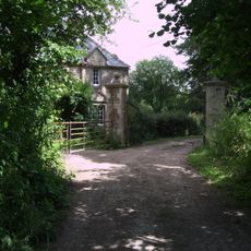
Waterloo Lodge
3.6 km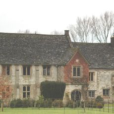
The Manor House
4.4 km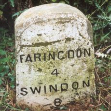
Milestone, Faringdon Road; just W of roundabout to Royal Military College of Science
2.2 km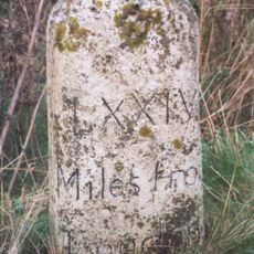
Milestone, by-pass slip lane on traffic island where old road goes towards RMCS
2.4 km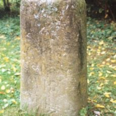
Milestone, Compton Beauchamp, opp. Post box
4.3 km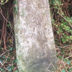
Milestone, Longcot Road; Home Farm, opp. second entrance to farm
1.8 km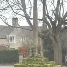
Bourton village cross
2 km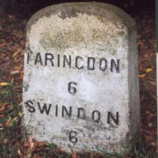
Milestone, Townsend Road; at entrance to Ryme's House
732 m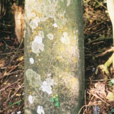
Milestone, hill above Westmill Farm
2.1 km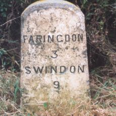
Milestone, Field Farm, between entrance & Longcot turn
3.8 km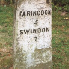
Milestone, Faringdon Road; Shrivenham Golf Club entrance
676 m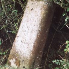
Milestone, Ruffinswick Farm, S of Railway
2.9 km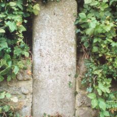
Milestone, Longcot Road; opp. Green Gables, just after roundabout
437 mRecensioni
Ha visitato questo luogo? Tocchi le stelle per valutarlo e condividere la Sua esperienza o foto con la community! Provalo ora! Puoi annullarlo in qualsiasi momento.
Scopri tesori nascosti ad ogni viaggio!
Da piccoli caffè caratteristici a panorami nascosti, fuggi dalla folla e scova i posti che fanno davvero per te. La nostra app ti semplifica tutto: ricerca vocale, filtri furbi, percorsi ottimizzati e dritte autentiche da viaggiatori di tutto il mondo. Scaricala subito per vivere l'avventura sul tuo smartphone!

Un nuovo approccio alla scoperta turistica❞
— Le Figaro
Tutti i luoghi che meritano di essere esplorati❞
— France Info
Un’escursione su misura in pochi clic❞
— 20 Minutes