
The Laurels, architectural structure in Castle Eaton, Swindon, Wiltshire, UK
Posizione: Castle Eaton
Coordinate GPS: 51.66093,-1.78979
Ultimo aggiornamento: 10 aprile 2025 alle 16:38
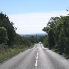
Ermin Street
4.3 km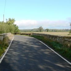
Hannington Bridge
2.8 km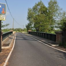
Castle Eaton Bridge
197 m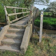
Eysey Footbridge
3.8 km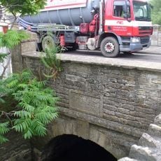
Cricklade Town Bridge
4.8 km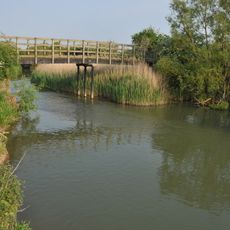
Water Eaton House Bridge
2.9 km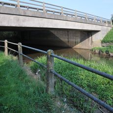
A419 Road Bridge
4.3 km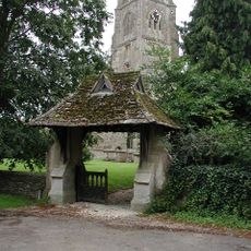
Church of St Mary the Virgin
1.6 km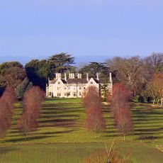
Hannington Hall
4.1 km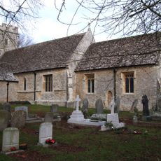
Church of St John the Baptist
4.6 km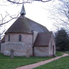
Church of St Anne
3.8 km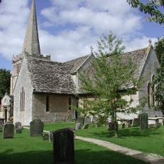
Church of All Saints
4.9 km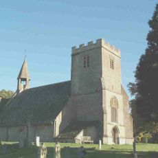
Parish Church of St Mary
152 m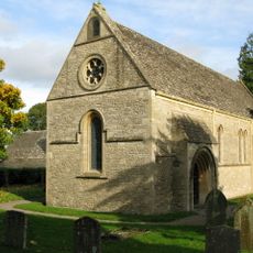
Church of St James
2.3 km
Roman Catholic Church of St Thomas of Canterbury
4.7 km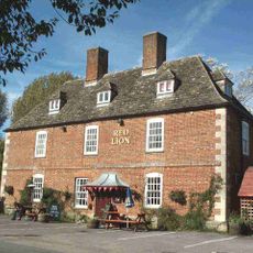
Red Lion Inn
115 m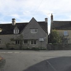
Bridge Cottage
141 m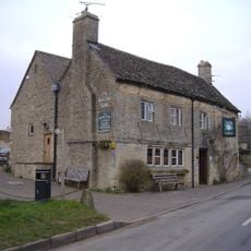
The Masons Arms
4.8 km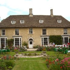
Kempsford Manor And West Wing
1.5 km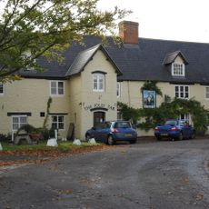
The Jolly Tar Public House
3.9 km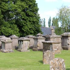
Group Of Ten Monuments About 5 Metres North Of Chancel In Churchyard Of Church Of St Mary The Virgin
1.7 km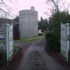
Round House
1.6 km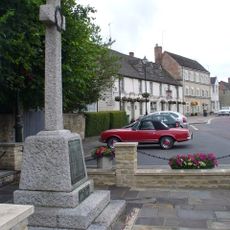
Cricklade War Memorial
4.9 km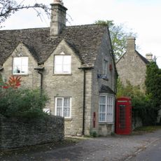
K6 Telephone Kiosk Outside Post Office, The Street
2.2 km
Wharf Farmhouse
4.8 km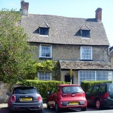
The Old Manor House
4.9 km
Presbytery Of Church Of St Thomas Of Canterbury
4.7 km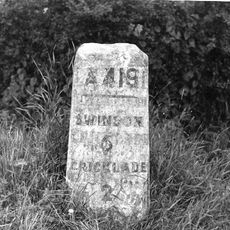
Milestone On Boundary With Cricklade Parish
4.3 kmRecensioni
Ha visitato questo luogo? Tocchi le stelle per valutarlo e condividere la Sua esperienza o foto con la community! Provalo ora! Puoi annullarlo in qualsiasi momento.
Scopri tesori nascosti ad ogni viaggio!
Da piccoli caffè caratteristici a panorami nascosti, fuggi dalla folla e scova i posti che fanno davvero per te. La nostra app ti semplifica tutto: ricerca vocale, filtri furbi, percorsi ottimizzati e dritte autentiche da viaggiatori di tutto il mondo. Scaricala subito per vivere l'avventura sul tuo smartphone!

Un nuovo approccio alla scoperta turistica❞
— Le Figaro
Tutti i luoghi che meritano di essere esplorati❞
— France Info
Un’escursione su misura in pochi clic❞
— 20 Minutes