
Church of St Hilda, church in Ashford, Surrey, TW15
Posizione: Spelthorne
Sito web: http://sthilda.org
Coordinate GPS: 51.43440,-0.47237
Ultimo aggiornamento: 14 marzo 2025 alle 04:42

Thames Water Ring Main
2.9 km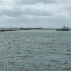
Queen Mary Reservoir
1.6 km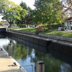
Penton Hook Lock
2.9 km
Church of St Mary
2.5 km
Staines Railway Bridge
2.7 km
Staines Town Hall
2.9 km
Roman Catholic Church of St Michael, Including Boundary Wall and Entrance Screen
705 m
Ashford War Memorial
741 m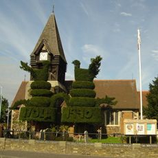
Church of St Mary
3 km
Church of St Peter
2.6 km
Parish Church of St Matthew
949 m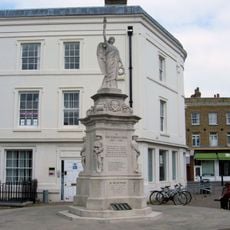
Staines War Memorial
2.9 km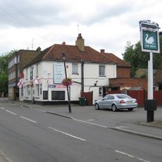
The Swan Public House
2.6 km
The Blue Anchor Public House
2.9 km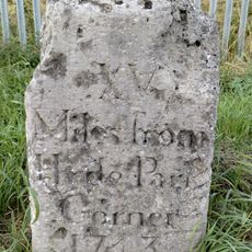
Milestone
935 m
Stanwell War Memorial
2.6 km
44, 46 And 48, High Street
2.7 km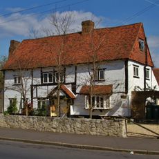
Perry Green
2.7 km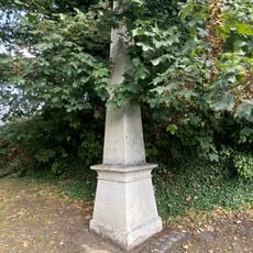
Obelisk To North Of Railway Bridge
2.7 km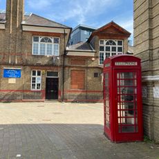
2 K6 Telephone Kiosks In Front Of Town Hall
2.9 km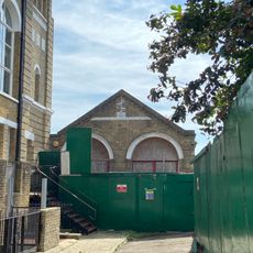
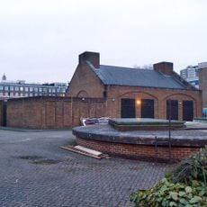
Fire Engine Shed
2.9 km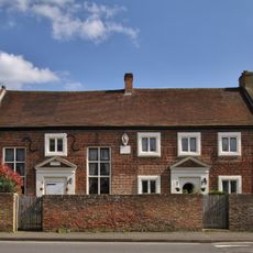
Lord Knyvett's Free School
2.7 km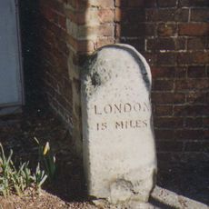
Milestone
2.6 km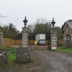
Gates Piers And Gates To Stanwell Place
2.8 km
2, Clarence Street
2.9 km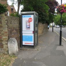
Milestone, High Street, opp. The Swan PH, W of jct with Oaks Road
2.6 km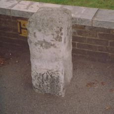
Milestone, Kingston Road, 6m W of Warwick Avenue
1.3 km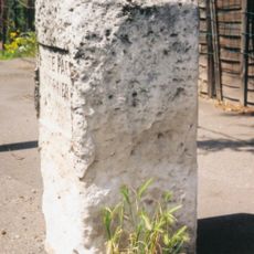
Milestone, Staines Road; Bedfont, by No. 778, 50m E of Ashford boundary
1.8 kmRecensioni
Ha visitato questo luogo? Tocchi le stelle per valutarlo e condividere la Sua esperienza o foto con la community! Provalo ora! Puoi annullarlo in qualsiasi momento.
Scopri tesori nascosti ad ogni viaggio!
Da piccoli caffè caratteristici a panorami nascosti, fuggi dalla folla e scova i posti che fanno davvero per te. La nostra app ti semplifica tutto: ricerca vocale, filtri furbi, percorsi ottimizzati e dritte autentiche da viaggiatori di tutto il mondo. Scaricala subito per vivere l'avventura sul tuo smartphone!

Un nuovo approccio alla scoperta turistica❞
— Le Figaro
Tutti i luoghi che meritano di essere esplorati❞
— France Info
Un’escursione su misura in pochi clic❞
— 20 Minutes