
Police Stables, stable in Newcastle upon Tyne, Tyne and Wear, UK
Posizione: Newcastle upon Tyne
Coordinate GPS: 54.99873,-1.60445
Ultimo aggiornamento: 25 marzo 2025 alle 03:02
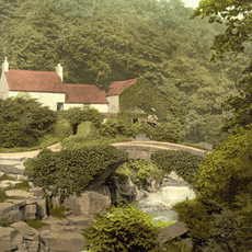
Jesmond Dene
296 m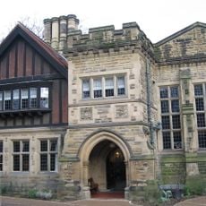
Jesmond Dene House
42 m
Banqueting House With Added Gatehouse And Other Extensions
920 m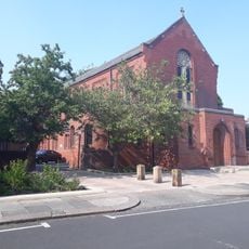
Holy Name parish, Jesmond
234 m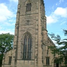
Church of All Saints
1.4 km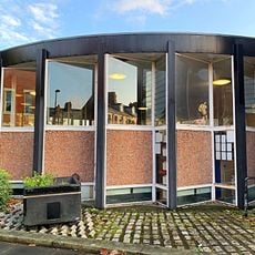
Jesmond Library
621 m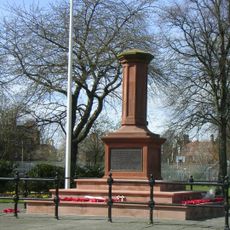
Gosforth Central Park
1.2 km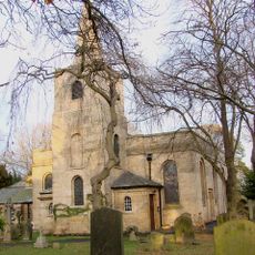
Church of St Nicholas
936 m
Church of the Holy Trinity
1.4 km
Jesmond Church Of St Hilda
748 m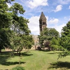
Church of St George
418 m
Roman Catholic Church of St Charles, Attached Presbytery and Boundary Wall to South and South West
1.3 km
Fleming Memorial Hospital
1.4 km
Sunday School Attached To Church Of St Hilda
751 m
St Mary's Chapel, Jesmond
859 m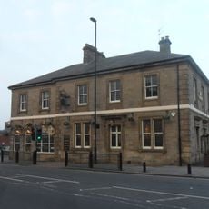
The County Hotel
1.1 km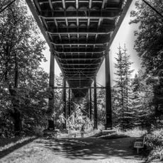
Armstrong Bridge
1.4 km
The Former Phillipson Memorial Orphanage At Princess Mary Maternity Hospital
1.3 km
Gosforth War Memorial Pillar
1.1 km
Town Moor Boundary Stone Opposite Number 73
504 m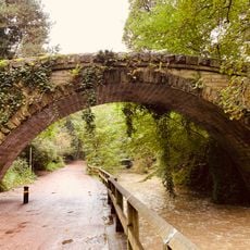
Footbridge North East Of Banqueting Hall
888 m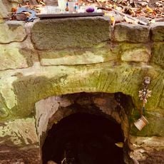
St Mary's Well
834 m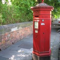
Pillar Box North Of Number 4
1.2 km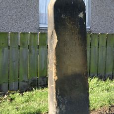
Main Dike Stone
1.1 km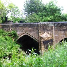
Salters' Bridge
1.3 km
High Heaton Library
1.2 km
Jesmond Dene Mill
336 m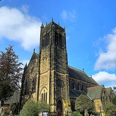
Jesmond United Reformed Church
1.4 kmRecensioni
Ha visitato questo luogo? Tocchi le stelle per valutarlo e condividere la Sua esperienza o foto con la community! Provalo ora! Puoi annullarlo in qualsiasi momento.
Scopri tesori nascosti ad ogni viaggio!
Da piccoli caffè caratteristici a panorami nascosti, fuggi dalla folla e scova i posti che fanno davvero per te. La nostra app ti semplifica tutto: ricerca vocale, filtri furbi, percorsi ottimizzati e dritte autentiche da viaggiatori di tutto il mondo. Scaricala subito per vivere l'avventura sul tuo smartphone!

Un nuovo approccio alla scoperta turistica❞
— Le Figaro
Tutti i luoghi che meritano di essere esplorati❞
— France Info
Un’escursione su misura in pochi clic❞
— 20 Minutes