
Monument In Abinger Rough At Tq 11064811
Monument In Abinger Rough At Tq 11064811, monument in Abinger, Mole Valley, Surrey, UK
Posizione: Abinger
Coordinate GPS: 51.22140,-0.41107
Ultimo aggiornamento: 30 aprile 2025 alle 02:02
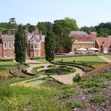
Wotton House
1.6 km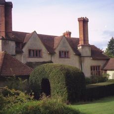
Goddards
2.8 km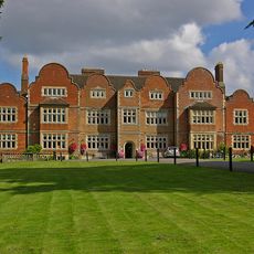
Milton Court
4.3 km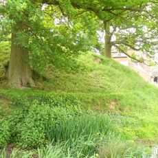
Abinger Castle
2.1 km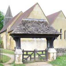
Church of St James
2.2 km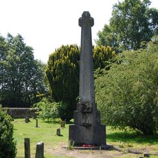
Abinger Common War Memorial
2.3 km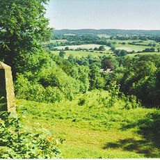
Netley Heath
2.5 km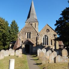
The Church of St James
3.6 km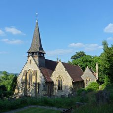
Church of the Holy Trinity
2.9 km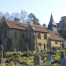
St Mary The Virgins Church
3.7 km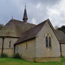
Church of St Mark
4.2 km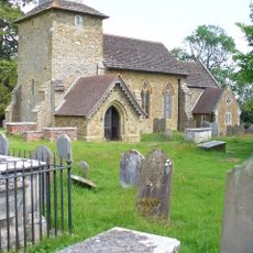
Church of St John the Evangelist
1.5 km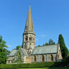
Church of St Barnabas, Ranmore
4.2 km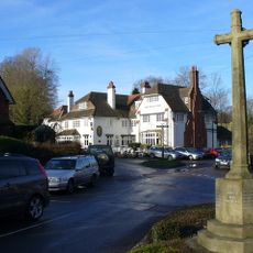
Peaslake War Memorial
4.1 km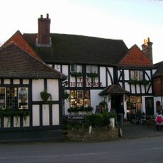
The White Horse Public House
3.8 km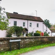
The Old Mill House
2.8 km
The Robertson War Memorial Obelisk, Netley Park
3.2 km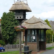
Lt B. B. Geake Memorial Dove Cote, Westcott, Surrey
3.1 km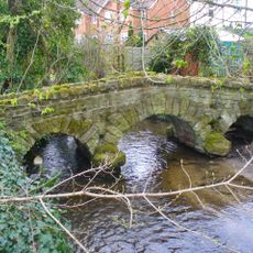
Gomshall Packhorse Bridge
2.6 km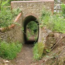
Briary Hill (East) Bridge
2.9 km
Lower Springfield Farmhouse
2.9 km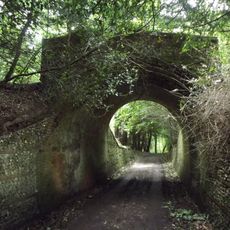
Hermitage Bridge
2.3 km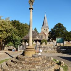
Shere War Memorial
3.7 km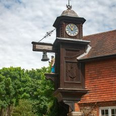
The Blacksmiths Clock The Clock House
1.6 km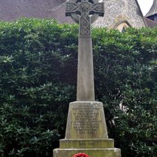
Westcott War Memorial, Surrey
2.9 km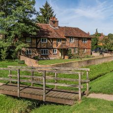
Crooked Acre
3.8 km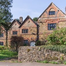
The Barracks
3 km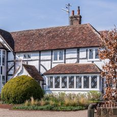
Kingscote
3 kmRecensioni
Ha visitato questo luogo? Tocchi le stelle per valutarlo e condividere la Sua esperienza o foto con la community! Provalo ora! Puoi annullarlo in qualsiasi momento.
Scopri tesori nascosti ad ogni viaggio!
Da piccoli caffè caratteristici a panorami nascosti, fuggi dalla folla e scova i posti che fanno davvero per te. La nostra app ti semplifica tutto: ricerca vocale, filtri furbi, percorsi ottimizzati e dritte autentiche da viaggiatori di tutto il mondo. Scaricala subito per vivere l'avventura sul tuo smartphone!

Un nuovo approccio alla scoperta turistica❞
— Le Figaro
Tutti i luoghi che meritano di essere esplorati❞
— France Info
Un’escursione su misura in pochi clic❞
— 20 Minutes