
Wall To South Of Church Of St Nicholas, wall in Peper Harow, Waverley, Surrey, UK
Posizione: Peper Harow
Coordinate GPS: 51.18792,-0.66405
Ultimo aggiornamento: 17 maggio 2025 alle 14:12
Church of St Mary
1 km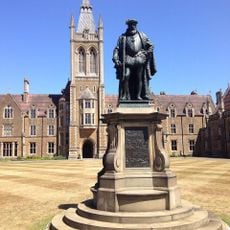
Statue of Thomas Sutton
3 km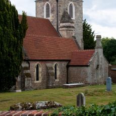
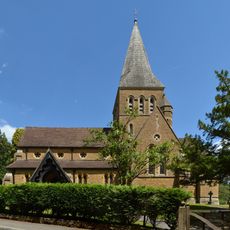
Church of St Nicholas
31 m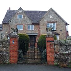
Rodsall Manor House
2.2 km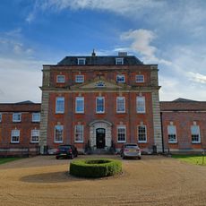
Milford House Hotel
2.4 km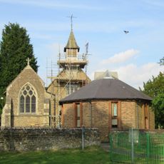
St John the Evangelist's Church
2.4 km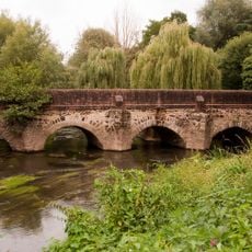
Elstead Bridge
2.9 km
Dovecot In The Grounds Of The Refectory
2.5 km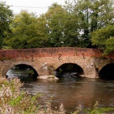
Somerset Bridge
1.3 km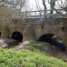
Eashing Bridges
1.2 km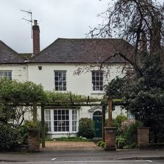
The Red House
2.4 km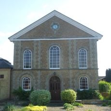
United Reformed Church and Attached Graveyard Wall with Gatepiers and Railings
2.5 km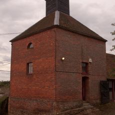
Dovecot And Granary To South West Of Home Farm Courtyard
122 m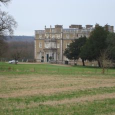
Peper Harow House
154 m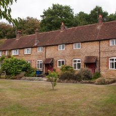
Home Farm Cottages With Stables To Left And Buildings To East
166 m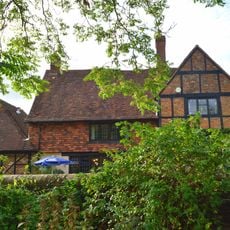
British Legion Clubhouse
2.9 km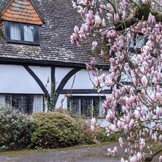
The Square
2.4 km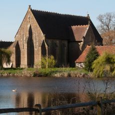
Barn At Oxenford Grange
851 m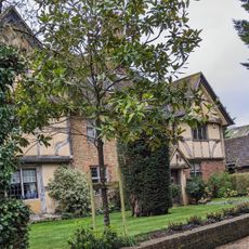
Old Hurst
2.4 km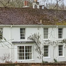
The Old House
2.4 km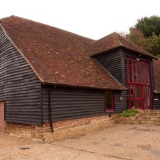
Barn To North West Corner Of Home Farm Courtyard
177 m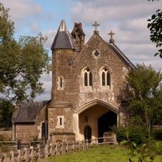
Oxenford Gate Lodge
845 m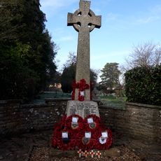
Elstead War Memorial
3 km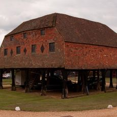
Granary At Home Farm
142 m
Milestone, Petworth Road, jct with Oxted Green, Milford, in lay-by
3 km
Milestone, Cranhurst, Milford, nr cemetery
2.8 km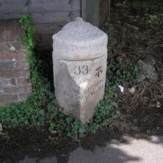
Milestone, Portsmouth Road, opp The Refectory PH
2.4 km
Milestone, Portsmouth Road, Milford, southbound sliproad, W of the entrance to Rodborough Common car park
2.4 kmRecensioni
Ha visitato questo luogo? Tocchi le stelle per valutarlo e condividere la Sua esperienza o foto con la community! Provalo ora! Puoi annullarlo in qualsiasi momento.
Scopri tesori nascosti ad ogni viaggio!
Da piccoli caffè caratteristici a panorami nascosti, fuggi dalla folla e scova i posti che fanno davvero per te. La nostra app ti semplifica tutto: ricerca vocale, filtri furbi, percorsi ottimizzati e dritte autentiche da viaggiatori di tutto il mondo. Scaricala subito per vivere l'avventura sul tuo smartphone!

Un nuovo approccio alla scoperta turistica❞
— Le Figaro
Tutti i luoghi che meritano di essere esplorati❞
— France Info
Un’escursione su misura in pochi clic❞
— 20 Minutes