
Laurel Tree Farm, agricultural structure in Rotherfield, Wealden, East Sussex, UK
Posizione: Rotherfield
Coordinate GPS: 51.07437,0.19095
Ultimo aggiornamento: 26 marzo 2025 alle 00:36
Eridge Park
4.5 km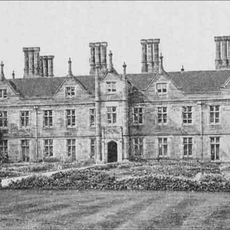
Buckhurst Park
4.1 km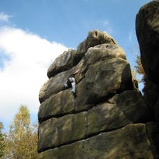
Harrison's Rocks
2.7 km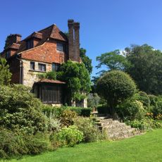
Luxford House
3.6 km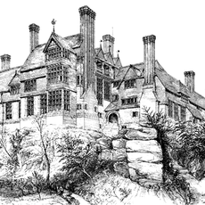
Leyswood
2.4 km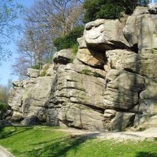
Bowles Rocks
656 m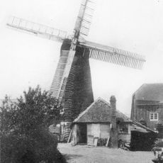
Pratt's Mill, Crowborough
2.5 km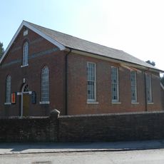
Rehoboth Chapel, Jarvis Brook
3.7 km
Crowborough Community Church
2.6 km
Crowborough Country Park
3 km
Holy Trinity Church, Eridge Green
3.5 km
The Parish Church of St Denys
3.7 km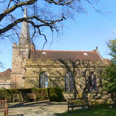
The Parish Church of All Saints
2.8 km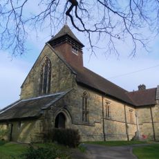
Church of St Thomas the Apostle
4.1 km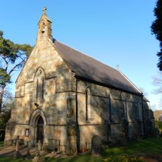
St John's Church
3.4 km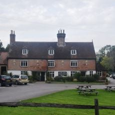
The Nevill Crest And Gun Hotel
3.7 km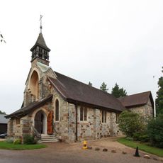
St Michael & All Angels
3.1 km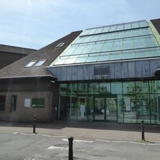
Crowborough Library
2.9 km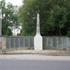
Crowborough War Memorial
2.8 km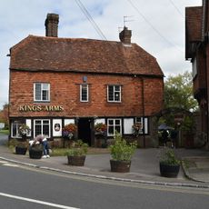
The King's Arms Public House
3.8 km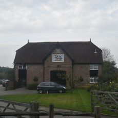
The Stables To The North East Of The Neville Crest And Gun Hotel
3.7 km
Medieval moated site with adjacent late medieval Pondbay, Walsh Manor, Crowborough
4.4 km
Whitehouse Farmhouse
3.4 km
Renby Farmhouse Eridge Station
1.7 km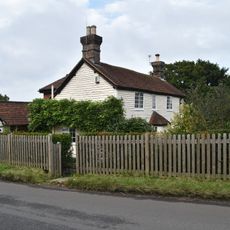
Boxgate Farmhouse
3.2 km
Morrisons
2.8 km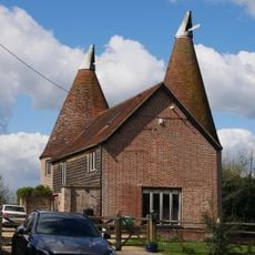
The Oasthouse
1.7 km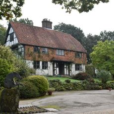
Friar's Gate Farmhouse
3.5 kmRecensioni
Ha visitato questo luogo? Tocchi le stelle per valutarlo e condividere la Sua esperienza o foto con la community! Provalo ora! Puoi annullarlo in qualsiasi momento.
Scopri tesori nascosti ad ogni viaggio!
Da piccoli caffè caratteristici a panorami nascosti, fuggi dalla folla e scova i posti che fanno davvero per te. La nostra app ti semplifica tutto: ricerca vocale, filtri furbi, percorsi ottimizzati e dritte autentiche da viaggiatori di tutto il mondo. Scaricala subito per vivere l'avventura sul tuo smartphone!

Un nuovo approccio alla scoperta turistica❞
— Le Figaro
Tutti i luoghi che meritano di essere esplorati❞
— France Info
Un’escursione su misura in pochi clic❞
— 20 Minutes