
Wery Wall, wall in Lancaster, Lancashire, UK
Posizione: Lancaster
Parte di: Part of a Roman fort and its associated vicus and remains of a pre-Conquest monastery and a Benedictine priory on Castle Hill, Lancaster Roman Fort
Coordinate GPS: 54.05147,-2.80352
Ultimo aggiornamento: 1 maggio 2025 alle 07:46


Lancaster Priory
228 m
Judges' Lodgings
142 m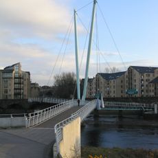
Lune Millennium Bridge
135 m
Lancaster Priory
152 m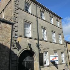
Church House
129 m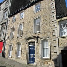
100, Church Street
131 m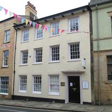
73, Church Street
176 m
69 and 71, Church Street
179 m
98, Church Street
131 m
78 and 80, Church Street
149 m
1 Castle Hill
176 m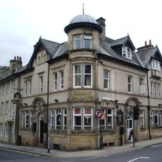
Duke Of Lancaster Public House
172 m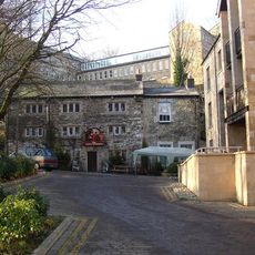
The Three Mariners Public House
53 m
Rawlinson Memorial, approximately 13 metres north of tower of Church of St Mary
172 m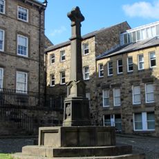
Covell Cross
153 m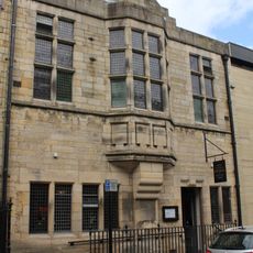
Former Masonic Hall
170 m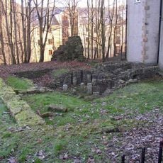
Part of a Roman fort and its associated vicus and remains of a pre-Conquest monastery and a Benedictine priory on Castle Hill
134 m
1 and 3, Cable Street
139 m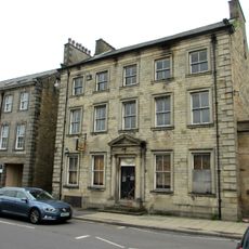
5, Cable Street
156 m
Pye's Building
150 m
15 And 19, St Marys Parade
173 m
1A Castle Hill
174 m
1-9, St Marys Parade
150 m
Church Steps
151 m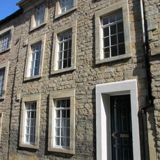
2, Castle Hill
171 m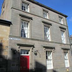
Greycourt
127 m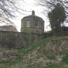
Garden House Behind Number 2, Greycourt
42 m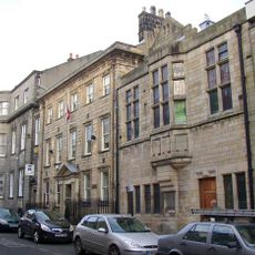
Conservative Club and attached railings
163 mRecensioni
Ha visitato questo luogo? Tocchi le stelle per valutarlo e condividere la Sua esperienza o foto con la community! Provalo ora! Puoi annullarlo in qualsiasi momento.
Scopri tesori nascosti ad ogni viaggio!
Da piccoli caffè caratteristici a panorami nascosti, fuggi dalla folla e scova i posti che fanno davvero per te. La nostra app ti semplifica tutto: ricerca vocale, filtri furbi, percorsi ottimizzati e dritte autentiche da viaggiatori di tutto il mondo. Scaricala subito per vivere l'avventura sul tuo smartphone!

Un nuovo approccio alla scoperta turistica❞
— Le Figaro
Tutti i luoghi che meritano di essere esplorati❞
— France Info
Un’escursione su misura in pochi clic❞
— 20 Minutes