
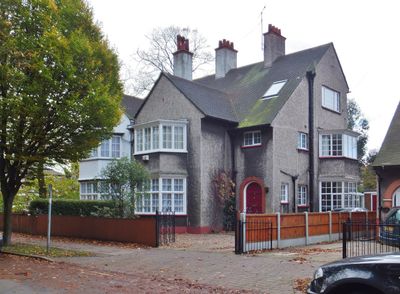
1 and 3, Village Road, building in City of Kingston upon Hull, East Riding of Yorkshire, UK
Posizione: City of Kingston upon Hull
Coordinate GPS: 53.75737,-0.30867
Ultimo aggiornamento: 3 marzo 2025 alle 01:48
East Park
1.1 km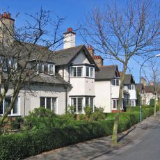
The Garden Village, Kingston upon Hull
410 m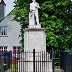
Statue of James Stuart
20 m
Sculcoates Bridge
1.4 km
Windmill Public House
1.4 km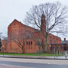
St Columba's Church
261 m
67 And 69, Village Road
278 m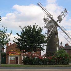
Windmill At The Mill Public House
897 m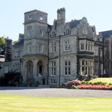
Holderness House
169 m
11 And 12, The Oval
418 m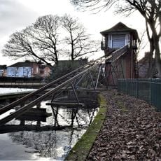
Water Chute On The Boating Lake In East Park
1.1 km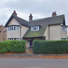
81 Village Road
308 m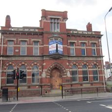
James Reckitt Library
1 km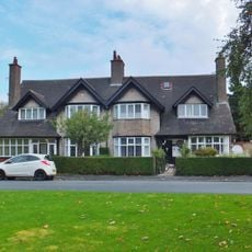
9 And 10, The Oval
450 m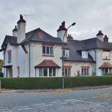
1 and 2, the Oval
548 m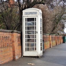
K6 Telephone Kiosk Adjoining Boundary Wall At Ferens Havens
1.1 km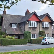
3 And 4, The Oval
526 m
7 And 8, The Oval
481 m
15 And 16, The Oval
370 m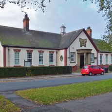
Former Garden Village Club House
530 m
71, Village Road
304 m
13 And 14, The Oval
398 m
North Lodge
271 m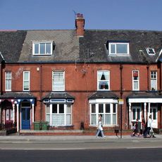
Nos 365-371 Holderness Road
52 m
5 And 6, The Oval
505 m
Garden Village Shopping Centre
456 m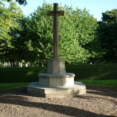
Hedon Road Cemetery Cross of Sacrifice, Kingston upon Hull
1.4 km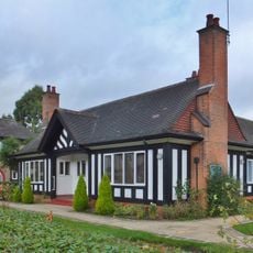
Frederick Reckitt Havens
340 mRecensioni
Ha visitato questo luogo? Tocchi le stelle per valutarlo e condividere la Sua esperienza o foto con la community! Provalo ora! Puoi annullarlo in qualsiasi momento.
Scopri tesori nascosti ad ogni viaggio!
Da piccoli caffè caratteristici a panorami nascosti, fuggi dalla folla e scova i posti che fanno davvero per te. La nostra app ti semplifica tutto: ricerca vocale, filtri furbi, percorsi ottimizzati e dritte autentiche da viaggiatori di tutto il mondo. Scaricala subito per vivere l'avventura sul tuo smartphone!

Un nuovo approccio alla scoperta turistica❞
— Le Figaro
Tutti i luoghi che meritano di essere esplorati❞
— France Info
Un’escursione su misura in pochi clic❞
— 20 Minutes