
56 And 58, Dyer Street, building in Cirencester, Cotswold, Gloucestershire, UK
Posizione: Cirencester
Coordinate GPS: 51.71621,-1.96434
Ultimo aggiornamento: 24 aprile 2025 alle 02:38
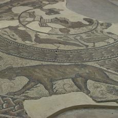
Corinium Dobunnorum
181 m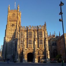
Church of St. John the Baptist, Cirencester
296 m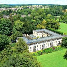
Abbey House, Cirencester
332 m
Cirencester Castle
410 m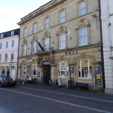
Corn Hall Buildings
200 m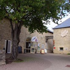
New Brewery Arts
290 m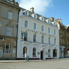
Kings Head Hotel
218 m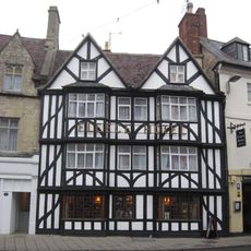
Fleece Hotel
162 m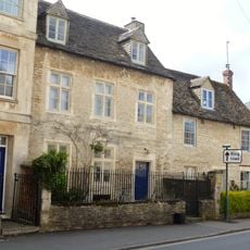
Chester Villa
214 m
Cirencester War Memorial
282 m
Numbers 6 And 8 And Attached Stable Cottage
412 m
Bingham Library
138 m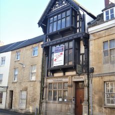
74 Dyer Street (former offices of the Wiltshire and Gloucestershire Standard)
80 m
1, Querns Lane
305 m
2 And 4, West Market Place
308 m
12 And 12A, Cricklade Street
263 m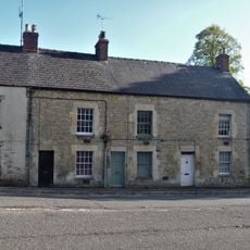
6, 8 And 10, London Road
307 m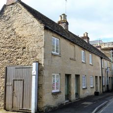
7, 9 And 11, Querns Lane
343 m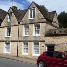
Number 2 And Associated Small Section Of Abbey Wall
395 m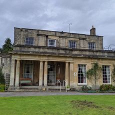
Watermoor House
394 m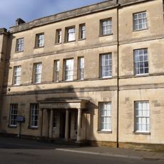
3 And 5, Dyer Street
116 m
Oxford House
183 m
4, Dollar Street
403 m
12 And 14, Market Place
236 m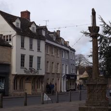
3, Gosditch Street
339 m
Lloyd's Bank
379 m
17 And 19, Gosditch Street
393 m
Numbers 11 And 11A And Attached Railings
365 mRecensioni
Ha visitato questo luogo? Tocchi le stelle per valutarlo e condividere la Sua esperienza o foto con la community! Provalo ora! Puoi annullarlo in qualsiasi momento.
Scopri tesori nascosti ad ogni viaggio!
Da piccoli caffè caratteristici a panorami nascosti, fuggi dalla folla e scova i posti che fanno davvero per te. La nostra app ti semplifica tutto: ricerca vocale, filtri furbi, percorsi ottimizzati e dritte autentiche da viaggiatori di tutto il mondo. Scaricala subito per vivere l'avventura sul tuo smartphone!

Un nuovo approccio alla scoperta turistica❞
— Le Figaro
Tutti i luoghi che meritano di essere esplorati❞
— France Info
Un’escursione su misura in pochi clic❞
— 20 Minutes