
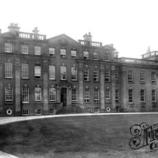
Clod Hall, house in Loggerheads, Newcastle-under-Lyme, Staffordshire, UK
Posizione: Loggerheads
Coordinate GPS: 52.91078,-2.45591
Ultimo aggiornamento: 10 aprile 2025 alle 19:38

Buntingsdale Hall
4.6 km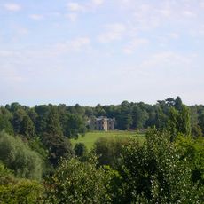
Pell Wall Hall
2.3 km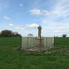
Audley's Cross
2 km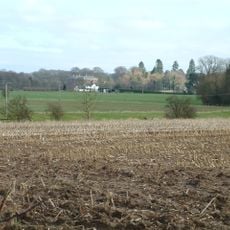
Oakley Hall
2.2 km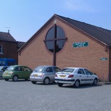
Market Drayton Methodist Church
2.5 km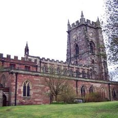
Church of Saint Mary
2 km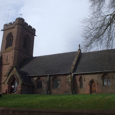
Church of St Mary
2.1 km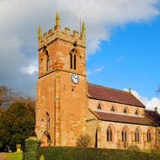
Church of Saint Chad
3.9 km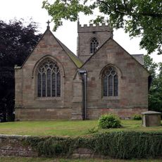
Church of St Mary
4 km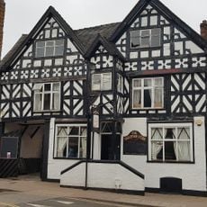
Star Hotel
1.9 km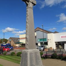
Market Drayton Memorial Cross
2.1 km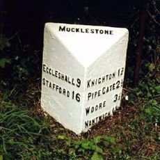
Milepost At Ngr Sj 7258 3738
4 km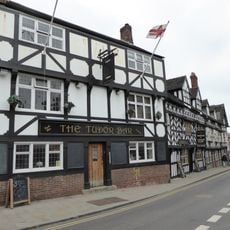
The Sandbrook Vaults
2.1 km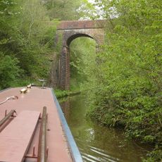
Shropshire Union Canal Bridge Number 58
3.4 km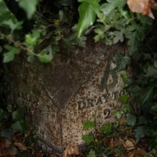
Milepost approximately 25 metres to south west of Fordhill Cottages
4.9 km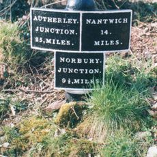
Shropshire Union Canal Direction Post About 115 Metres South East Of Bridge Number 59
2.8 km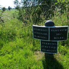
Milepost Approximately 170 Metres To South Of Bridge Number 67
3.8 km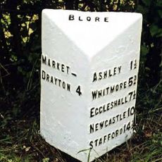
Milepost At Ngr Sj 7370 3586
4.3 km
Milepost At Ngr Sj 7322 3644
4 km
Milepost Approximately 1040 Metres To South Of Bridge Number 66
2.7 km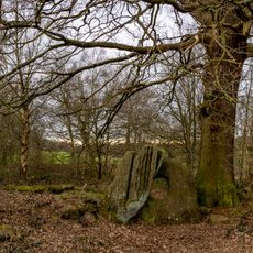
The Devil's Ring and Finger
3.1 km
Hales Roman Villa
3 km
The Butter Market
2.1 km
27, Shropshire Street
2.1 km
Shropshire Union Canal Milepost Circa 160 Metres South Of Bridge Number 61 At Sj 685 335
1.6 km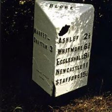
Milepost At Ngr Sj 7214 3566
2.8 km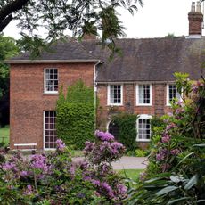
Old Rectory
4 km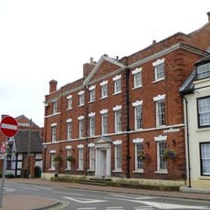
The Red House
2.1 kmRecensioni
Ha visitato questo luogo? Tocchi le stelle per valutarlo e condividere la Sua esperienza o foto con la community! Provalo ora! Puoi annullarlo in qualsiasi momento.
Scopri tesori nascosti ad ogni viaggio!
Da piccoli caffè caratteristici a panorami nascosti, fuggi dalla folla e scova i posti che fanno davvero per te. La nostra app ti semplifica tutto: ricerca vocale, filtri furbi, percorsi ottimizzati e dritte autentiche da viaggiatori di tutto il mondo. Scaricala subito per vivere l'avventura sul tuo smartphone!

Un nuovo approccio alla scoperta turistica❞
— Le Figaro
Tutti i luoghi che meritano di essere esplorati❞
— France Info
Un’escursione su misura in pochi clic❞
— 20 Minutes