
49 And 50, High Street East, building in Sunderland, Tyne and Wear, UK
Posizione: Sunderland
Coordinate GPS: 54.90896,-1.37090
Ultimo aggiornamento: 12 marzo 2025 alle 02:12
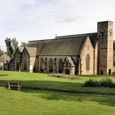
Abbazia di Monkwearmouth-Jarrow
638 m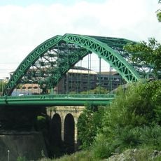
Wearmouth Bridge
769 m
St Peter's Church
527 m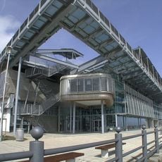
National Glass Centre
439 m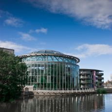
Sunderland Museum and Winter Gardens
809 m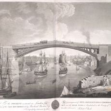
Wearmouth Bridge
769 m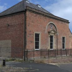
Phoenix Hall
122 m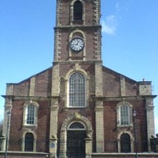
Holy Trinity Church, Sunderland
185 m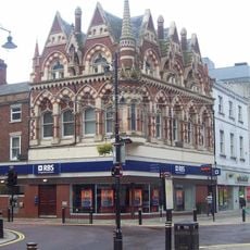
Elephant Tea Rooms
739 m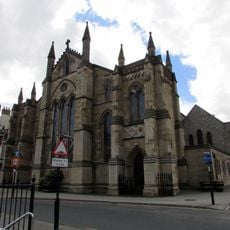
St Mary's Church, Sunderland
760 m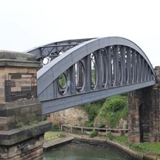
Monkwearmouth Bridge
812 m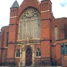
St Benet's Church, Sunderland
722 m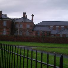
Sunderland Orphan Asylum
364 m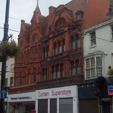
Corder House and Sydenham House
739 m
Hawksley House
757 m
Glass Centre, Sunderland, UK
404 m
10, Church Street East
73 m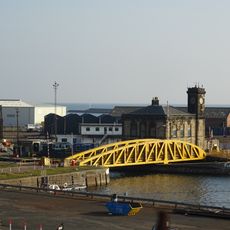
Swing Bridge, Lock And Walls Of North End Of Dock
699 m
Post Office And Railings
536 m
Empire Cinema
637 m
The Bridge Hotel
385 m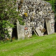
Retaining Wall To East Of Former Graveyard Of St Peter
545 m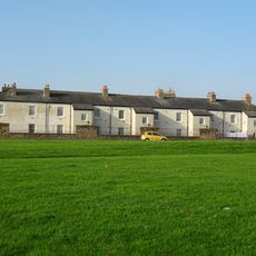
Trafalgar Square Merchant Seamen's Almshouses
290 m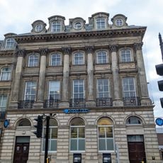
Barclays Bank
769 m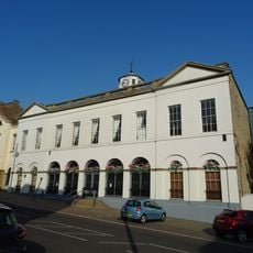
Sunderland Exchange
203 m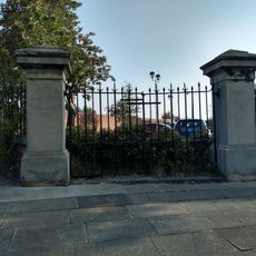
Gates, Piers And Railings To Former Sunderland Orphange
374 m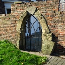
Medieval Arch In Wall To West Of Public Gardens
576 m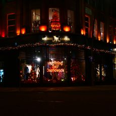
101, 102 And 103, High Street West
711 mRecensioni
Ha visitato questo luogo? Tocchi le stelle per valutarlo e condividere la Sua esperienza o foto con la community! Provalo ora! Puoi annullarlo in qualsiasi momento.
Scopri tesori nascosti ad ogni viaggio!
Da piccoli caffè caratteristici a panorami nascosti, fuggi dalla folla e scova i posti che fanno davvero per te. La nostra app ti semplifica tutto: ricerca vocale, filtri furbi, percorsi ottimizzati e dritte autentiche da viaggiatori di tutto il mondo. Scaricala subito per vivere l'avventura sul tuo smartphone!

Un nuovo approccio alla scoperta turistica❞
— Le Figaro
Tutti i luoghi che meritano di essere esplorati❞
— France Info
Un’escursione su misura in pochi clic❞
— 20 Minutes