
Bandstand At North End, bandstand in Sunderland, Tyne and Wear, UK
Posizione: Sunderland
Coordinate GPS: 54.92553,-1.36920
Ultimo aggiornamento: 2 ottobre 2025 alle 14:03
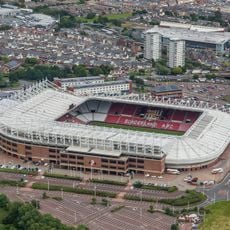
Stadium of Light
1.7 km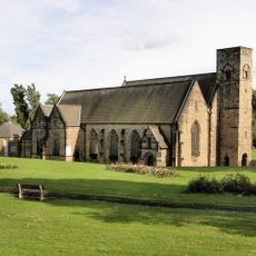
Abbazia di Monkwearmouth-Jarrow
1.4 km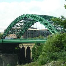
Wearmouth Bridge
1.9 km
St Peter's Church
1.4 km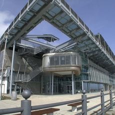
National Glass Centre
1.4 km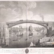
Wearmouth Bridge
1.9 km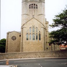
St Andrew's Church, Roker
250 m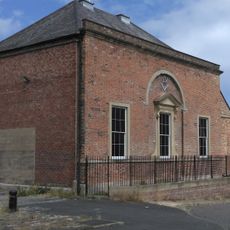
Phoenix Hall
1.8 km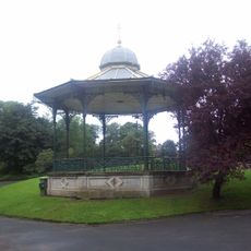
Roker Park
17 m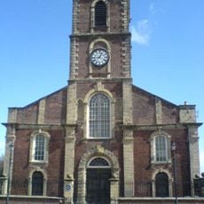
Holy Trinity Church, Sunderland
2 km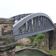
Monkwearmouth Bridge
2 km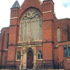
St Benet's Church, Sunderland
1.4 km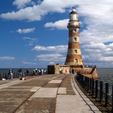
Roker Pier lighthouse
1.2 km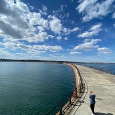
Roker Lighthouse;Roker Pier Lighthouse
1.2 km
Glass Centre, Sunderland, UK
1.4 km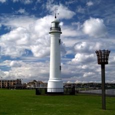
Old South Pier Lighthouse
660 m
10, Church Street East
1.9 km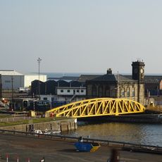
Swing Bridge, Lock And Walls Of North End Of Dock
1.6 km
Cat and Dog Steps
460 m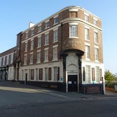
The Bridge Hotel
2 km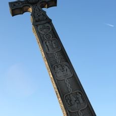
The Bede Memorial
211 m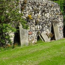
Retaining Wall To East Of Former Graveyard Of St Peter
1.4 km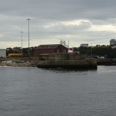
Wave Basin Battery Adjacent To Old South Pier
1.1 km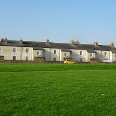
Trafalgar Square Merchant Seamen's Almshouses
2 km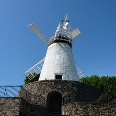
Fulwell Mill
1.4 km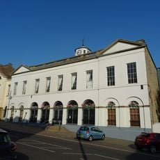
Sunderland Exchange
1.9 km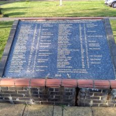
Lampholder In Centre Of Trafalgar Square
1.9 km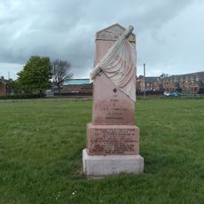
Wall To North Of Church Of Holy Trinity Churchyard
2 kmRecensioni
Ha visitato questo luogo? Tocchi le stelle per valutarlo e condividere la Sua esperienza o foto con la community! Provalo ora! Puoi annullarlo in qualsiasi momento.
Scopri tesori nascosti ad ogni viaggio!
Da piccoli caffè caratteristici a panorami nascosti, fuggi dalla folla e scova i posti che fanno davvero per te. La nostra app ti semplifica tutto: ricerca vocale, filtri furbi, percorsi ottimizzati e dritte autentiche da viaggiatori di tutto il mondo. Scaricala subito per vivere l'avventura sul tuo smartphone!

Un nuovo approccio alla scoperta turistica❞
— Le Figaro
Tutti i luoghi che meritano di essere esplorati❞
— France Info
Un’escursione su misura in pochi clic❞
— 20 Minutes