
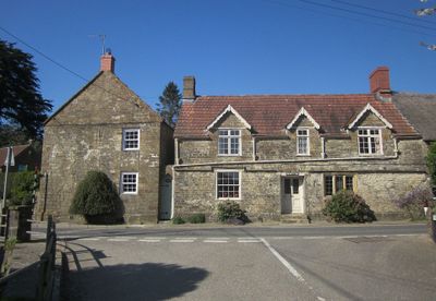
Sarum, building in South Perrott, West Dorset, Dorset, UK
Posizione: South Perrott
Coordinate GPS: 50.85755,-2.74889
Ultimo aggiornamento: 22 aprile 2025 alle 13:30
Church of St Bartholomew, Crewkerne
4.1 km
Christ Church, Crewkerne
4.2 km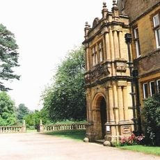
North Perrott Manor House
3 km
Whitevine Meadows
3.6 km
Church of St Michael and All Angels
4.2 km
Church of St Martin, North Perrott
2.8 km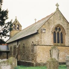
Church of St John
4.4 km
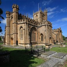
Church of St Mary
2 km
St Jamess Church
1.9 km
Church of St Mary
186 m
Church of St Leonard
2.6 km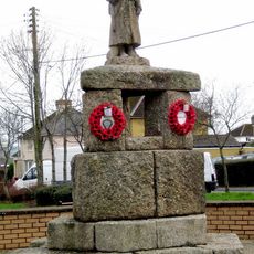
Crewkerne War Memorial
4 km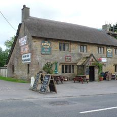
The Admiral Hood
2 km
The Thatched Farmhouse
2.6 km
Royal Oak Public House
4.3 km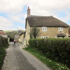
Cottage, 60 Metres South Of Chantry Farmhouse
4.2 km
Cottage, Coach House And Stable 15 Metres West Of The Old Rectory
111 m
Milestone, Outside The Post Office And Stores
4.1 km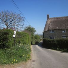
Littlewindsor Farmhouse
4.2 km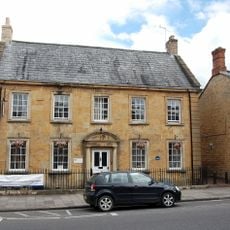
17 Market Street and attached railings
4.4 km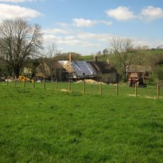
Buckham Mill
1.9 km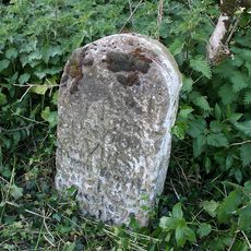
Milestone At Ngr St 4550 1055, About 140 Metres South-West Of Eastham's Gate Farmhouse
4.3 km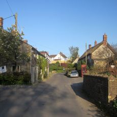
6 And 8, High Street
4.4 km
Lower Farmhouse
1.8 km
Eastham's Gate Farmhouse
4.3 km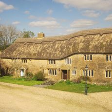
South Dibberford Farmhouse
3.1 km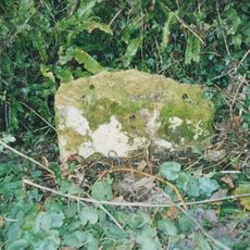
Milestone, near Folly Farm
4.4 km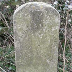
Milestone, between South Perrot and Misterton
1.1 kmRecensioni
Ha visitato questo luogo? Tocchi le stelle per valutarlo e condividere la Sua esperienza o foto con la community! Provalo ora! Puoi annullarlo in qualsiasi momento.
Scopri tesori nascosti ad ogni viaggio!
Da piccoli caffè caratteristici a panorami nascosti, fuggi dalla folla e scova i posti che fanno davvero per te. La nostra app ti semplifica tutto: ricerca vocale, filtri furbi, percorsi ottimizzati e dritte autentiche da viaggiatori di tutto il mondo. Scaricala subito per vivere l'avventura sul tuo smartphone!

Un nuovo approccio alla scoperta turistica❞
— Le Figaro
Tutti i luoghi che meritano di essere esplorati❞
— France Info
Un’escursione su misura in pochi clic❞
— 20 Minutes