
30 And 32, King Street, building in West Malling, Tonbridge and Malling, Kent, UK
Posizione: West Malling
Coordinate GPS: 51.29518,0.40842
Ultimo aggiornamento: 4 marzo 2025 alle 14:04
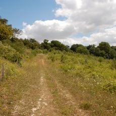
North Downs Way
795 m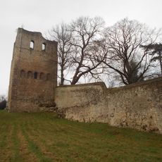
St Leonards Tower
893 m
Leybourne Castle
1.3 km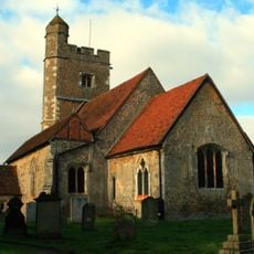
Church of St Martin
1.5 km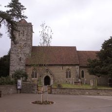
Church of St Peter and St Paul
1.4 km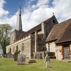
Parish Church of St Mary the Virgin
355 m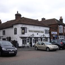
Five Pointed Star Public House
164 m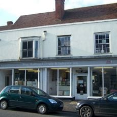
West Malling Library
37 m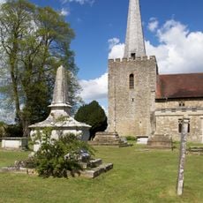
Church of St Mary Honymood Monument Approximately 20 Metres South Of South Aisle
392 m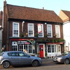
The Joiners Arms Public House
82 m
The Bull Public House
136 m
Bear Hotel
168 m
Douce's Manor
615 m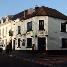
The Lobster Pot
164 m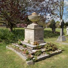
Church of St Mary Monument Approximately 25 Metres South Of Nave
408 m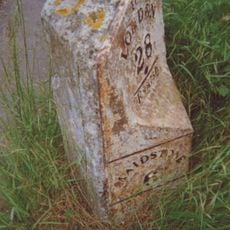
Milestone
1.4 km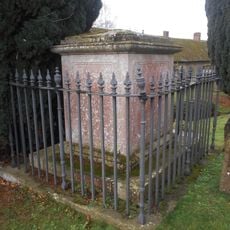
Frederick Addison Chest Tomb 15 Yards South Of Offham Church
2 km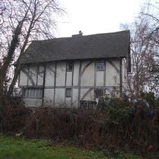
The Barracks
1.9 km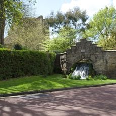
The Cascade
304 m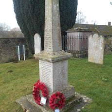
Offham War Memorial In St Michaels Churchyard
2 km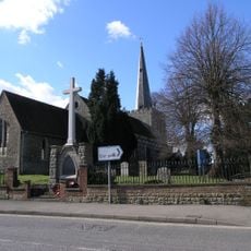
West Malling War Memorial
337 m
Brome House
366 m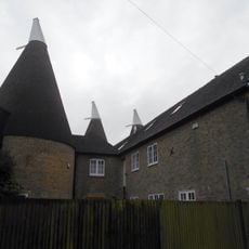
Broadwater Farm Oasthouses
1.4 km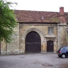
Gatehouse And Chapel To St Mary's Abbey
248 m
Malling Place
824 m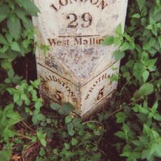
Milestone, London Road, E of Town Hill roundabout
568 m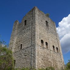
Tower keep castle at West Malling
888 m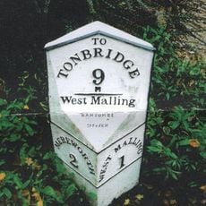
Milestone, King Hill, 300m N of roundabout on W Malling by-pass
1.7 kmRecensioni
Ha visitato questo luogo? Tocchi le stelle per valutarlo e condividere la Sua esperienza o foto con la community! Provalo ora! Puoi annullarlo in qualsiasi momento.
Scopri tesori nascosti ad ogni viaggio!
Da piccoli caffè caratteristici a panorami nascosti, fuggi dalla folla e scova i posti che fanno davvero per te. La nostra app ti semplifica tutto: ricerca vocale, filtri furbi, percorsi ottimizzati e dritte autentiche da viaggiatori di tutto il mondo. Scaricala subito per vivere l'avventura sul tuo smartphone!

Un nuovo approccio alla scoperta turistica❞
— Le Figaro
Tutti i luoghi che meritano di essere esplorati❞
— France Info
Un’escursione su misura in pochi clic❞
— 20 Minutes