
Rumpels Motel, architectural structure in Rye Foreign, Rother, East Sussex, UK
Posizione: Rye Foreign
Coordinate GPS: 50.97040,0.70038
Ultimo aggiornamento: 5 luglio 2025 alle 09:51
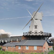
Gibbet Mill
2.9 km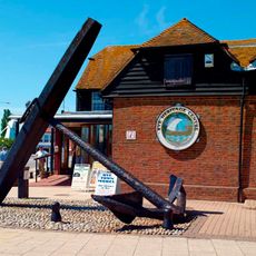
Rye Heritage Centre
3.1 km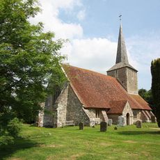
The Parish Church of St Michael
2.5 km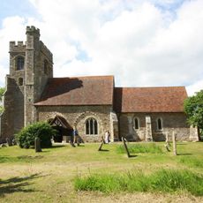
The Parish Church of All Saints
2.3 km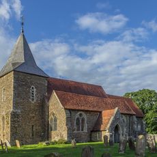
The Parish Church of St Peter and St Paul
1.2 km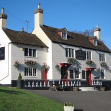
The Cock Inn
1.3 km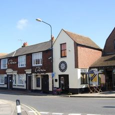
The Crown Inn
3 km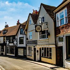
The Standard Inn
3.1 km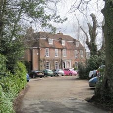
Flackley Ash
1.9 km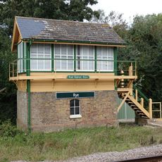
Rye Signal Box
2.9 km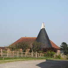
Cadborough Oast
2.9 km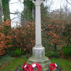
Iden War Memorial
2.5 km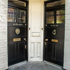
44 And 44A, High Street
3.1 km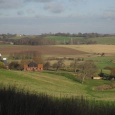
Barn At Wick Farm To The North Of The Farmhouse
3.1 km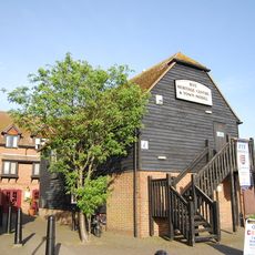
Rye Heritage Centre
3.1 km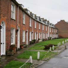
37-67, Military Road
3 km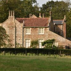
Peasmarsh House
1.4 km
The Old House
3.1 km
67, High Street
3.1 km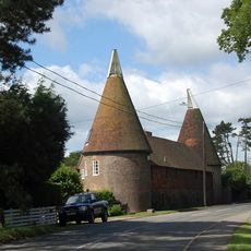
Oasthouses And Barn At Watland To The North East Of The House
3 km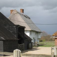
Oxenbridge Farmhouse
2.9 km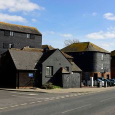
Warehouses Or Granaries On The West Side Of The Strand And In The Occupation Of Stonham And Company Agricultural Merchants And H R Clothier Agricultural And Marine Engineers And The Garden Centre
3.1 km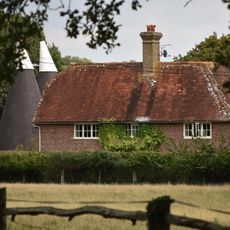
Dew Farmhouse
2.1 km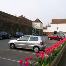
Portion Of The Town Walls To The South Of Cinque Ports Street And West Of Conduit Hill
3.1 km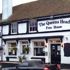
15-24, Landgate
3.1 km
Milestone, Rye Road Hill, opp. Top o' the Hill PH, 25m N of jct with Saltcote Lane
2.6 km
Milestone, Rye Road at TQ8975122482
60 m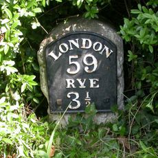
Milestone, Main Street; 80m E jcn Tanhouse Lane
1.4 kmRecensioni
Ha visitato questo luogo? Tocchi le stelle per valutarlo e condividere la Sua esperienza o foto con la community! Provalo ora! Puoi annullarlo in qualsiasi momento.
Scopri tesori nascosti ad ogni viaggio!
Da piccoli caffè caratteristici a panorami nascosti, fuggi dalla folla e scova i posti che fanno davvero per te. La nostra app ti semplifica tutto: ricerca vocale, filtri furbi, percorsi ottimizzati e dritte autentiche da viaggiatori di tutto il mondo. Scaricala subito per vivere l'avventura sul tuo smartphone!

Un nuovo approccio alla scoperta turistica❞
— Le Figaro
Tutti i luoghi che meritano di essere esplorati❞
— France Info
Un’escursione su misura in pochi clic❞
— 20 Minutes