
Watmans, building in Ticehurst, Rother, East Sussex, UK
Posizione: Ticehurst
Coordinate GPS: 51.04602,0.40874
Ultimo aggiornamento: 10 marzo 2025 alle 21:38
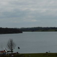
Bewl Water
2.8 km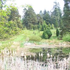
Pinetum di Bedgebury
4.6 km
Haremere Hall
4.9 km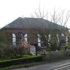
Shover's Green Baptist Chapel
3.7 km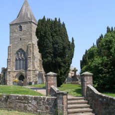
St Mary's Church, Ticehurst
93 m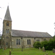
St Augustine's Church, Flimwell
3.6 km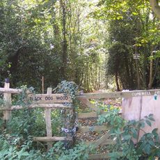
Combwell Wood
4.3 km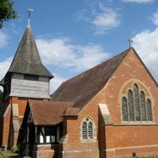
Church of St Peter
3 km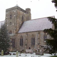
The Parish Church of St Nicholas and St Mary
4.6 km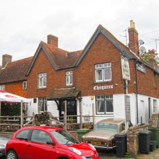
The Chequers Public House
64 m
The Bull Inn Public House
1 km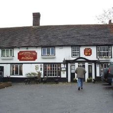
The Greyhound Inn
5.1 km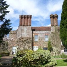
Pashley Manor
2 km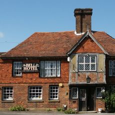
The Bell Hotel
103 m
The Cherry Tree Public House
865 m
Clyde Villa
2.8 km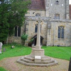
Etchingham War Memorial
4.7 km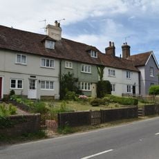
Laurel Bank Terrace
4.9 km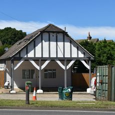
Former Colvin Bros. Filling Station
2.8 km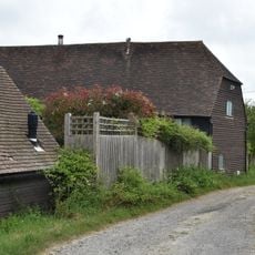
Barn To The North East Of Little Pell Farmhouse
4.8 km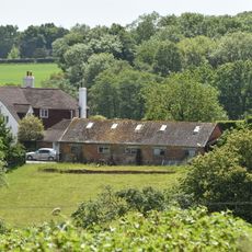
Walter's Farmhouse
1 km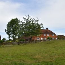
Little Whiligh
3.6 km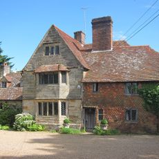
King John's Lodge
2.5 km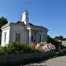
Flimwell Lodge
3 km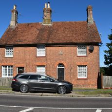
Flimwell Place
2.9 km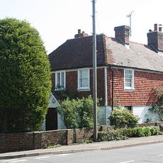
Lower Tollgate
437 m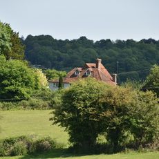
Ketleys
1.9 km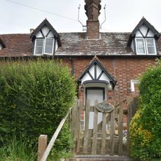
Mount Pleasant
4.9 kmRecensioni
Ha visitato questo luogo? Tocchi le stelle per valutarlo e condividere la Sua esperienza o foto con la community! Provalo ora! Puoi annullarlo in qualsiasi momento.
Scopri tesori nascosti ad ogni viaggio!
Da piccoli caffè caratteristici a panorami nascosti, fuggi dalla folla e scova i posti che fanno davvero per te. La nostra app ti semplifica tutto: ricerca vocale, filtri furbi, percorsi ottimizzati e dritte autentiche da viaggiatori di tutto il mondo. Scaricala subito per vivere l'avventura sul tuo smartphone!

Un nuovo approccio alla scoperta turistica❞
— Le Figaro
Tutti i luoghi che meritano di essere esplorati❞
— France Info
Un’escursione su misura in pochi clic❞
— 20 Minutes