
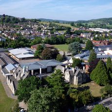
Upfield, building in Stroud, Stroud, Gloucestershire, UK
Posizione: Stroud
Coordinate GPS: 51.74887,-2.23851
Ultimo aggiornamento: 6 settembre 2025 alle 08:34
Marling School
442 m
Stratford Park
1 km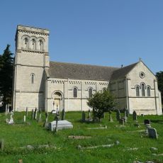
Church of St Paul
1.3 km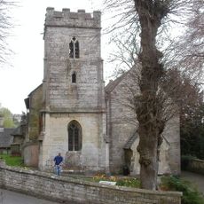
Church of St John the Baptist
1.4 km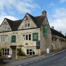
Star Inn
1.4 km
Church of St Matthew
856 m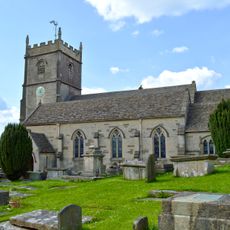
Church of St Mary Magdalene
1.4 km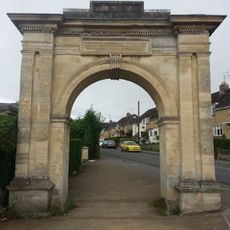
Archway, Formerly To Farm Hill Park
226 m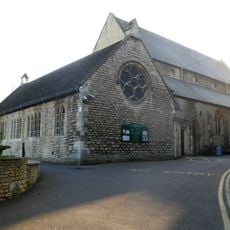
Church of the Immaculate Conception
1.4 km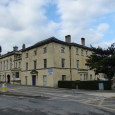
Willow Court, The Old Court House and Willow House
1.5 km
Hill Paul building
1.4 km
Whiteshill War Memorial
1.4 km
The Cooperative Stores
1.4 km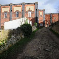
Lodgemoor Mills
951 m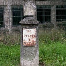
Sundial And Milepost
620 m
Ebley Mill
1.2 km
Imperial Hotel
1.4 km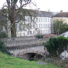
Lodgemoor Mills Bridge
977 m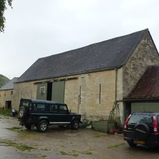
Barn approximately 10 metres south of Ruscombe Farmhouse
1.3 km
Horseshoe Cottage
1.5 km
Nos 1 and 2 (Gannicox House) and No 3
820 m
Lodgemoor Mills Office Block
921 m
Ruscombe Farmhouse
1.3 km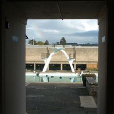
Stratford Park Diving Platform
871 m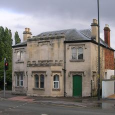
23 And 25, Westward Road
674 m
Numbers 1 to 10 (consecutive) including iron railings to areas of Numbers 1, 2, 3 and 6
1.4 km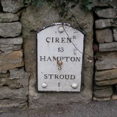
Milestone, Rodborough Hill
1.4 km
Milestone, Dudbridge Road, Rodborough
1.2 kmRecensioni
Ha visitato questo luogo? Tocchi le stelle per valutarlo e condividere la Sua esperienza o foto con la community! Provalo ora! Puoi annullarlo in qualsiasi momento.
Scopri tesori nascosti ad ogni viaggio!
Da piccoli caffè caratteristici a panorami nascosti, fuggi dalla folla e scova i posti che fanno davvero per te. La nostra app ti semplifica tutto: ricerca vocale, filtri furbi, percorsi ottimizzati e dritte autentiche da viaggiatori di tutto il mondo. Scaricala subito per vivere l'avventura sul tuo smartphone!

Un nuovo approccio alla scoperta turistica❞
— Le Figaro
Tutti i luoghi che meritano di essere esplorati❞
— France Info
Un’escursione su misura in pochi clic❞
— 20 Minutes