
Choller Farmhouse, farmhouse in Walberton, Arun, West Sussex, UK
Posizione: Walberton
Coordinate GPS: 50.84255,-0.64121
Ultimo aggiornamento: 11 ottobre 2025 alle 11:23
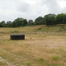
Eartham Pit
4.5 km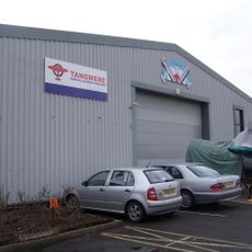
Tangmere Military Aviation Museum
5.2 km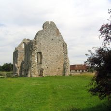
Boxgrove Priory
5.3 km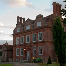
Barnham Court
2.1 km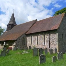
St Mary's Church, Walberton
1.4 km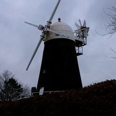
John Baker's Mill
2 km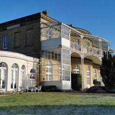
Aldingbourne House
3.4 km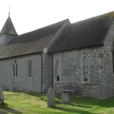
St George's Church
1.4 km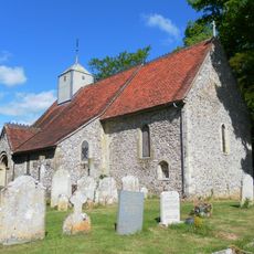
St Mary Magdalene's Church, Tortington
4.6 km
Bilsham Chapel
3.9 km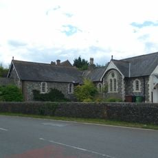
Yapton Free Church
3 km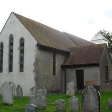
The Parish Church of St Mary
2.1 km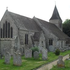
The Parish Church of St Mary
2.7 km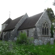
The Parish Church of St Mary Magdalene
5.1 km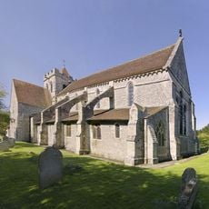
The Priory Church of St Mary and St Blaize, Bloxworth
5.3 km
The Parish Church of St Andrew
4.9 km
The Parish Church of St Margaret
4.2 km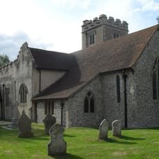
The Parish Church of St Mary
3.4 km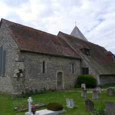
The Parish Church of St Mary
3.2 km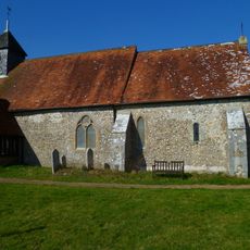
Church of St Mary
2.5 km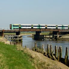
Ford railway bridge
5 km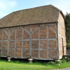
Granary/Outbuilding at Manor Farm to the north west of the Farmhouse
1.3 km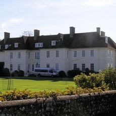
Eartham House
4.1 km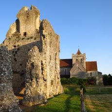
Boxgrove Priory
5.3 km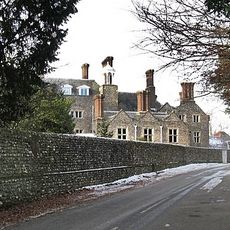
Slindon House
2.8 km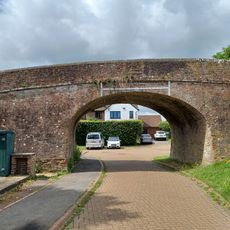
Old Canal Bridge, On Footpath 157
3.1 km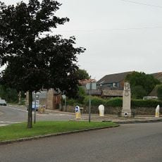
Eastergate War Memorial
1.4 km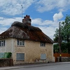
19, Burndell Road
3.6 kmRecensioni
Ha visitato questo luogo? Tocchi le stelle per valutarlo e condividere la Sua esperienza o foto con la community! Provalo ora! Puoi annullarlo in qualsiasi momento.
Scopri tesori nascosti ad ogni viaggio!
Da piccoli caffè caratteristici a panorami nascosti, fuggi dalla folla e scova i posti che fanno davvero per te. La nostra app ti semplifica tutto: ricerca vocale, filtri furbi, percorsi ottimizzati e dritte autentiche da viaggiatori di tutto il mondo. Scaricala subito per vivere l'avventura sul tuo smartphone!

Un nuovo approccio alla scoperta turistica❞
— Le Figaro
Tutti i luoghi che meritano di essere esplorati❞
— France Info
Un’escursione su misura in pochi clic❞
— 20 Minutes