
Wood End, architectural structure in Lymington and Pennington, New Forest, Hampshire, UK
Posizione: Lymington and Pennington
Coordinate GPS: 50.74463,-1.54594
Ultimo aggiornamento: 9 marzo 2025 alle 09:21

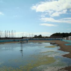
Lymington Open Air Sea Water Baths
1.5 km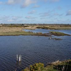
Keyhaven, Pennington, Oxey and Normandy Marshes
2 km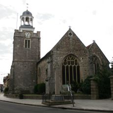
Church of St. Thomas the Apostle
1.5 km
Hurst Castle And Lymington River Estuary
1.9 km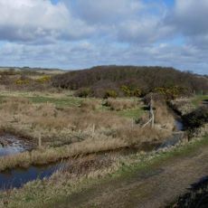
Lymington and Keyhaven Marshes
1.3 km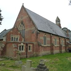
Church of St Mark
1.6 km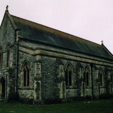
Church of All Saints
695 m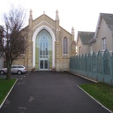
United Reform Church
1.5 km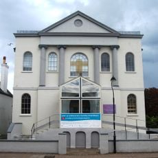
Baptist Church
1.6 km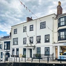
Standwell House Hotel Stanwell House Hotel
1.6 km
Lymington Community Centre
1.7 km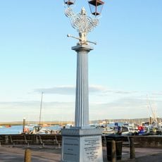
Burrard-Neale Memorial Gas Lamp
1.6 km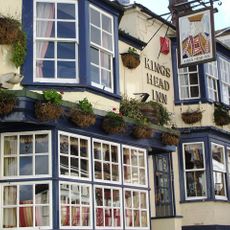
The King's Head Public House
1.7 km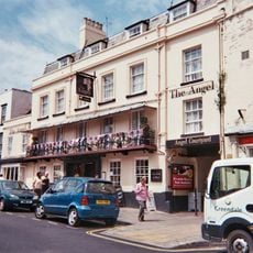
The Angel Hotel
1.6 km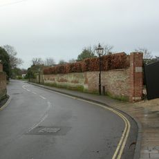
Garden wall to Elm Grove House
1.3 km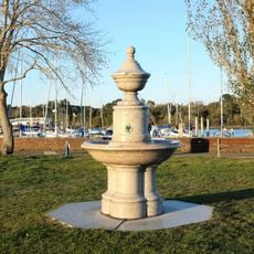
Drinking Fountain
1.6 km
No 1, 3 And 5 And Cast Iron Bollard Against No 1 At Junction Of Gosport Street And Quay Hill
1.7 km
No 6 And Band Of Stone Paving On West Sides
1.7 km
Hill House
1.4 km
16-18, High Street
1.6 km
Lloyds Bank
1.5 km
Quay Hill Surface
1.7 km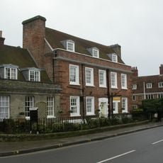
Monmouth House (including The Former Office Of The Clerk To The Justices)
1.4 km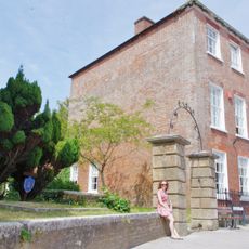
Ivy House No 63 And Area Railings Twynham House
1.5 km
102 And 103, High Street
1.6 km
36 And 37, High Street
1.6 km
29, High Street
1.6 km
Milestone, Pennington
923 mRecensioni
Ha visitato questo luogo? Tocchi le stelle per valutarlo e condividere la Sua esperienza o foto con la community! Provalo ora! Puoi annullarlo in qualsiasi momento.
Scopri tesori nascosti ad ogni viaggio!
Da piccoli caffè caratteristici a panorami nascosti, fuggi dalla folla e scova i posti che fanno davvero per te. La nostra app ti semplifica tutto: ricerca vocale, filtri furbi, percorsi ottimizzati e dritte autentiche da viaggiatori di tutto il mondo. Scaricala subito per vivere l'avventura sul tuo smartphone!

Un nuovo approccio alla scoperta turistica❞
— Le Figaro
Tutti i luoghi che meritano di essere esplorati❞
— France Info
Un’escursione su misura in pochi clic❞
— 20 Minutes