
Earlylands, building in West Kingsdown, Sevenoaks, Kent, UK
Posizione: West Kingsdown
Coordinate GPS: 51.32999,0.25945
Ultimo aggiornamento: 14 marzo 2025 alle 14:45
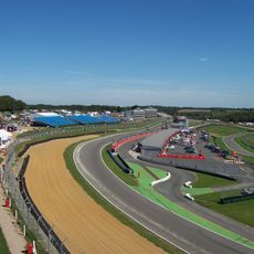
Circuito di Brands Hatch
3 km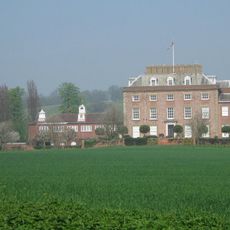
St Clere
2.3 km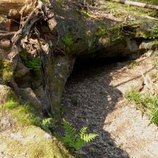
Oldbury rock shelters
4.9 km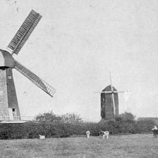
West Kingsdown Windmill
1.1 km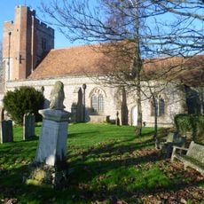
Parish Church of Saint Peter and Saint Paul
4.1 km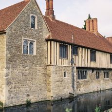
Church of St Peter
4.9 km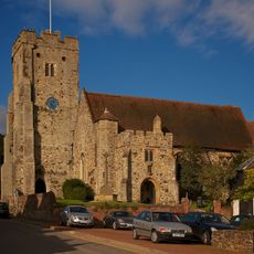
Church of St George
4.3 km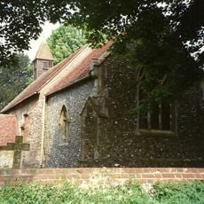
Church of Saint Peter
4.8 km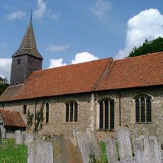
Church of St Mary
3.2 km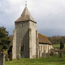
Church of St Mary
3.3 km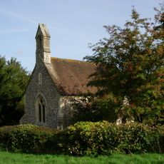
Church of Saint Mary the Virgin
1.4 km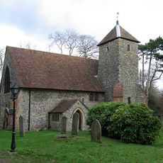
Church of Saint Edmund
2 km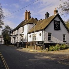
The Bull Hotel
4.3 km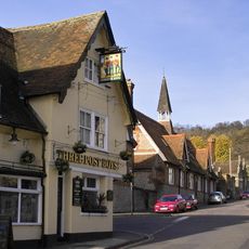
The Three Post Boys Public House
4.3 km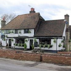
The White Swan Public House
3.9 km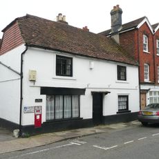
The Post Office
4.2 km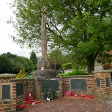
Kemsing War Memorial
3.4 km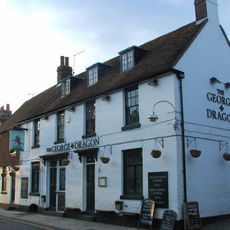
The George And Dragon Public House
4.2 km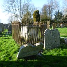
Monument To Lock Family In Churchyard Of Parish Church Of Saint Peter And Saint Paul
4.1 km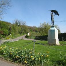
Stansted War Memorial
3.4 km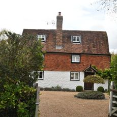
Noah's Ark
3.9 km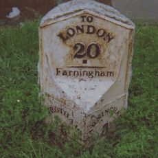
Two milestones at West Kingsdown
1.4 km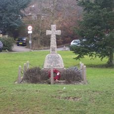
Fawkham War Memorial
4.2 km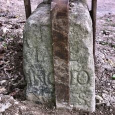
Milestone on Pilgrim's Way
3.7 km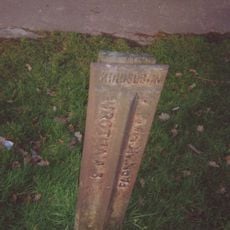
Milepost, London Road, opp "Sandsford House", outside "Ajacio", W of School Lane
1.3 km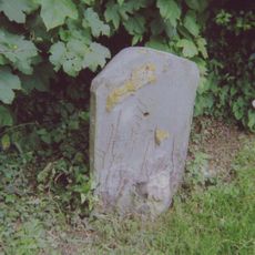
Milestone, Old London Road, W of jct with High Street, opp. Coach Lodge
4.2 km
Milestone, London Road, N of Millfield Road, at front of Texaco filling station
2.4 km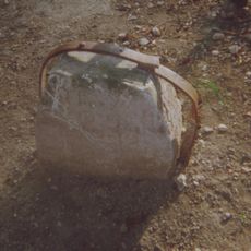
Guidestone, Pilgrims Way, to W and adjoining track to Kemsing Down Nature Reserve, and jct with Childsbridge Lane
3.6 kmRecensioni
Ha visitato questo luogo? Tocchi le stelle per valutarlo e condividere la Sua esperienza o foto con la community! Provalo ora! Puoi annullarlo in qualsiasi momento.
Scopri tesori nascosti ad ogni viaggio!
Da piccoli caffè caratteristici a panorami nascosti, fuggi dalla folla e scova i posti che fanno davvero per te. La nostra app ti semplifica tutto: ricerca vocale, filtri furbi, percorsi ottimizzati e dritte autentiche da viaggiatori di tutto il mondo. Scaricala subito per vivere l'avventura sul tuo smartphone!

Un nuovo approccio alla scoperta turistica❞
— Le Figaro
Tutti i luoghi che meritano di essere esplorati❞
— France Info
Un’escursione su misura in pochi clic❞
— 20 Minutes