
590 And 592, Kingsland Road E2, building in Hackney, Greater London, UK
Posizione: London Borough of Hackney
Coordinate GPS: 51.54591,-0.07555
Ultimo aggiornamento: 21 marzo 2025 alle 05:36
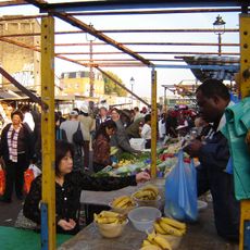
Ridley Road Market
305 m
Fassett Square
682 m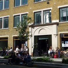
Cafe Oto
125 m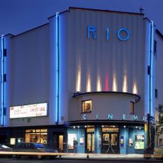
Rio Cinema
411 m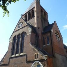
Holy Trinity Church, Dalston
243 m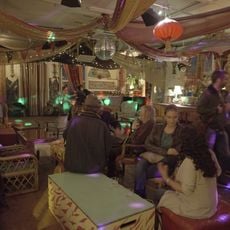
Passing Clouds
409 m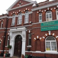
Shacklewell Lane Mosque
564 m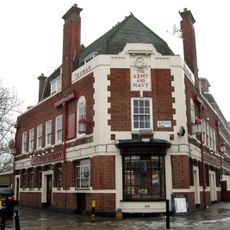
Army and Navy
709 m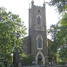
Church of St Peter
651 m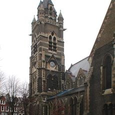
Church of St Mark
525 m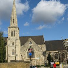
Church of St Jude and St Paul
456 m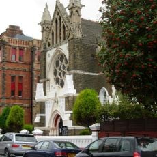
Hamburg Lutheran Church
559 m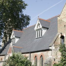
St Marks Church Hall And Vergers House
538 m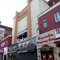
ABC Stoke Newington
579 m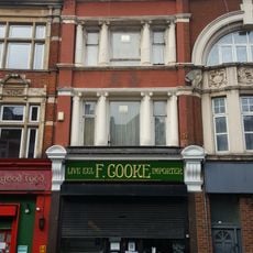
F Cooke's Eel, Pie And Mash Shop
202 m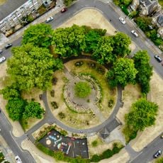
De Beauvoir Square
563 m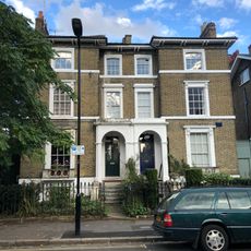
23 And 24, Albion Square E8
718 m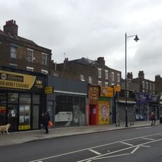
546-558, Kingsland Road
109 m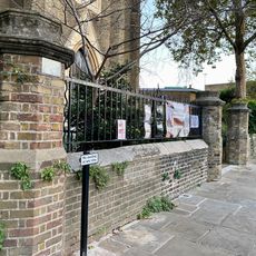
Walls Around Churchyard Of St Peter, With Gates
665 m
Post At Outer Corner Of Number 20 Ashwin Street
115 m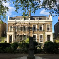
19 And 20, Albion Square E8
705 m
13-16, Albion Square E8
688 m
17 And 18, Albion Square E8
695 m
Haggerston Road School War Memorial
668 m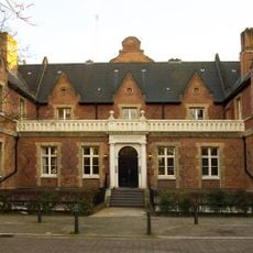
Lodge To West Entrance Of German Hospital
579 m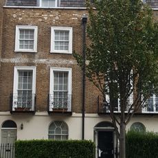
358 And 360, Kingsland Road
615 m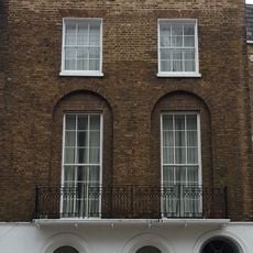
362-368, Kingsland Road
600 m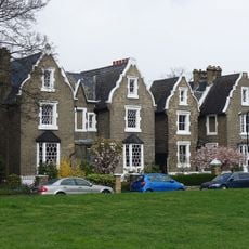
1-10, De Beauvoir Square N1
500 mRecensioni
Ha visitato questo luogo? Tocchi le stelle per valutarlo e condividere la Sua esperienza o foto con la community! Provalo ora! Puoi annullarlo in qualsiasi momento.
Scopri tesori nascosti ad ogni viaggio!
Da piccoli caffè caratteristici a panorami nascosti, fuggi dalla folla e scova i posti che fanno davvero per te. La nostra app ti semplifica tutto: ricerca vocale, filtri furbi, percorsi ottimizzati e dritte autentiche da viaggiatori di tutto il mondo. Scaricala subito per vivere l'avventura sul tuo smartphone!

Un nuovo approccio alla scoperta turistica❞
— Le Figaro
Tutti i luoghi che meritano di essere esplorati❞
— France Info
Un’escursione su misura in pochi clic❞
— 20 Minutes