
Boundary Wall To Woodcote Park Extending From Opposite Pumping Station To Corner With Chalk Pit Road
Boundary Wall To Woodcote Park Extending From Opposite Pumping Station To Corner With Chalk Pit Road, wall in Epsom and Ewell, Surrey, UK
Posizione: Epsom and Ewell
Coordinate GPS: 51.30542,-0.27291
Ultimo aggiornamento: 21 marzo 2025 alle 05:26
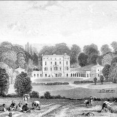
Woodcote Park
1.1 km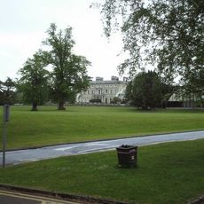
Ashtead Park
1 km
Epsom Common
3 km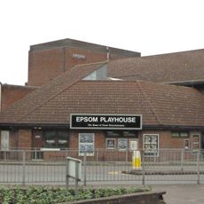
Epsom Playhouse
2.9 km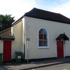
Bugby Chapel
3.4 km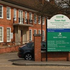
Epsom Town Hall
3.1 km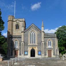
Parish Church of St Martin
3 km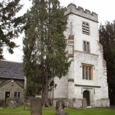
Church of St Giles, Ashtead
1.2 km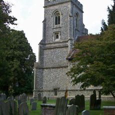
Church of St Peter
3.2 km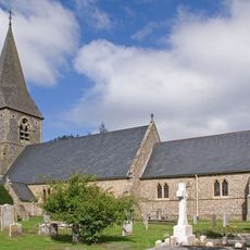
Church of St Mary the Virgin
2.8 km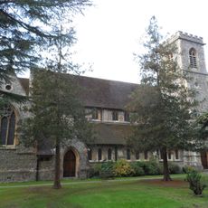
Christ Church
3.4 km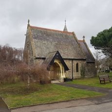
Epsom Cemetery Chapel (Church Of England)
1.9 km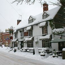
The Old Kings Head Public House
2.9 km
Church of the Good Shepherd
3.1 km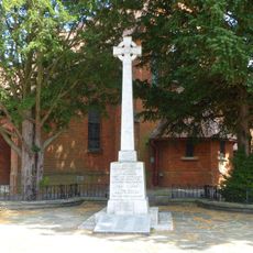
Ashtead War Memorial
2.7 km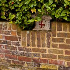
Coal Tax Post In The Garden Of The Rise
3.4 km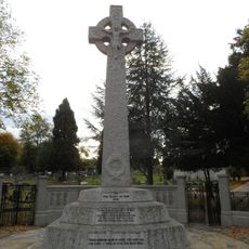
Epsom War Memorial
2 km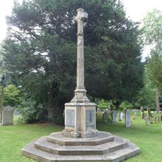
Walton on the Hill War Memorial
3.2 km
6 And 8, Clayton Road
3.3 km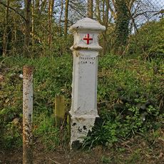
Coal Tax Post At Ngr Tq 22575579
2.8 km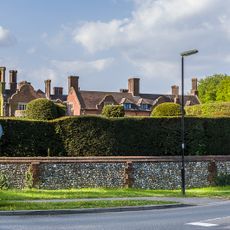
Headley Court And Attached Former Stables
2.3 km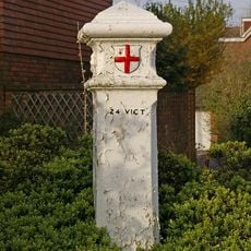
Coal Tax Post At Ngr 2273 5533
3.2 km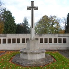
Epsom Cemetery Cross of Sacrifice, Epsom
2 km
Coal Tax Post At N0 44
2.7 km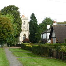
Walton on the Hill
3.1 km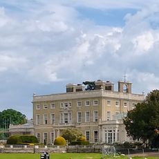
Ashtead Park House And Attached Balustrades
1 km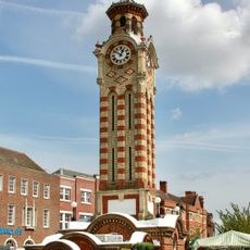
Clock Tower
3.1 km
147 and 149-153 High Street
3 kmRecensioni
Ha visitato questo luogo? Tocchi le stelle per valutarlo e condividere la Sua esperienza o foto con la community! Provalo ora! Puoi annullarlo in qualsiasi momento.
Scopri tesori nascosti ad ogni viaggio!
Da piccoli caffè caratteristici a panorami nascosti, fuggi dalla folla e scova i posti che fanno davvero per te. La nostra app ti semplifica tutto: ricerca vocale, filtri furbi, percorsi ottimizzati e dritte autentiche da viaggiatori di tutto il mondo. Scaricala subito per vivere l'avventura sul tuo smartphone!

Un nuovo approccio alla scoperta turistica❞
— Le Figaro
Tutti i luoghi che meritano di essere esplorati❞
— France Info
Un’escursione su misura in pochi clic❞
— 20 Minutes