Belfry House, house in Witton-le-Wear, County Durham, UK
Posizione: Witton-le-Wear
Coordinate GPS: 54.67579,-1.76953
Ultimo aggiornamento: 25 ottobre 2025 alle 21:25
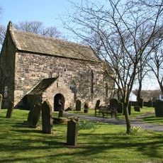
Escomb Church
4.1 km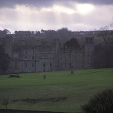
Castello di Witton
940 m
Witton-le-Wear
1.1 km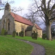
Church of St Philip and St James
189 m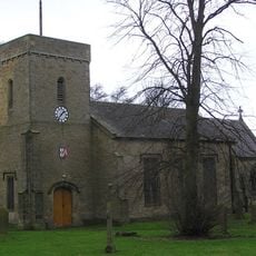
Church of St Cuthbert
3.3 km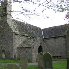
Church of St James
2.3 km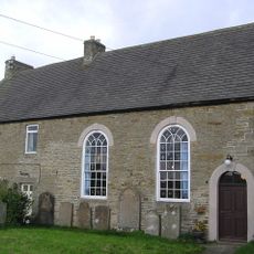
Hamsterley Baptist Chapel
3.1 km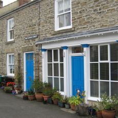
Post Office
37 m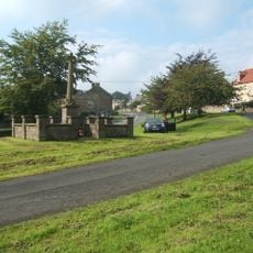
Hamsterley War Memorial
2.9 km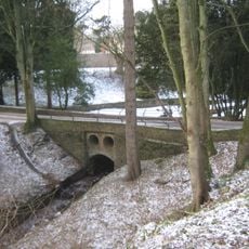
Bridge C.300 Metres South-East Of Witton Castle
1 km
Fir Tree War Memorial Drinking Fountain
3.5 km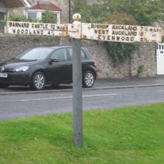
Guide Post Opposite Number 1 South View Cottage
3 km
County Council Marker Stone In Front Of No. 13
3.5 km
Hunwick Hall North West and North East Ranges
4.2 km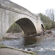
Witton Bridge
521 m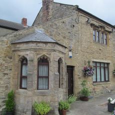
Hunwick Hall Farmhouse
4.2 km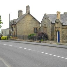
Former Parish School And Wall Attached
3.3 km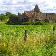
Farm Buildings C.200 Metres North-West Of Green Field Farm
3.6 km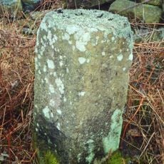
Fir Tree
2.8 km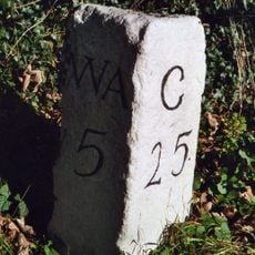
Milestone North Of Witton Le Wear
1.4 km
High Etherley
3.4 km
Witton-le-Wear
338 m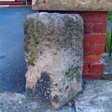
Toft Hill
3 km
Cross About 3 Metres South Of Church Of St Philip And St James
182 m
Howden-le-Wear War Memorial
2.5 km
High Etherley War Memorial
3.3 km
Escomb War Memorial
4.1 km
Opera d'arte, scultura
3.1 kmRecensioni
Ha visitato questo luogo? Tocchi le stelle per valutarlo e condividere la Sua esperienza o foto con la community! Provalo ora! Puoi annullarlo in qualsiasi momento.
Scopri tesori nascosti ad ogni viaggio!
Da piccoli caffè caratteristici a panorami nascosti, fuggi dalla folla e scova i posti che fanno davvero per te. La nostra app ti semplifica tutto: ricerca vocale, filtri furbi, percorsi ottimizzati e dritte autentiche da viaggiatori di tutto il mondo. Scaricala subito per vivere l'avventura sul tuo smartphone!

Un nuovo approccio alla scoperta turistica❞
— Le Figaro
Tutti i luoghi che meritano di essere esplorati❞
— France Info
Un’escursione su misura in pochi clic❞
— 20 Minutes