
Byre To East Of Pedams Oak Farmhouse, cowshed in Edmondbyers, County Durham, UK
Posizione: Edmondbyers
Coordinate GPS: 54.83020,-2.02181
Ultimo aggiornamento: 21 marzo 2025 alle 05:20
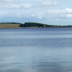
Derwent Reservoir
4.8 km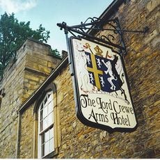
The Lord Crewe Arms Hotel
2.9 km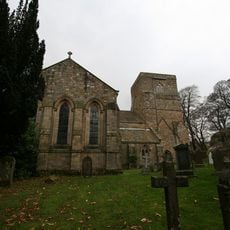
Blanchland Abbey
2.9 km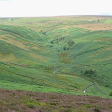
Burnhope Burn
4.9 km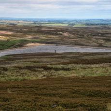
Hisehope Reservoir
4 km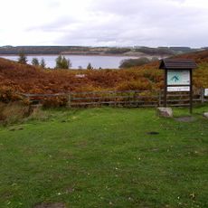
Pow Hill Bog
4.1 km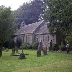
Church of St Edmund
3.1 km
Church of St Mary
2.9 km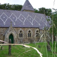
Church of St James
3.8 km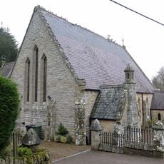
Methodist Chapel
3.4 km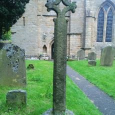
Churchyard Cross 17 Metres West Of Door Of Church Of St. Mary
2.9 km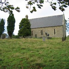
Church of All Saints
5.9 km
Ruffside Hall
3.5 km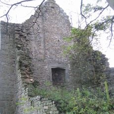
Remains Of Manor House At Priory Farm
6 km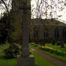
War Memorial Outside St Marys Abbey
2.9 km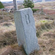
Boundary Stone At Ngr Ny 97255421
6 km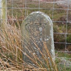
Boundary Stone
5.8 km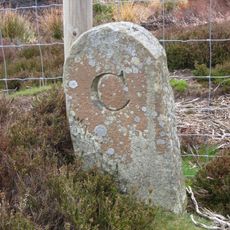
Boundary Stone 100 Metres North Of Shooting Box
6 km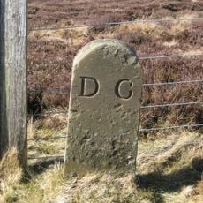
Boundary Stone About 100 Metres East Of Road To Stanhope, On Parish Boundary
2.4 km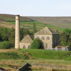
Chimney, Building Abutting And Larger Building Presser Pumping Station
2.7 km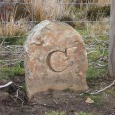
Boundary Stone 360 Metres East Of Shooting Box
5.7 km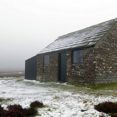
Shooting Box
6 km
Edmundbyers Cross, Muggleswick Common, 1460m west of Heather Lea
4 km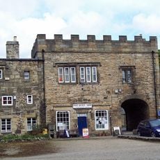
House Adjacent To Abbey Gatehouse
2.9 km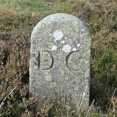
Boundary Stone At Dead Friar
3.5 km
Abbey Gatehouse With Post Office
2.9 km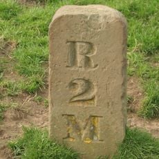
Milestone, Newbiggin, N bank of Beldon Burn, Blanchland Moor
4.8 km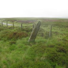
By track
5.5 kmRecensioni
Ha visitato questo luogo? Tocchi le stelle per valutarlo e condividere la Sua esperienza o foto con la community! Provalo ora! Puoi annullarlo in qualsiasi momento.
Scopri tesori nascosti ad ogni viaggio!
Da piccoli caffè caratteristici a panorami nascosti, fuggi dalla folla e scova i posti che fanno davvero per te. La nostra app ti semplifica tutto: ricerca vocale, filtri furbi, percorsi ottimizzati e dritte autentiche da viaggiatori di tutto il mondo. Scaricala subito per vivere l'avventura sul tuo smartphone!

Un nuovo approccio alla scoperta turistica❞
— Le Figaro
Tutti i luoghi che meritano di essere esplorati❞
— France Info
Un’escursione su misura in pochi clic❞
— 20 Minutes