
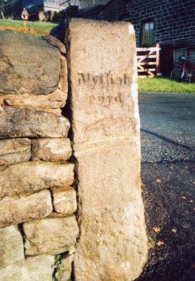
Guide Post At Se 026264 At Junction Of Height Road
Guide Post At Se 026264 At Junction Of Height Road, fingerpost in Hebden Royd, Calderdale, West Yorkshire, UK
Posizione: Hebden Royd
Inizio: 18 secolo
Coordinate GPS: 53.73400,-1.96071
Ultimo aggiornamento: 3 marzo 2025 alle 03:33
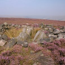
Cairn known as Millers Grave on Midgley Moor
2.1 km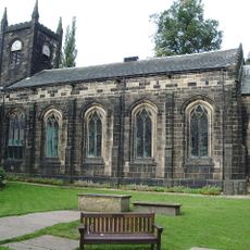
Church of St Mary the Blessed Virgin
1.5 km
Church of St Michael
1.4 km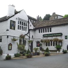
Lord Nelson Inn
1.4 km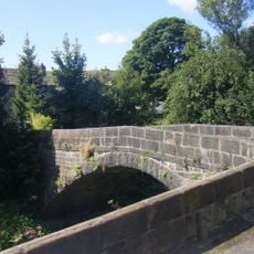
Hawks Clough Bridge
2 km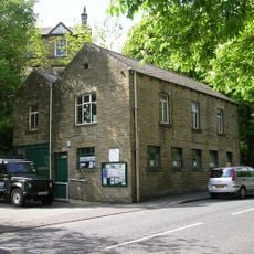
Mytholmroyd Library
2.1 km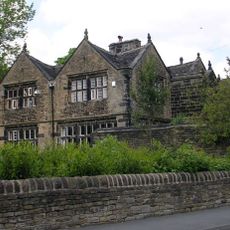
Kershaw House
1.6 km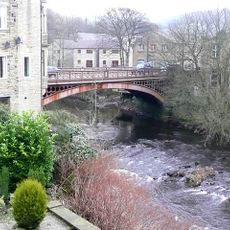
Bridge Over River Calder And Attached Walling
1.7 km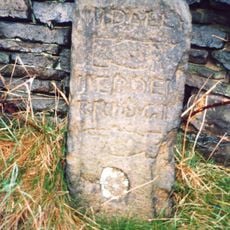
Guide Post At Se 015270 20 Metres To West Of Rough Bottom
1.3 km
The Dusty Miller Public House And Attached Barn
1.5 km
Luddenden Foot War Memorial
1.7 km
Cup marked boundary stone known as Churn Milk Joan on Crow Hill, Midgley Moor, 580m north of Foster Clough Bridge
1.5 km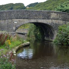
Rochdale Canal Redacre Bridge
1.5 km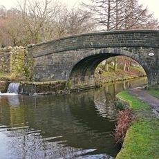
Rochdale Canal Broadbottom Bridge
1.9 km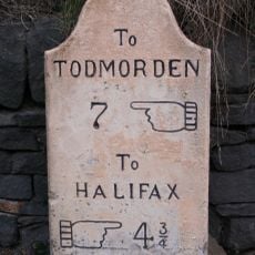
Milestone At Se 030257 50 Metres To East Of Spring Royd On Opposite Side Of Road
726 m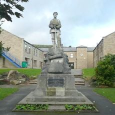
Mytholmroyd War Memorial at Se 012260 50 Metres to East of the Dusty Miller Public House
1.5 km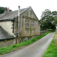
Wadsworth Banks Farmhouse
1.2 km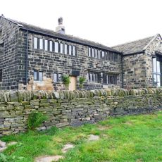
Wadsworth Royd Farmhouse
1.4 km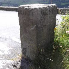
Guidestone, jct Wadsworth Lane/Height Rd/Nook Lane
2.2 km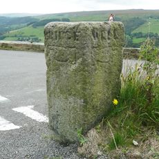
Guide Post At Se 006271 At Junction Of Wadsworth Lane
2.2 km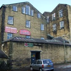
The Part Of Mount Pleasant Mills To Rear Of Mount Pleasant House Occupied By Aj Dyter, Cabinet Maker And Firth Joiners
1.3 km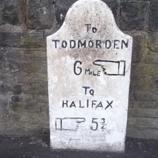
Milestone At Se 016260 At Junction Of White Lee Gardens
1.2 km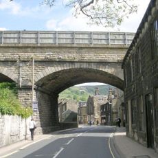
Mytholmroyd Viaduct
1.6 km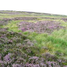
Enclosed Bronze Age urnfield 440m north west of Rough Bottom on Midgeley Moor
1.7 km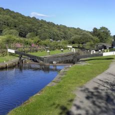
Rochdale Canal Lock Number 7 (Broadbottom) And Overflow Channel To North
2 km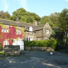
Redacre House
1.5 km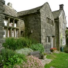
Broad Bottom Old Hall
1.9 km
22,24,26,34,36,38,40, 42, Sunny Bank
1.2 kmRecensioni
Ha visitato questo luogo? Tocchi le stelle per valutarlo e condividere la Sua esperienza o foto con la community! Provalo ora! Puoi annullarlo in qualsiasi momento.
Scopri tesori nascosti ad ogni viaggio!
Da piccoli caffè caratteristici a panorami nascosti, fuggi dalla folla e scova i posti che fanno davvero per te. La nostra app ti semplifica tutto: ricerca vocale, filtri furbi, percorsi ottimizzati e dritte autentiche da viaggiatori di tutto il mondo. Scaricala subito per vivere l'avventura sul tuo smartphone!

Un nuovo approccio alla scoperta turistica❞
— Le Figaro
Tutti i luoghi che meritano di essere esplorati❞
— France Info
Un’escursione su misura in pochi clic❞
— 20 Minutes