
225-231, High Street, building in Mole Valley, Surrey, UK
Posizione: Mole Valley
Coordinate GPS: 51.23358,-0.32866
Ultimo aggiornamento: 17 marzo 2025 alle 06:53
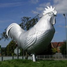
Dorking Cockerel
500 m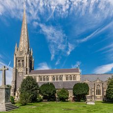
St Martin's Church, Dorking
260 m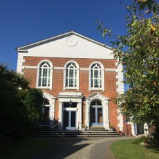
United Reformed Church
448 m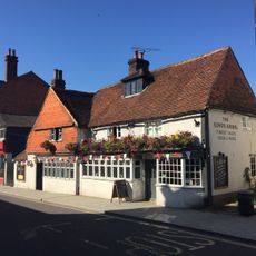
The King's Arms
514 m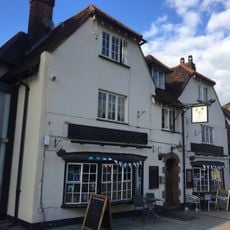
The Spotted Dog Public House
481 m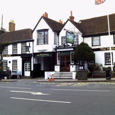
The White Horse Hotel
147 m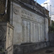
Dorking War Memorial
503 m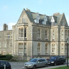
Pippbrook House
400 m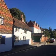
Cotmandene House Cotmandene Lodge Old Cotmandene Lodge Rushwood House
302 m
The Wheatsheaf Public House
328 m
41 And 42, Dene Street
205 m
3 And 11, High Street
369 m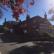
35-38, Dene Street
233 m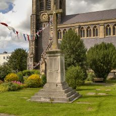
Dorking WWI Memorial Cross
263 m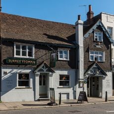
Surrey Yeoman House
52 m
168 And 170, High Street
123 m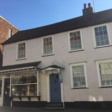
7, West Street
438 m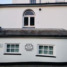
Brookside
373 m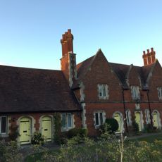
Almshouses
87 m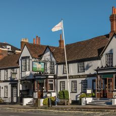
Dutch House Part Of The White Horse Hotel
182 m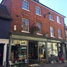
5 And 6, West Street
427 m
3 And 4, West Street
420 m
11, West Street
471 m
70 And 71, Dene Street
120 m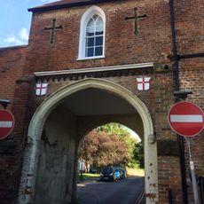
Butter Hill House Rose Hill House
433 m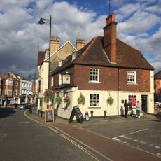
Bull's Head
406 m
23 And 24, Rose Hill
496 m
63, Dene Street
131 mRecensioni
Ha visitato questo luogo? Tocchi le stelle per valutarlo e condividere la Sua esperienza o foto con la community! Provalo ora! Puoi annullarlo in qualsiasi momento.
Scopri tesori nascosti ad ogni viaggio!
Da piccoli caffè caratteristici a panorami nascosti, fuggi dalla folla e scova i posti che fanno davvero per te. La nostra app ti semplifica tutto: ricerca vocale, filtri furbi, percorsi ottimizzati e dritte autentiche da viaggiatori di tutto il mondo. Scaricala subito per vivere l'avventura sul tuo smartphone!

Un nuovo approccio alla scoperta turistica❞
— Le Figaro
Tutti i luoghi che meritano di essere esplorati❞
— France Info
Un’escursione su misura in pochi clic❞
— 20 Minutes