
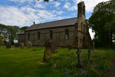
Church of St Paul, church building in North Sunderland, Northumberland, UK
Posizione: North Sunderland
Coordinate GPS: 55.57628,-1.66526
Ultimo aggiornamento: 11 marzo 2025 alle 14:12
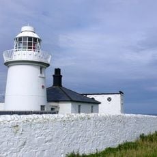
Faro di Inner Farne
4.4 km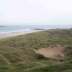
Bamburgh Dunes
4.3 km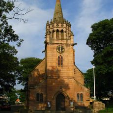
Church of St Ebba
2.8 km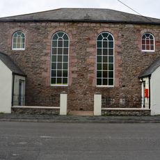
United Reformed Church
225 m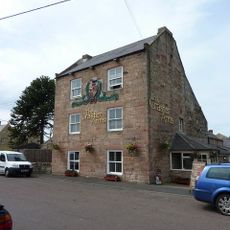
The Craster Arms
2.8 km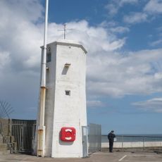
Seahouses Lighthouse
1.3 km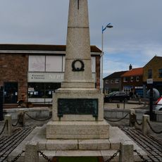
Seahouses War Memorial
965 m
Beadnell Tower Hotel
2.8 km
The Powder House North East Of Seahouses Point
1.5 km
Lime Kilns To East Of Harbour
3.8 km
Seahouses Library
389 m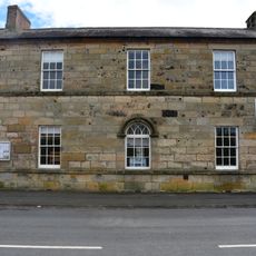
157 And 159, Main Street
58 m
Bark Pots At The Anchorage
2.9 km
St Ebba's chapel and monastic site
3.9 km
Beadnell Harbour Piers
3.8 km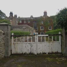
Shoreston House
1.4 km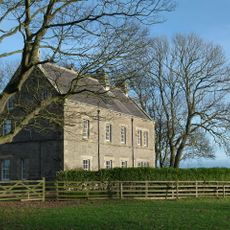
The Vicarage
2.6 km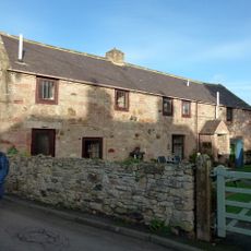
1 to 3 the Curtains off the Wynding
2.8 km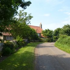
East House West House
1.4 km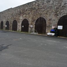
Limekilns At Seahouses Harbour
1.1 km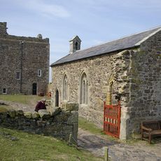
Pre-Conquest monastic cell and post-Conquest monastic settlement on Inner Farne
4.5 km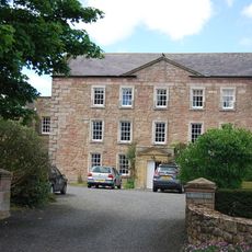
Beadnell Hall
2.8 km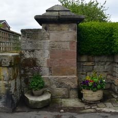
Old Pump To West Of Number 132
225 m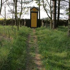
AA Telephone Kiosk Number 817
2.7 km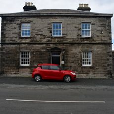
132, Main Street
255 m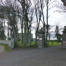
Gatepiers Gates And Railings Circa 60 Yards North Of Shoreston Hall
1.4 km
Pant And Trough At West End Of Village
346 m
Milepost, North Sunderland
1.3 kmRecensioni
Ha visitato questo luogo? Tocchi le stelle per valutarlo e condividere la Sua esperienza o foto con la community! Provalo ora! Puoi annullarlo in qualsiasi momento.
Scopri tesori nascosti ad ogni viaggio!
Da piccoli caffè caratteristici a panorami nascosti, fuggi dalla folla e scova i posti che fanno davvero per te. La nostra app ti semplifica tutto: ricerca vocale, filtri furbi, percorsi ottimizzati e dritte autentiche da viaggiatori di tutto il mondo. Scaricala subito per vivere l'avventura sul tuo smartphone!

Un nuovo approccio alla scoperta turistica❞
— Le Figaro
Tutti i luoghi che meritano di essere esplorati❞
— France Info
Un’escursione su misura in pochi clic❞
— 20 Minutes