
413 And 416, Rumbold's Hill, building in Midhurst, Chichester, West Sussex, UK
Posizione: Midhurst
Coordinate GPS: 50.98651,-0.73930
Ultimo aggiornamento: 6 aprile 2025 alle 13:28
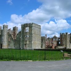
Cowdray House
549 m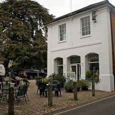
Eagle House Antiques Market With The Parish Room Over It
173 m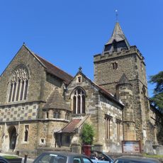
The Parish Church of St Mary
143 m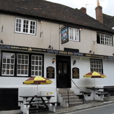
The Swan Inn
146 m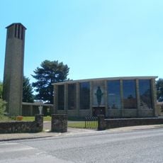
Roman Catholic Church of Divine Motherhood
378 m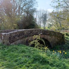
Bridge On Former Rother Navigation (At Su88942135)
408 m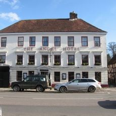
The Angel Hotel
164 m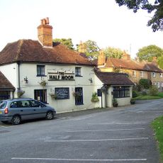
The Half Moon Inn
877 m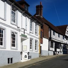
The Spread Eagle Hotel
150 m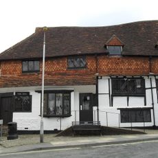
The Old Library
113 m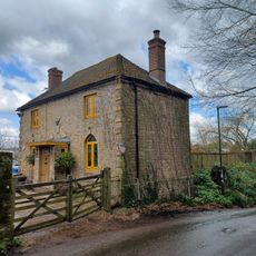
142, June Lane
575 m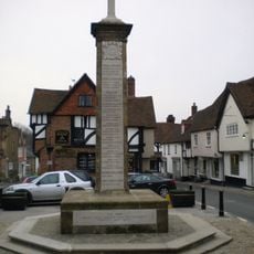
Midhurst War Memorial
123 m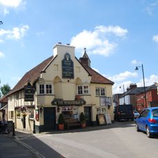
The Wheatsheaf Inn
54 m
Midhurst Library
276 m
The Harrow
207 m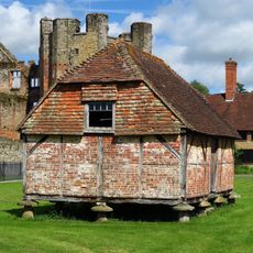
Granary Adjoining The Ruins Of Cowdray House On The South West
505 m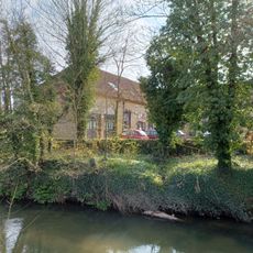
The Former Stables Of Old Cowdray House
463 m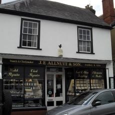
JE Allnutt and Son Ltd
132 m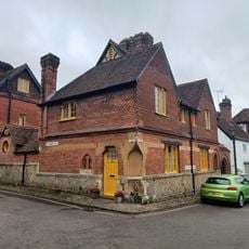
342-347 St Anne's Hill And St Ann's Hall, Including Archway To Edinburgh Square
209 m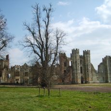
Cowdray: a fortified medieval house and part of its landscaped grounds
583 m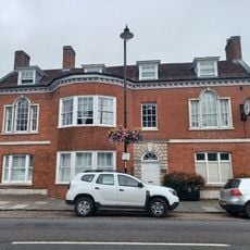
Chichester District Council Offices
157 m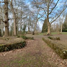
Midhurst Castle
307 m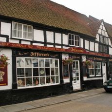
Jefferson's Butchers And Blackiston House
135 m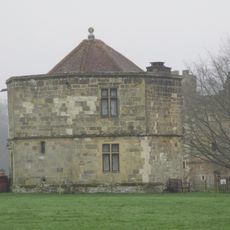
The Round Tower Or Water Tower Of Cowdray House To The North West Of The Ruins
591 m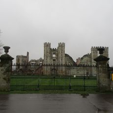
Gates Of Cowdray House
485 m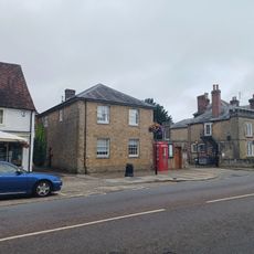
The Fomer Stables Of The Grammar School To The South Of The Original Building
238 m
Court Green
239 m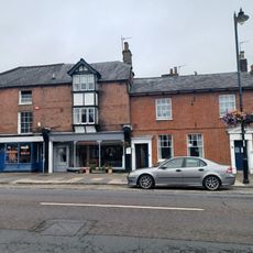
The Midhurst Club
216 mRecensioni
Ha visitato questo luogo? Tocchi le stelle per valutarlo e condividere la Sua esperienza o foto con la community! Provalo ora! Puoi annullarlo in qualsiasi momento.
Scopri tesori nascosti ad ogni viaggio!
Da piccoli caffè caratteristici a panorami nascosti, fuggi dalla folla e scova i posti che fanno davvero per te. La nostra app ti semplifica tutto: ricerca vocale, filtri furbi, percorsi ottimizzati e dritte autentiche da viaggiatori di tutto il mondo. Scaricala subito per vivere l'avventura sul tuo smartphone!

Un nuovo approccio alla scoperta turistica❞
— Le Figaro
Tutti i luoghi che meritano di essere esplorati❞
— France Info
Un’escursione su misura in pochi clic❞
— 20 Minutes