
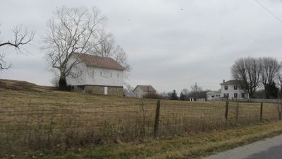
Pryor Brock Farmstead, distrikt historik në Shtetet e Bashkuara
Posizione: Indiana
Coordinate GPS: 39.97028,-86.30611
Ultimo aggiornamento: 20 marzo 2025 alle 10:45
Eagle Creek Park
10.7 km
Indianapolis Art Center
17.3 km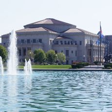
The Palladium at the Center for Performing Arts
15 km
Oak Hill Cemetery
15.3 km
Union High Academy Historic District
17.1 km
Carmel Clay Public Library
15.7 km
George Washington Tomlinson House
13.8 km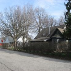
New Augusta Historic District
11.3 km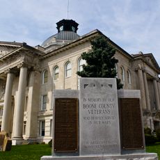
Boone County Courthouse
16.3 km
Hollingsworth House
12.8 km
Thornhurst Addition
14.4 km
John Kinzer House
16.9 km
Strange Nathanial Cragun House
16.5 km
Traders Point Eagle Creek Rural Historic District
5 km
Micah Newby House
11.1 km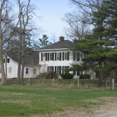
Cotton-Ropkey House
8.7 km
Town Hall
4.4 km
Hiram A. Haverstick Farmstead
16.7 km
Town of Crows Nest Historic District
17.2 km
Jamieson-Bennett House
13.6 km
Memorial Park Water Park
17.1 km
Ulen Historic District
17 km
Howard School
7.8 km
Andrew B. VanHuys Round Barn
16.2 km
Traders Point Hunt Rural Historic District
3.6 km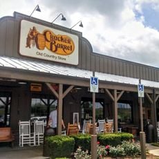
Cracker Barrel
4.7 km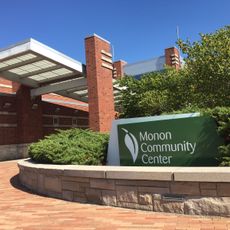
Monon Community Center Waterpark
14.5 km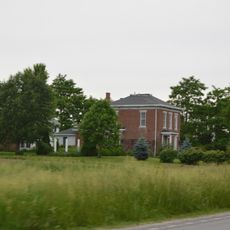
Simpson-Breedlove House
4.4 kmRecensioni
Ha visitato questo luogo? Tocchi le stelle per valutarlo e condividere la Sua esperienza o foto con la community! Provalo ora! Puoi annullarlo in qualsiasi momento.
Scopri tesori nascosti ad ogni viaggio!
Da piccoli caffè caratteristici a panorami nascosti, fuggi dalla folla e scova i posti che fanno davvero per te. La nostra app ti semplifica tutto: ricerca vocale, filtri furbi, percorsi ottimizzati e dritte autentiche da viaggiatori di tutto il mondo. Scaricala subito per vivere l'avventura sul tuo smartphone!

Un nuovo approccio alla scoperta turistica❞
— Le Figaro
Tutti i luoghi che meritano di essere esplorati❞
— France Info
Un’escursione su misura in pochi clic❞
— 20 Minutes