Oberpilsenhof, irlberg; Bauernhaus mit Schopfwalmdach, steinernes Türgewände bezeichnet mit dem Jahr „1847“, darüber Wandbild
Posizione: Anger
Indirizzo: Pilzenberg 26
Coordinate GPS: 47.79837,12.85013
Ultimo aggiornamento: 21 novembre 2025 alle 02:42
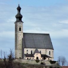
Pfarrkirche Mariä Himmelfahrt (Anger, Berchtesgadener Land)
716 m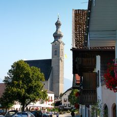
Katholische Pfarrkirche St. Mariä Himmelfahrt
712 m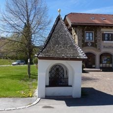
Kapelle
857 m
Friedhof Dorfplatz 1 in Anger (Berchtesgadener Land)
707 m
Türgewände
841 m
Bauernhaus
839 m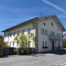
Pfarrhof
746 m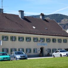
Gasthaus Metzgerwirt
727 m
Kriegerdenkmal Nähe Dorfplatz in Anger (Berchtesgadener Land)
677 m
Cultural heritage D-1-8143-0205 in Anger (Berchtesgadener Land)
708 m
Cultural heritage D-1-8143-0206 in Anger (Berchtesgadener Land)
710 m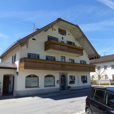
Wohnhaus
735 m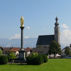
Mariensäule
765 m
Bildstock
542 m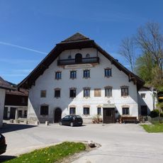
Pfaffendorfer Mühle
679 m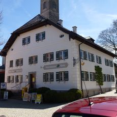
Ehemaliges Mesnerhaus
694 m
Obermühle
798 m
Wohnhaus
791 m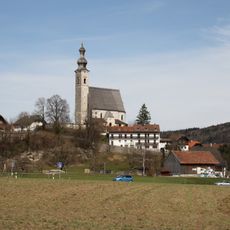
'''Ensemble Ortskern Anger'''
765 m
Bauernhaus
510 m
Bauernhaus
742 m
Figuren
815 m
Wohnhaus
795 m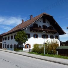
Wohnhaus
842 m
Bauernhaus
757 m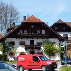
Wohnhaus
764 m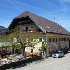
Gasthaus Post
682 m
Friedhofsmauer Dorfplatz 1 in Anger (Berchtesgadener Land)
708 mRecensioni
Ha visitato questo luogo? Tocchi le stelle per valutarlo e condividere la Sua esperienza o foto con la community! Provalo ora! Puoi annullarlo in qualsiasi momento.
Scopri tesori nascosti ad ogni viaggio!
Da piccoli caffè caratteristici a panorami nascosti, fuggi dalla folla e scova i posti che fanno davvero per te. La nostra app ti semplifica tutto: ricerca vocale, filtri furbi, percorsi ottimizzati e dritte autentiche da viaggiatori di tutto il mondo. Scaricala subito per vivere l'avventura sul tuo smartphone!

Un nuovo approccio alla scoperta turistica❞
— Le Figaro
Tutti i luoghi che meritano di essere esplorati❞
— France Info
Un’escursione su misura in pochi clic❞
— 20 Minutes