
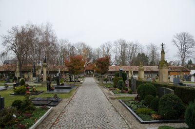
Friedhof, trapezförmige Fläche mit symmetrischem Wegenetz, angelegt 1531, südlich erweitert, wohl zweite Hälfte 19. Jahrhundert, mit Grabdenkmälern des 18. bis erste Hälfte 20. Jahrhundert
Posizione: Bad Windsheim
Indirizzo: Nähe Westheimer Straße; Nähe Südring
Coordinate GPS: 49.49869,10.41306
Ultimo aggiornamento: 4 marzo 2025 alle 08:28
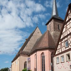
Spitalkirche
256 m
Rothenburger Straße
161 m
Rothenburger Straße 20
210 m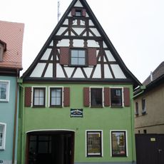
Rothenburger Straße 21
226 m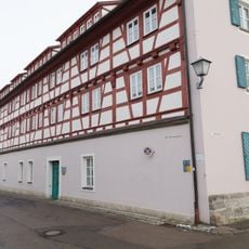
Alte Brunnengasse 1, 1a
294 m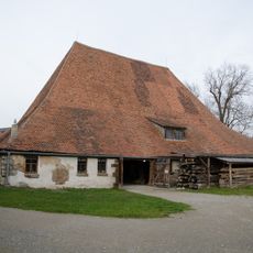
Ehemaliger Städtischer Bauhof, Bauhofstadel
285 m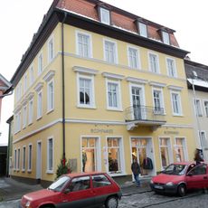
Rothenburger Straße 9
290 m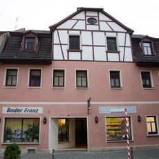
Rothenburger Straße 17
250 m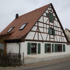
Bauhofwall
192 m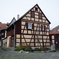
Wohnhaus
301 m
Rothenburger Straße 13
270 m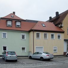
Wassergasse 15
332 m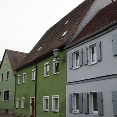
Gänsgasse 4
181 m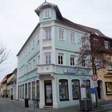
Schirmergasse 2
335 m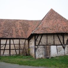
Scheune, sogenannte Spitalscheuer, dann Prellsche Scheune
262 m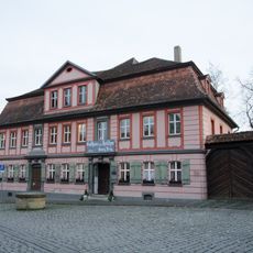
Bürgerhaus, dann Gasthaus zum Hirschen seit 1908
333 m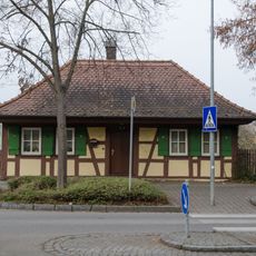
Rothenburger Straße 32
149 m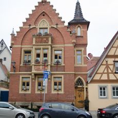
Holzmarkt 7
347 m
Spitalgasse 2
298 m
Spitalgasse 4
305 m
Rothenburger Straße 24
189 m
Alte Brunnengasse 3
270 m
Rothenburger Straße 12
296 m
Alte Brunnengasse 2
296 m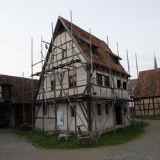
Handwerkerhaus in Bad Windsheim
253 m
Rothenburger Straße 14
282 m
Rothenburger Straße 11
274 m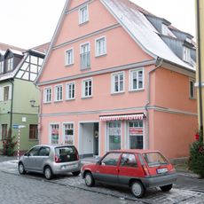
Rothenburger Straße 7
305 mRecensioni
Ha visitato questo luogo? Tocchi le stelle per valutarlo e condividere la Sua esperienza o foto con la community! Provalo ora! Puoi annullarlo in qualsiasi momento.
Scopri tesori nascosti ad ogni viaggio!
Da piccoli caffè caratteristici a panorami nascosti, fuggi dalla folla e scova i posti che fanno davvero per te. La nostra app ti semplifica tutto: ricerca vocale, filtri furbi, percorsi ottimizzati e dritte autentiche da viaggiatori di tutto il mondo. Scaricala subito per vivere l'avventura sul tuo smartphone!

Un nuovo approccio alla scoperta turistica❞
— Le Figaro
Tutti i luoghi che meritano di essere esplorati❞
— France Info
Un’escursione su misura in pochi clic❞
— 20 Minutes