
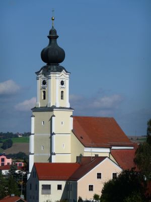
Mariä Himmelfahrt, building in Fürstenzell, Lower Bavaria, Germany
Posizione: Fürstenzell
Indirizzo: Bad Höhenstadt 19; Bad Höhenstadt 21
Coordinate GPS: 48.49744,13.31153
Ultimo aggiornamento: 8 marzo 2025 alle 22:23

Kloster Fürstenzell
2.7 km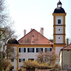
Schloss Kleeberg
5.7 km
Mariä Himmelfahrt (Fürstenzell)
2.7 km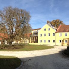
Schloss Pillham
5 km
Portenkirche
2.7 km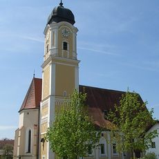
St. Martin
6.7 km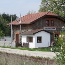
Engertsham
4.4 km
St. Valentin (Reutern, Bad Griesbach im Rottal)
6.7 km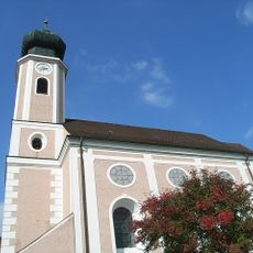
Marienkirche Ruhstorf an der Rott
7 km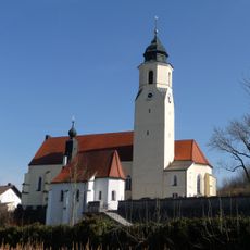
St. Michael
4 km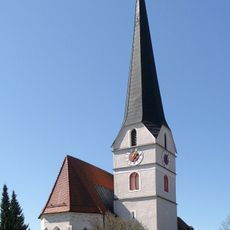
St. Stephan (Sulzbach am Inn)
7.1 km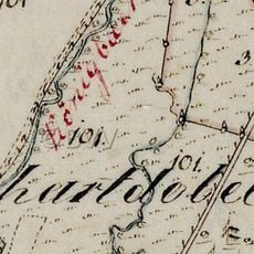
Burgstall Unterhartdobl
6 km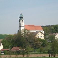
Mariä Himmelfahrt
4.4 km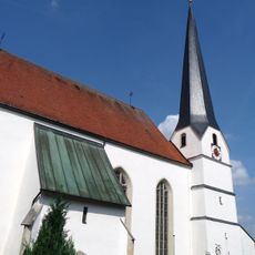
Pfarrkirche St. Johannes
5.1 km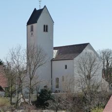
Pfarrkirche Hader (Ruhstorf an der Rott)
5 km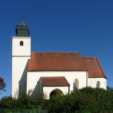
Kirche
6.5 km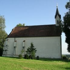
St. Nikolaus
6.5 km
Pfarrkirche St. Martin
6.7 km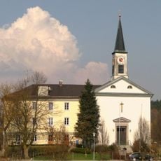
St. Johannes Nepomuk
6.3 km
Ehem. Zisterzienser-Abteikirche
2.8 km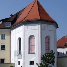
Ehem. Portenkapelle St. Margareth
2.8 km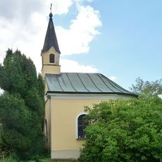
Wegkapelle
1.9 km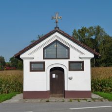
Wegkapelle
6.2 km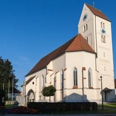
Katholische Pfarrkirche St. Valentin
6.7 km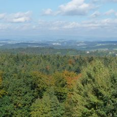
Östlicher Neuburger Wald und Innleiten bis Vornbach
5.7 km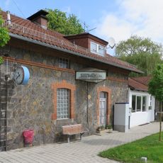
Bahnhof Sulzbach a.Inn
7 km
Ehem. Verwalterhaus
5 km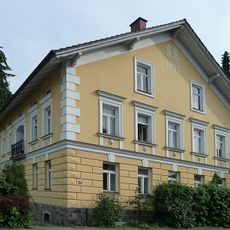
Wohnhaus der späten Gründerzeit
7 kmRecensioni
Ha visitato questo luogo? Tocchi le stelle per valutarlo e condividere la Sua esperienza o foto con la community! Provalo ora! Puoi annullarlo in qualsiasi momento.
Scopri tesori nascosti ad ogni viaggio!
Da piccoli caffè caratteristici a panorami nascosti, fuggi dalla folla e scova i posti che fanno davvero per te. La nostra app ti semplifica tutto: ricerca vocale, filtri furbi, percorsi ottimizzati e dritte autentiche da viaggiatori di tutto il mondo. Scaricala subito per vivere l'avventura sul tuo smartphone!

Un nuovo approccio alla scoperta turistica❞
— Le Figaro
Tutti i luoghi che meritano di essere esplorati❞
— France Info
Un’escursione su misura in pochi clic❞
— 20 Minutes