
LSG Rothenbürger Weiher, protected landscape in Bavaria, Germany
Posizione: Tirschenreuth
Inizio: 1963
Coordinate GPS: 49.85108,12.30381
Ultimo aggiornamento: 28 luglio 2025 alle 01:43
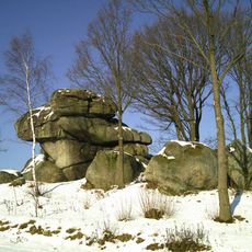
Wolfenstein
2 km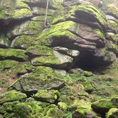
Große Teufelsküche
900 m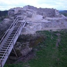
Burg Liebenstein
3 km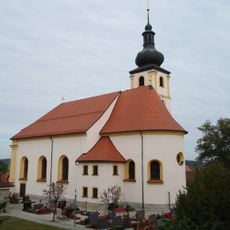
St. Laurentius (Stein)
3.4 km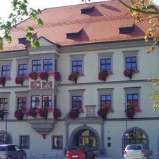
Rathaus Tirschenreuth
3.9 km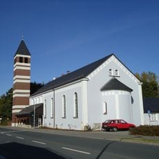
Erlöserkirche
3.8 km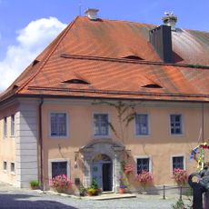
Pfarrhof (Tirschenreuth)
3.9 km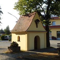
Vorholzkapelle
3.7 km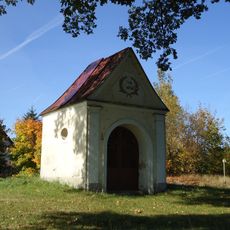
Feldkapelle, sogenannte Sägmühlkapelle
3.1 km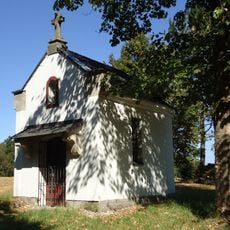
Wegkapelle
1.8 km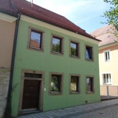
Wohnhaus
3.8 km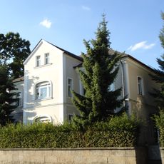
Ehemalige Villa des zweiten Direktors der Porzellanfabrik Tirschenreuth
3.7 km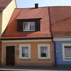
Wohnhaus
3.9 km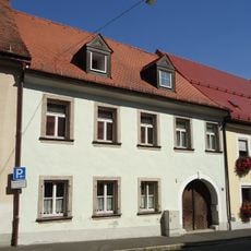
Ehemaliges Ackerbürgeranwesen
3.9 km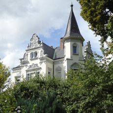
Villa, sogenannte Mayer-Villa
3.3 km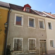
Wohnhaus
3.6 km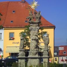
Pestvotivsäule, sogenannte Dreifaltigkeitssäule
3.9 km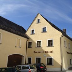
Gasthof und Wohnhaus
3.9 km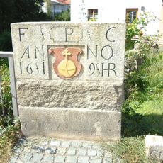
Gedenkstein für Kurfürst Friedrich V.
3.8 km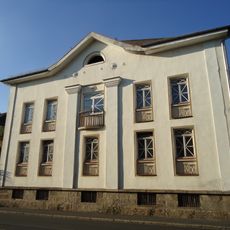
Ehemaliges Direktions- und Verwaltungsgebäude der Porzellanfabrik Tirschenreuth
3.7 km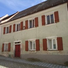
Wohnhaus
3.6 km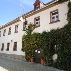
Wohnhaus
3.7 km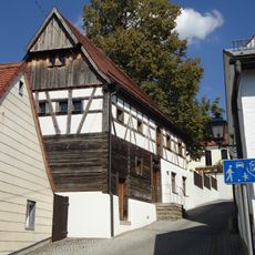
Ehemaliges Wohnstallhaus, sogenanntes Matheshaus
3.8 km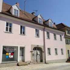
Wohnhaus
3.7 km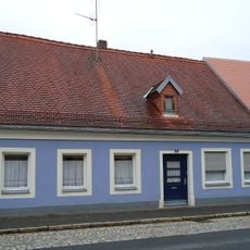
Wohnhaus
3.9 km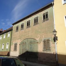
Stadel
3.8 km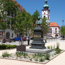
Denkmal des Germanisten und bayerischen Sprachforschers Johann Andreas Schmeller
3.9 km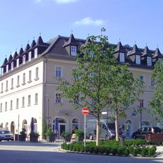
Ehemalige Posthalterei, jetzt Wohn- und Geschäftshaus
3.8 kmRecensioni
Ha visitato questo luogo? Tocchi le stelle per valutarlo e condividere la Sua esperienza o foto con la community! Provalo ora! Puoi annullarlo in qualsiasi momento.
Scopri tesori nascosti ad ogni viaggio!
Da piccoli caffè caratteristici a panorami nascosti, fuggi dalla folla e scova i posti che fanno davvero per te. La nostra app ti semplifica tutto: ricerca vocale, filtri furbi, percorsi ottimizzati e dritte autentiche da viaggiatori di tutto il mondo. Scaricala subito per vivere l'avventura sul tuo smartphone!

Un nuovo approccio alla scoperta turistica❞
— Le Figaro
Tutti i luoghi che meritano di essere esplorati❞
— France Info
Un’escursione su misura in pochi clic❞
— 20 Minutes