
Easington, English local government district
Sito web: http://www.placetobe.co.uk/
Sito web: http://placetobe.co.uk
Coordinate GPS: 54.79000,-1.35200
Ultimo aggiornamento: 26 marzo 2025 alle 21:55

Apollo Pavilion
4.5 km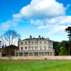
The Castle, Castle Eden
5.4 km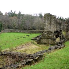
Dalden Tower
4.7 km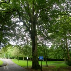
Shotton Hall
4.4 km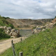
Hawthorn Quarry
2.9 km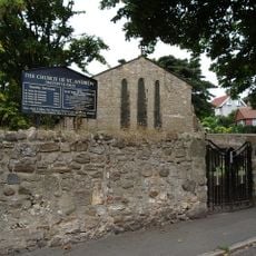
Church of St Andrew
4.1 km
Church of St Mary
731 m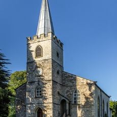
Church of St James
5.7 km
Church of St Mary the Virgin
3.9 km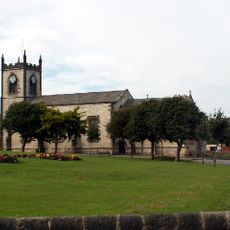
Church of St John the Evangelist
5.3 km
Christ Church
5.8 km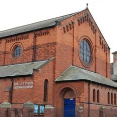
Church of St Hild and St Helen
4.4 km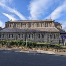
Church of St Mary Magdalen
5.5 km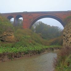
Hawthorn Dene Viaduct
3 km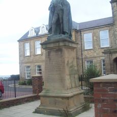
Statue of Charles Vane-Tempest-Stewart, 6th Marquess of Londonderry
5.6 km
St Saviour's Church
3.8 km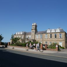
Police Station
5.6 km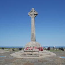
Seaham War Memorial
5.7 km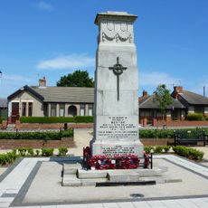
War Memorial, Village Green
4.2 km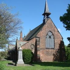
Haswell War Memorial
4.4 km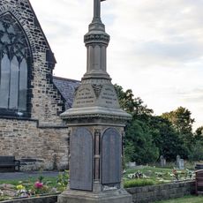
Memorial To 1880 Colliery Disater, In Garden Of Rest, 12 Metres East Of Christ Church
5.8 km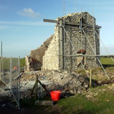
Kinley Hill Tower, 200 Metres North West Of Linley Hill Farmhouse
2.9 km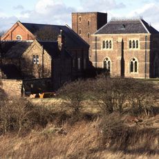
Dalton Water Pumping Station
2.9 km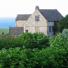
Horden Hall
2.3 km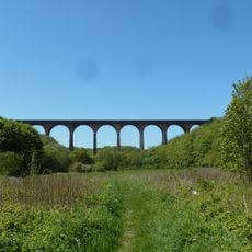
Denemouth Viaduct
5 km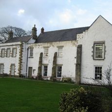
Seaton Holme
699 m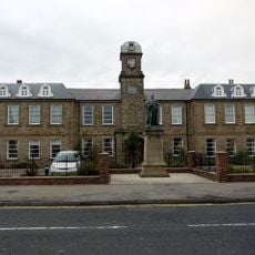
The Londonderry Institute And Forecourt Wall
5.6 km
Milestone 75 Metres North Of The Manor House
681 mRecensioni
Ha visitato questo luogo? Tocchi le stelle per valutarlo e condividere la Sua esperienza o foto con la community! Provalo ora! Puoi annullarlo in qualsiasi momento.
Scopri tesori nascosti ad ogni viaggio!
Da piccoli caffè caratteristici a panorami nascosti, fuggi dalla folla e scova i posti che fanno davvero per te. La nostra app ti semplifica tutto: ricerca vocale, filtri furbi, percorsi ottimizzati e dritte autentiche da viaggiatori di tutto il mondo. Scaricala subito per vivere l'avventura sul tuo smartphone!

Un nuovo approccio alla scoperta turistica❞
— Le Figaro
Tutti i luoghi che meritano di essere esplorati❞
— France Info
Un’escursione su misura in pochi clic❞
— 20 Minutes