
Cropredy, village and civil parish in Cherwell district, Oxfordshire, England
Posizione: Cherwell
Confina con: Claydon with Clattercot, Wardington, Bourton, Prescote, Mollington
Sito web: http://cropredyvillage.info
Coordinate GPS: 52.11600,-1.32000
Ultimo aggiornamento: 3 marzo 2025 alle 02:53
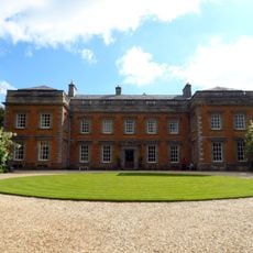
Farnborough Hall
4.4 km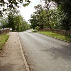
Cropredy Bridge
371 m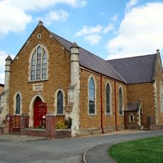
Cropredy Methodist Church
274 m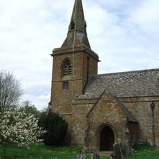
Church of St Botolph, Farnborough, Warks
4.4 km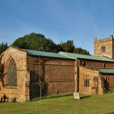
Church of All Saints
2.6 km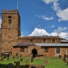
Church of St Mary Magdalene
2.5 km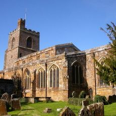
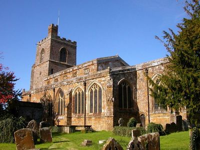
Church of St Mary the Virgin
243 m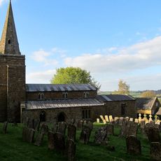
Church of St Lawrence
4.2 km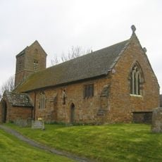
Church of St James the Great
3.6 km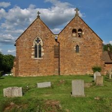
Church of All Saints
1.5 km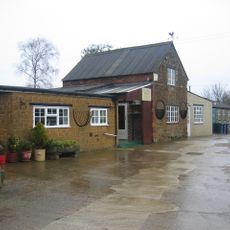
Bygones Museum
3.5 km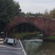
Field Bridge Number 155 Over Oxford Canal
1.2 km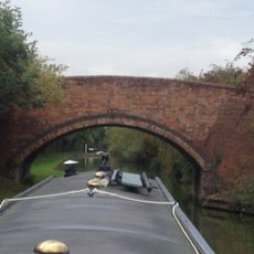
Field Bridge Number 156 Over Oxford Canal
1.7 km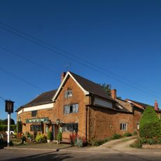
The Brasenose Arms
103 m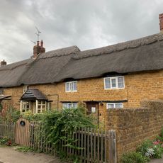
Beam Cottage Dingles And Cottage Abutting On Right
166 m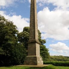
Farnborough Hall The Obelisk
4.1 km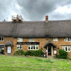
Red Lion Public House
284 m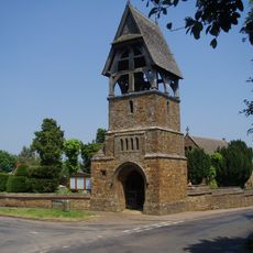
Lychgate at Church of All Saints
1.5 km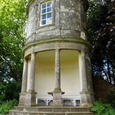
Farnborough Hall The Oval Pavilion
4.3 km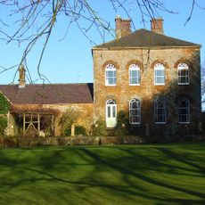
Prescote Manor
735 m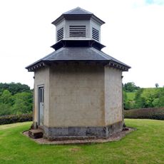
The Game Larder
4.4 km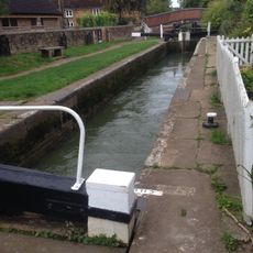
Cropredy Lock Oxford Canal
354 m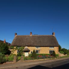
Constone
79 m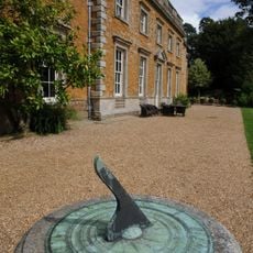
Farnborough Hall Sundial Approximately 4 Metres West
4.6 km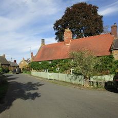
House Abutting And To Left Of Wisteria Cottage
2.5 km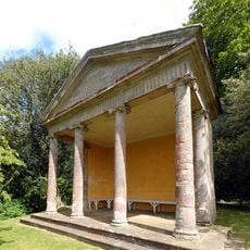
The Ionic Temple
4.3 km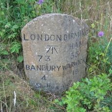
Milestone, rear northern village turn
4.8 km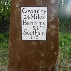
Milestone, near Little Bourton, 2 miles N of Banbury
2.8 kmRecensioni
Ha visitato questo luogo? Tocchi le stelle per valutarlo e condividere la Sua esperienza o foto con la community! Provalo ora! Puoi annullarlo in qualsiasi momento.
Scopri tesori nascosti ad ogni viaggio!
Da piccoli caffè caratteristici a panorami nascosti, fuggi dalla folla e scova i posti che fanno davvero per te. La nostra app ti semplifica tutto: ricerca vocale, filtri furbi, percorsi ottimizzati e dritte autentiche da viaggiatori di tutto il mondo. Scaricala subito per vivere l'avventura sul tuo smartphone!

Un nuovo approccio alla scoperta turistica❞
— Le Figaro
Tutti i luoghi che meritano di essere esplorati❞
— France Info
Un’escursione su misura in pochi clic❞
— 20 Minutes